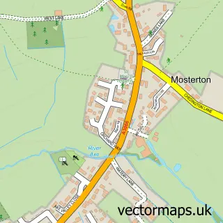
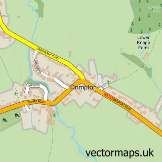
This Misterton street map is a detailed vector street map covering a 750m x 750m area. Select a larger area to create and download your own vector street map of Misterton.
The 750-metre map sample for Misterton covers 201 mapped buildings and approximately 12.3 km of road detail, of which 14 named roads are named. The immediate area includes 1 school, 1 GP surgery within 2 miles, 2 pubs and 1 MOT station, with 4 within 2 miles. The wider area around Misterton features 2 food and drink venues. To create a larger or custom map of Misterton, the map builder lets you define your own coverage area and download editable SVG, PDF and PNG files.
Create a larger editable map of Misterton
Choose any area you need and generate a high-quality vector map instantly. Perfect for print, planning, design, business and personal use.

This Misterton street map in Somerset is available as downloadable SVG, PDF and PNG map files, or as a printed map for planning, business, display, education, local information and design work. You can also create a larger custom map area using the map selector.
What this Misterton map sample shows
Misterton lies within Misterton Cp parish, part of Crewkerne ward in the Somerset local authority area. The postcode geography for this area includes the TA postcode area, the TA18 postcode district and the TA18 8 postcode sector. Residents fall under the Nhs Somerset Integrated Care Board for NHS services.
Local features near Misterton
Within 2 milesAmenities and services in and around Misterton.
Administrative and postcode information for Misterton
Misterton lies within Misterton Cp parish, part of Crewkerne ward in the Somerset local authority area. The postcode geography for this area includes the TA postcode area, the TA18 postcode district and the TA18 8 postcode sector. Residents fall under the Nhs Somerset Integrated Care Board for NHS services.
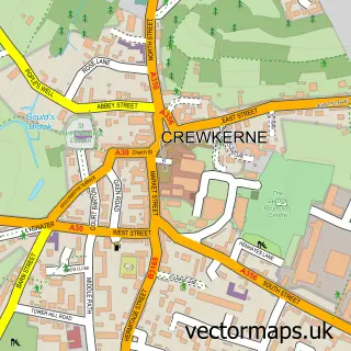
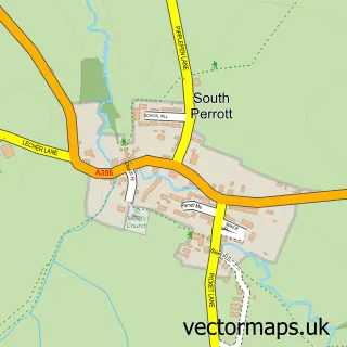
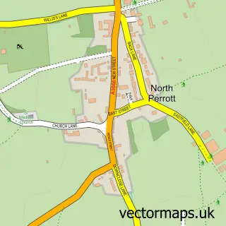
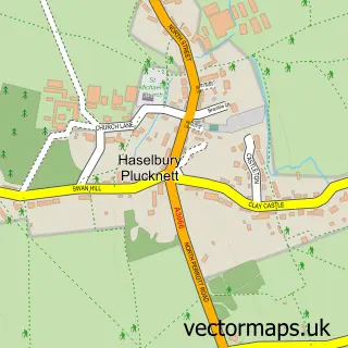
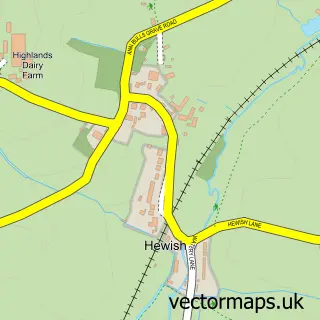
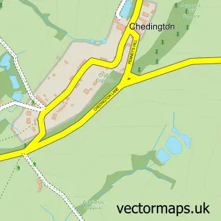
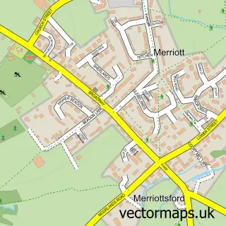
Nearby street map samples around Misterton

More street maps in Somerset
750 metre map area coverage
Boundary, postcode and point of interest information for the 750m x 750m rectangle centred on this sample map.
Boundaries containing map centre
Constituency: Yeovil Co Const
District: Somerset
Icb: NHS Somerset ICB
Parish: Misterton CP
Police Force: avon and somerset
Postcode District: TA18
Postcode Sector: TA18 8
Nearby boundaries intersecting sample
Postcode Sector: TA18 7
Postcode coverage
POI category counts
Assisted Living Facility: 2
Bed And Breakfast: 2
Pub: 2
Animal Shelter: 1
Auto Body Shop: 1
Automotive Repair: 1
Beauty And Spa: 1
Car Dealer: 1
Community Center: 1
Contractor: 1
Sample points of interest
- Bridge Farm Boarding Kennels
- South Somerset Homes
- Yarlington Housing Group
- RVS Accident Repair
- Chard Road Garage
- Beauty By Hannah
- Calendar Cottage
- Calendar Cottage Bed and Breakfast
- Misterton Garage
- Misterton Village Hall
- Richard Manning
- Tired Tailz
Create a larger editable map of Misterton
This sample shows only a 750 metre area. To create a larger map of Misterton, use our map builder to choose your own coverage area, add titles and download editable SVG, PDF and PNG files.
Create a custom map of Misterton