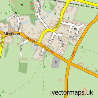
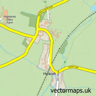
This Mosterton street map is a detailed vector street map covering a 750m x 750m area. Select a larger area to create and download your own vector street map of Mosterton.
The 750-metre map sample for Mosterton covers 188 mapped buildings and approximately 8.8 km of road detail, of which 12 named roads are named. The immediate area includes 2 pubs and 2 MOT stations within 2 miles. The wider area around Mosterton features 2 food and drink venues, 1 hotel and 1 campsite within 2 miles. To create a larger or custom map of Mosterton, the map builder lets you define your own coverage area and download editable SVG, PDF and PNG files.
Create a larger editable map of Mosterton
Choose any area you need and generate a high-quality vector map instantly. Perfect for print, planning, design, business and personal use.

This Mosterton street map in Dorset is available as downloadable SVG, PDF and PNG map files, or as a printed map for planning, business, display, education, local information and design work. You can also create a larger custom map area using the map selector.
What this Mosterton map sample shows
Mosterton lies within Mosterton Cp parish, part of Beaminster ward in the Dorset local authority area. The postcode geography for this area includes the DT postcode area, the DT8 postcode district and the DT8 3 postcode sector. Residents fall under the Nhs Dorset Integrated Care Board for NHS services.
Local features near Mosterton
Within 2 milesAmenities and services in and around Mosterton.
Administrative and postcode information for Mosterton
Mosterton lies within Mosterton Cp parish, part of Beaminster ward in the Dorset local authority area. The postcode geography for this area includes the DT postcode area, the DT8 postcode district and the DT8 3 postcode sector. Residents fall under the Nhs Dorset Integrated Care Board for NHS services.
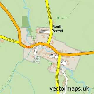
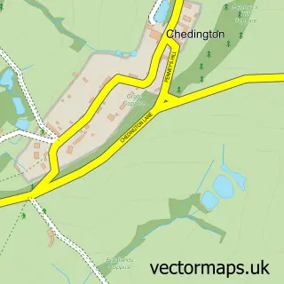
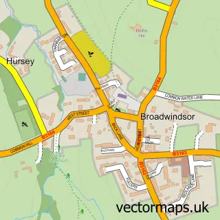
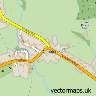
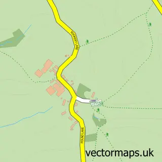
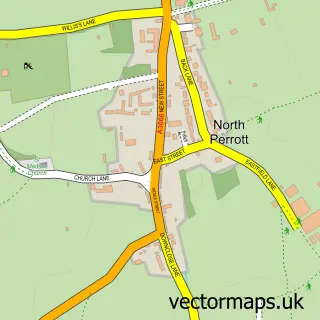
Nearby street map samples around Mosterton
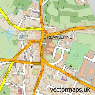

More street maps in Dorset
750 metre map area coverage
Boundary, postcode and point of interest information for the 750m x 750m rectangle centred on this sample map.
Boundaries containing map centre
Constituency: West Dorset Co Const
District: Dorset
Icb: NHS Dorset ICB
Parish: Mosterton CP
Police Force: dorset
Postcode District: DT8
Postcode Sector: DT8 3
Ward: Beaminster Ward
Nearby boundaries intersecting sample
No additional intersecting boundaries found.
Postcode coverage
POI category counts
Agricultural Service: 2
Automotive Repair: 2
Post Office: 2
Pub: 2
Anglican Church: 1
Church Cathedral: 1
Community Services Non Profits: 1
Convenience Store: 1
Farming Services: 1
Home Goods Store: 1
Sample points of interest
- DSD Mobile Tyres Ltd
- Moonridge Plant Engineers Ltd.
- Mosterton: St Mary
- Fry's Commercials
- GPB Breakers & Son
- St Mary's Church
- Mosterton Village
- SPAR
- Online Tank Store
- Eeles Family Pottery
- Buttercups Childminding
- Bowes House
Create a larger editable map of Mosterton
This sample shows only a 750 metre area. To create a larger map of Mosterton, use our map builder to choose your own coverage area, add titles and download editable SVG, PDF and PNG files.
Create a custom map of Mosterton