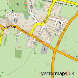
This Broadwindsor street map is a detailed vector street map covering a 750m x 750m area. Select a larger area to create and download your own vector street map of Broadwindsor.
The 750-metre map sample for Broadwindsor covers 189 mapped buildings and approximately 23.8 km of road detail, of which 13 named roads are named. The immediate area includes 1 school and 1 pub. The wider area around Broadwindsor features 1 food and drink venue. To create a larger or custom map of Broadwindsor, the map builder lets you define your own coverage area and download editable SVG, PDF and PNG files.
Create a larger editable map of Broadwindsor
Choose any area you need and generate a high-quality vector map instantly. Perfect for print, planning, design, business and personal use.

This Broadwindsor street map in Dorset is available as downloadable SVG, PDF and PNG map files, or as a printed map for planning, business, display, education, local information and design work. You can also create a larger custom map area using the map selector.
What this Broadwindsor map sample shows
Broadwindsor lies within Broadwindsor Cp parish, part of Marshwood Vale ward in the Dorset local authority area. The postcode geography for this area includes the DT postcode area, the DT8 postcode district and the DT8 3 postcode sector. Residents fall under the Nhs Dorset Integrated Care Board for NHS services.
Local features near Broadwindsor
Within 2 milesAmenities and services in and around Broadwindsor.
Administrative and postcode information for Broadwindsor
Broadwindsor lies within Broadwindsor Cp parish, part of Marshwood Vale ward in the Dorset local authority area. The postcode geography for this area includes the DT postcode area, the DT8 postcode district and the DT8 3 postcode sector. Residents fall under the Nhs Dorset Integrated Care Board for NHS services.
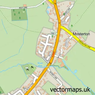
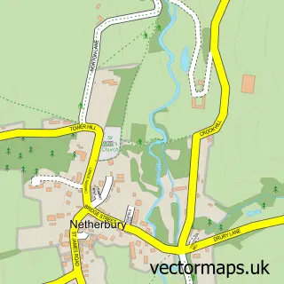
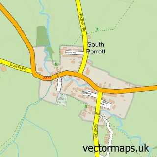
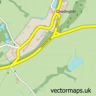
Nearby street map samples around Broadwindsor

More street maps in Dorset
750 metre map area coverage
Boundary, postcode and point of interest information for the 750m x 750m rectangle centred on this sample map.
Boundaries containing map centre
Constituency: West Dorset Co Const
District: Dorset
Icb: NHS Dorset ICB
Parish: Broadwindsor CP
Police Force: dorset
Postcode District: DT8
Postcode Sector: DT8 3
Ward: Marshwood Vale Ward
Nearby boundaries intersecting sample
Parish: Burstock CP
Postcode coverage
POI category counts
Arts And Crafts: 3
Bed And Breakfast: 2
Post Office: 2
Shopping: 2
Anglican Church: 1
Art Gallery: 1
Bakery: 1
Beauty Salon: 1
British Restaurant: 1
Building Supply Store: 1
Sample points of interest
- Broadwindsor: St John the Baptist
- Gallery of Makers
- Broadwindsor Craft & Design Centre
- Craft And Design Center Broadwinsor
- Made By Ewe
- The Wobbly Cottage
- J-Elle Aesthetics
- Crosskeys House
- Hollis Hill B&B
- The Stableyard Restaurant
- JT Property Services
- Stc plastering
Create a larger editable map of Broadwindsor
This sample shows only a 750 metre area. To create a larger map of Broadwindsor, use our map builder to choose your own coverage area, add titles and download editable SVG, PDF and PNG files.
Create a custom map of Broadwindsor