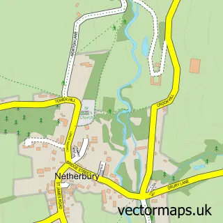
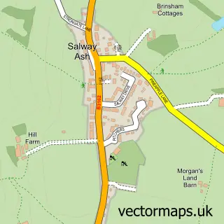
This Beaminster street map is a detailed vector street map covering a 750m x 750m area. Select a larger area to create and download your own vector street map of Beaminster.
The 750-metre map sample for Beaminster covers 364 mapped buildings and approximately 12.9 km of road detail, of which 30 named roads are named. The immediate area includes 1 GP surgery, 2 pubs and 1 MOT station, with 3 within 2 miles. The wider area around Beaminster features 2 tourism points of interest, 5 food and drink venues and 2 hotels. To create a larger or custom map of Beaminster, the map builder lets you define your own coverage area and download editable SVG, PDF and PNG files.
Create a larger editable map of Beaminster
Choose any area you need and generate a high-quality vector map instantly. Perfect for print, planning, design, business and personal use.

This Beaminster street map in Dorset is available as downloadable SVG, PDF and PNG map files, or as a printed map for planning, business, display, education, local information and design work. You can also create a larger custom map area using the map selector.
What this Beaminster map sample shows
Beaminster lies within Beaminster Cp parish, part of Beaminster ward in the Dorset local authority area. The postcode geography for this area includes the DT postcode area, the DT8 postcode district and the DT8 3 postcode sector. Residents fall under the Nhs Dorset Integrated Care Board for NHS services.
Local features near Beaminster
Within 2 milesAmenities and services in and around Beaminster.
Administrative and postcode information for Beaminster
Beaminster lies within Beaminster Cp parish, part of Beaminster ward in the Dorset local authority area. The postcode geography for this area includes the DT postcode area, the DT8 postcode district and the DT8 3 postcode sector. Residents fall under the Nhs Dorset Integrated Care Board for NHS services.
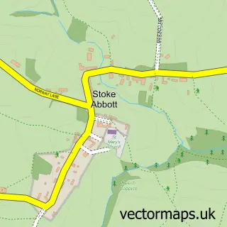
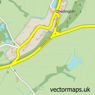
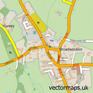
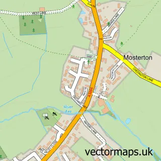
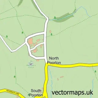
Nearby street map samples around Beaminster

More street maps in Dorset
750 metre map area coverage
Boundary, postcode and point of interest information for the 750m x 750m rectangle centred on this sample map.
Boundaries containing map centre
Constituency: West Dorset Co Const
District: Dorset
Icb: NHS Dorset ICB
Parish: Beaminster CP
Police Force: dorset
Postcode District: DT8
Postcode Sector: DT8 3
Ward: Beaminster Ward
Nearby boundaries intersecting sample
No additional intersecting boundaries found.
Postcode coverage
POI category counts
Arts And Crafts: 4
Property Management: 4
Contractor: 3
Flowers And Gifts Shop: 3
Hair Salon: 3
Professional Services: 3
Beauty Salon: 2
Butcher Shop: 2
Cafe: 2
Charity Organization: 2
Sample points of interest
- Beaminster: St Mary of the Annunciation
- The Box Garden
- Symonds and Sampson
- Art and Beyond
- Camilla Jackson Fine Art & Sculpture
- Nessie's Yarns & Crafts
- Pomegranate
- The Wonder of Wood
- Gerry Dudgeon Artist
- The Cooperative Food (BF) Beaminster
- T T S Electrical
- Dorset Caravan and Vehicle Storage
Create a larger editable map of Beaminster
This sample shows only a 750 metre area. To create a larger map of Beaminster, use our map builder to choose your own coverage area, add titles and download editable SVG, PDF and PNG files.
Create a custom map of Beaminster