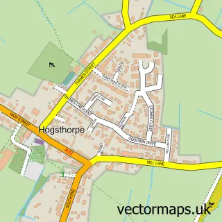
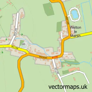
This Mumby street map is a detailed vector street map covering a 750m x 750m area. Select a larger area to create and download your own vector street map of Mumby.
The 750-metre map sample for Mumby covers 187 mapped buildings and approximately 9.6 km of road detail, of which 9 named roads are named. The immediate area includes 1 pub and 1 MOT station within 2 miles. The wider area around Mumby features 2 tourism points of interest, 2 food and drink venues and 1 hotel. To create a larger or custom map of Mumby, the map builder lets you define your own coverage area and download editable SVG, PDF and PNG files.
Create a larger editable map of Mumby
Choose any area you need and generate a high-quality vector map instantly. Perfect for print, planning, design, business and personal use.

This Mumby street map in Lincolnshire is available as downloadable SVG, PDF and PNG map files, or as a printed map for planning, business, display, education, local information and design work. You can also create a larger custom map area using the map selector.
What this Mumby map sample shows
Mumby lies within Mumby Cp parish, part of Willoughby With Sloothby ward in the East Lindsey District local authority area. The postcode geography for this area includes the LN postcode area, the LN13 postcode district and the LN13 9 postcode sector. Residents fall under the Nhs Lincolnshire Integrated Care Board for NHS services.
Local features near Mumby
Within 2 milesAmenities and services in and around Mumby.
Administrative and postcode information for Mumby
Mumby lies within Mumby Cp parish, part of Willoughby With Sloothby ward in the East Lindsey District local authority area. The postcode geography for this area includes the LN postcode area, the LN13 postcode district and the LN13 9 postcode sector. Residents fall under the Nhs Lincolnshire Integrated Care Board for NHS services.
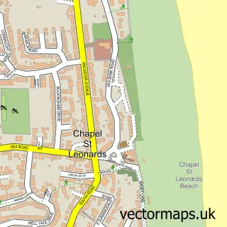
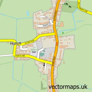
Nearby street map samples around Mumby

More street maps in Lincolnshire
750 metre map area coverage
Boundary, postcode and point of interest information for the 750m x 750m rectangle centred on this sample map.
Boundaries containing map centre
Constituency: Boston and Skegness Co Const
County: Lincolnshire County
District: East Lindsey District
Icb: NHS Lincolnshire ICB
Parish: Mumby CP
Police Force: lincolnshire
Postcode District: LN13
Postcode Sector: LN13 9
Ward: Willoughby with Sloothby Ward
Nearby boundaries intersecting sample
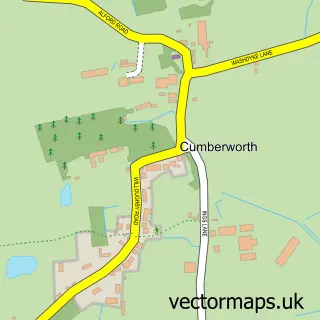
Parish: Cumberworth CP
Postcode coverage
POI category counts
Church Cathedral: 2
Anglican Church: 1
Beer Bar: 1
Campground: 1
Equestrian Facility: 1
Government Services: 1
Graphic Designer: 1
Museum: 1
Pub: 1
Restaurant: 1
Sample points of interest
- St Thomas of Canterbury
- Red Lion
- The Nurseries Caravan Park
- Christian Warriors for God
- Mumby Methodist Church
- Orchard Farm Equestrian Centre Ltd
- Civic Planning & Design Group
- Creative Thinking
- On Your Marques
- Red Lion, Mumby
- The Red Lion Mumby
- Inglenook caravan park
Create a larger editable map of Mumby
This sample shows only a 750 metre area. To create a larger map of Mumby, use our map builder to choose your own coverage area, add titles and download editable SVG, PDF and PNG files.
Create a custom map of Mumby