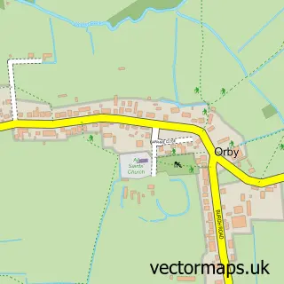
This Hogsthorpe street map is a detailed vector street map covering a 750m x 750m area. Select a larger area to create and download your own vector street map of Hogsthorpe.
The 750-metre map sample for Hogsthorpe covers 319 mapped buildings and approximately 10.0 km of road detail, of which 17 named roads are named. The immediate area includes 1 school, 1 pub and 1 MOT station within 2 miles. The wider area around Hogsthorpe features 1 food and drink venue and 1 campsite within 2 miles. To create a larger or custom map of Hogsthorpe, the map builder lets you define your own coverage area and download editable SVG, PDF and PNG files.
Create a larger editable map of Hogsthorpe
Choose any area you need and generate a high-quality vector map instantly. Perfect for print, planning, design, business and personal use.

This Hogsthorpe street map in Lincolnshire is available as downloadable SVG, PDF and PNG map files, or as a printed map for planning, business, display, education, local information and design work. You can also create a larger custom map area using the map selector.
What this Hogsthorpe map sample shows
Hogsthorpe lies within Hogsthorpe Cp parish, part of Chapel St Leonards ward in the East Lindsey District local authority area. The postcode geography for this area includes the PE postcode area, the PE24 postcode district and the PE24 5 postcode sector. Residents fall under the Nhs Lincolnshire Integrated Care Board for NHS services.
Local features near Hogsthorpe
Within 2 milesAmenities and services in and around Hogsthorpe.
Administrative and postcode information for Hogsthorpe
The local authority covering Hogsthorpe is East Lindsey District, within the county of Lincolnshire. The settlement lies within Chapel St Leonards ward and Hogsthorpe Cp civil parish. The PE24 postcode district and PE24 5 postcode sector serve the immediate area. NHS provision in the area is delivered through United Lincolnshire Hospitals Nhs Trust.
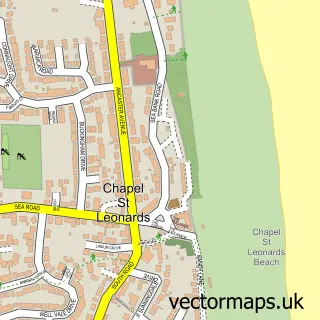
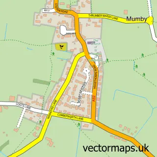
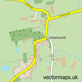
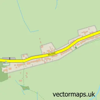
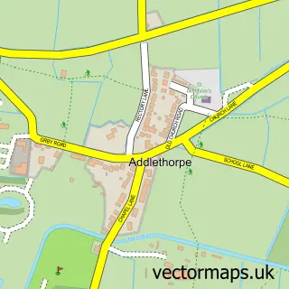
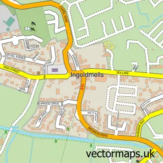
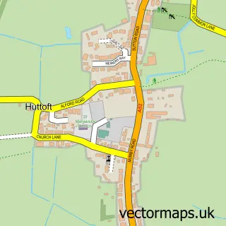
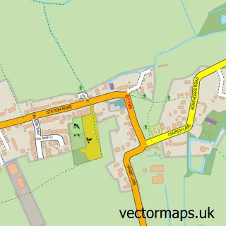
Nearby street map samples around Hogsthorpe

More street maps in Lincolnshire
750 metre map area coverage
Boundary, postcode and point of interest information for the 750m x 750m rectangle centred on this sample map.
Boundaries containing map centre
Constituency: Boston and Skegness Co Const
County: Lincolnshire County
District: East Lindsey District
Icb: NHS Lincolnshire ICB
Parish: Hogsthorpe CP
Police Force: lincolnshire
Postcode District: PE24
Postcode Sector: PE24 5
Ward: Chapel St. Leonards Ward
Nearby boundaries intersecting sample
No additional intersecting boundaries found.
Postcode coverage
POI category counts
Bar: 2
British Restaurant: 2
Carpet Store: 2
Convenience Store: 2
Advertising Agency: 1
Anglican Church: 1
Automotive Repair: 1
Bakery: 1
Bridal Shop: 1
Candy Store: 1
Sample points of interest
- Lincs Directory
- St Mary
- South End Garage
- Sharon's Novelty Cakes
- Saracens Head
- Victoria Tavern
- Jay Mumby Photography
- Thames Cottage Restaurant
- Thames Cottage Restaurant
- Wicked Fudge
- Rainbow Carpets & Beds
- Rainbow Carpets: Squires Furnishings
Create a larger editable map of Hogsthorpe
This sample shows only a 750 metre area. To create a larger map of Hogsthorpe, use our map builder to choose your own coverage area, add titles and download editable SVG, PDF and PNG files.
Create a custom map of Hogsthorpe