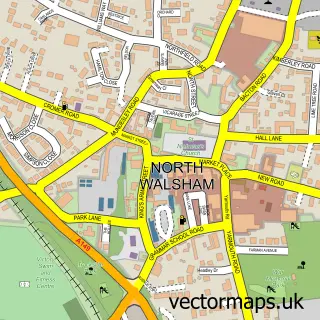
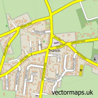
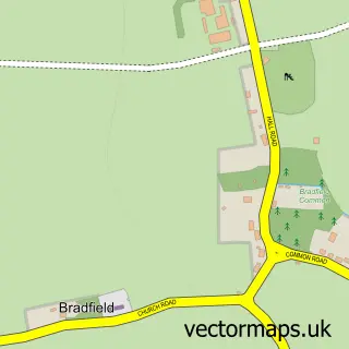
This Mundesley street map is a detailed vector street map covering a 750m x 750m area. Select a larger area to create and download your own vector street map of Mundesley.
The 750-metre map sample for Mundesley covers 337 mapped buildings and approximately 11.9 km of road detail, of which 26 named roads are named. The immediate area includes 1 GP surgery, 1 pub and 2 MOT stations within 2 miles. The wider area around Mundesley features 3 tourism points of interest, 5 food and drink venues and 7 hotels. To create a larger or custom map of Mundesley, the map builder lets you define your own coverage area and download editable SVG, PDF and PNG files.
Create a larger editable map of Mundesley
Choose any area you need and generate a high-quality vector map instantly. Perfect for print, planning, design, business and personal use.

This Mundesley street map in Norfolk is available as downloadable SVG, PDF and PNG map files, or as a printed map for planning, business, display, education, local information and design work. You can also create a larger custom map area using the map selector.
What this Mundesley map sample shows
Mundesley lies within Mundesley Cp parish, part of Mundesley ward in the North Norfolk District local authority area. The postcode geography for this area includes the NR postcode area, the NR11 postcode district and the NR11 8 postcode sector. Residents fall under the Nhs Norfolk And Waveney Integrated Care Board for NHS services.
Local features near Mundesley
Within 2 milesAmenities and services in and around Mundesley.
Administrative and postcode information for Mundesley
The local authority covering Mundesley is North Norfolk District, within the county of Norfolk. The settlement lies within Mundesley ward and Mundesley Cp civil parish. The NR11 postcode district and NR11 8 postcode sector serve the immediate area. NHS provision in the area is delivered through Norfolk And Norwich University Hospitals Nhs Foundation Trust.
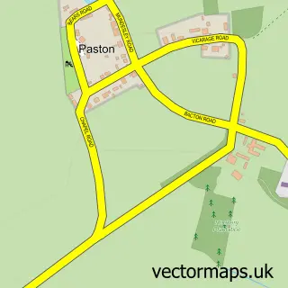
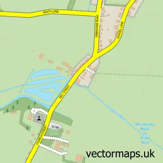
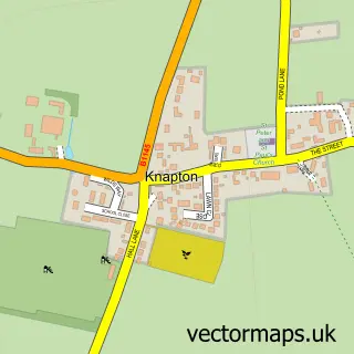
Nearby street map samples around Mundesley

More street maps in Norfolk
750 metre map area coverage
Boundary, postcode and point of interest information for the 750m x 750m rectangle centred on this sample map.
Boundaries containing map centre
Constituency: North Norfolk Co Const
County: Norfolk County
District: North Norfolk District
Icb: NHS Norfolk and Waveney ICB
Parish: Mundesley CP
Police Force: norfolk
Postcode District: NR11
Postcode Sector: NR11 8
Ward: Mundesley Ward
Nearby boundaries intersecting sample
No additional intersecting boundaries found.
Postcode coverage
POI category counts
Hotel: 7
Holiday Rental Home: 6
Flowers And Gifts Shop: 5
Church Cathedral: 3
Assisted Living Facility: 2
Beach: 2
Cafe: 2
Clothing Store: 2
Community Services Non Profits: 2
Convenience Store: 2
Sample points of interest
- The Ship Inn
- Mundesley: All Saints
- Mundesley on Show
- Munhaven Residential Care
- St Brannocks Care Home
- The Porthole
- Mundesley Beach
- Mundsley Beach , Norfolk
- Rock Paper Scissors Hair Beauty & Barbershop.
- Homely Blinds and Shutters
- BB's Burger Bar
- Mundesley Butchers
Create a larger editable map of Mundesley
This sample shows only a 750 metre area. To create a larger map of Mundesley, use our map builder to choose your own coverage area, add titles and download editable SVG, PDF and PNG files.
Create a custom map of Mundesley