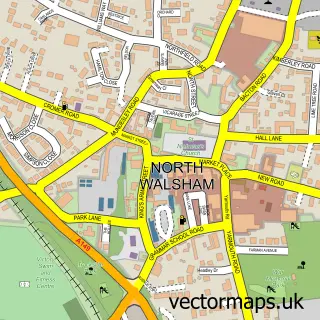
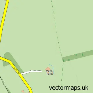
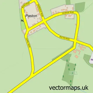
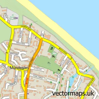
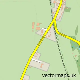
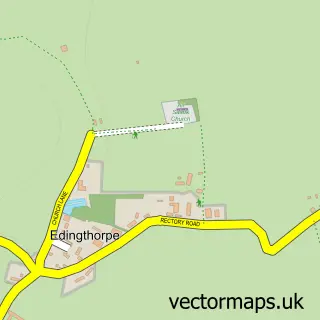
This Trunch street map is a detailed vector street map covering a 750m x 750m area. Select a larger area to create and download your own vector street map of Trunch.
The 750-metre map sample for Trunch covers 387 mapped buildings and approximately 14.8 km of road detail, of which 20 named roads are named. The immediate area includes 1 GP surgery within 2 miles, 2 pubs and 3 MOT stations within 2 miles. The wider area around Trunch features 1 tourism point of interest, 2 food and drink venues and 1 hotel. To create a larger or custom map of Trunch, the map builder lets you define your own coverage area and download editable SVG, PDF and PNG files.
Create a larger editable map of Trunch
Choose any area you need and generate a high-quality vector map instantly. Perfect for print, planning, design, business and personal use.

This Trunch street map in Norfolk is available as downloadable SVG, PDF and PNG map files, or as a printed map for planning, business, display, education, local information and design work. You can also create a larger custom map area using the map selector.
What this Trunch map sample shows
Trunch lies within Trunch Cp parish, part of Trunch ward in the North Norfolk District local authority area. The postcode geography for this area includes the NR postcode area, the NR28 postcode district and the NR28 0 postcode sector. Residents fall under the Nhs Norfolk And Waveney Integrated Care Board for NHS services.
Local features near Trunch
Within 2 milesAmenities and services in and around Trunch.
Administrative and postcode information for Trunch
The local authority covering Trunch is North Norfolk District, within the county of Norfolk. The settlement lies within Trunch ward and Trunch Cp civil parish. The NR28 postcode district and NR28 0 postcode sector serve the immediate area. NHS provision in the area is delivered through Norfolk And Norwich University Hospitals Nhs Foundation Trust.
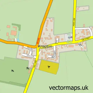
Nearby street map samples around Trunch

More street maps in Norfolk
750 metre map area coverage
Boundary, postcode and point of interest information for the 750m x 750m rectangle centred on this sample map.
Boundaries containing map centre
Constituency: North Norfolk Co Const
County: Norfolk County
District: North Norfolk District
Icb: NHS Norfolk and Waveney ICB
Parish: Trunch CP
Police Force: norfolk
Postcode District: NR28
Postcode Sector: NR28 0
Ward: Trunch Ward
Nearby boundaries intersecting sample
No additional intersecting boundaries found.
Postcode coverage
POI category counts
Church Cathedral: 2
Cottage: 2
Holiday Rental Home: 2
Music School: 2
Pub: 2
Shipping Center: 2
Anglican Church: 1
Arts And Crafts: 1
Automotive Repair: 1
Beauty And Spa: 1
Sample points of interest
- Trunch: St Botolph
- Corner House Crafts
- Trunch Garage
- Coast to Coast Beauty
- Cobalt Graphic Design
- North Walsham & Dilham Canal Trust
- Age UK
- Grand Chimney Sweep
- St Botolph's Church
- St Botolph's Church
- P J Hicks & Partners
- Ha'penny Cottage
Create a larger editable map of Trunch
This sample shows only a 750 metre area. To create a larger map of Trunch, use our map builder to choose your own coverage area, add titles and download editable SVG, PDF and PNG files.
Create a custom map of Trunch