This Nether Poppleton street map is a detailed vector street map covering a 750m x 750m area. Select a larger area to create and download your own vector street map of Nether Poppleton.
The 750-metre map sample for Nether Poppleton covers 509 mapped buildings and approximately 12.7 km of road detail, of which 25 named roads are named. The immediate area includes 1 pub and 11 MOT stations within 2 miles. The wider area around Nether Poppleton features 1 tourism point of interest, 2 food and drink venues and 1 hotel. To create a larger or custom map of Nether Poppleton, the map builder lets you define your own coverage area and download editable SVG, PDF and PNG files.
Create a larger editable map of Nether Poppleton
Choose any area you need and generate a high-quality vector map instantly. Perfect for print, planning, design, business and personal use.

This Nether Poppleton street map in North Yorkshire is available as downloadable SVG, PDF and PNG map files, or as a printed map for planning, business, display, education, local information and design work. You can also create a larger custom map area using the map selector.
What this Nether Poppleton map sample shows
Nether Poppleton lies within Nether Poppleton Cp parish, part of Rural West York ward in the York (B) local authority area. The postcode geography for this area includes the YO postcode area, the YO26 postcode district and the YO26 6 postcode sector. Residents fall under the Nhs Humber And North Yorkshire Integrated Care Board for NHS services.
Local features near Nether Poppleton
Within 2 milesAmenities and services in and around Nether Poppleton.
Administrative and postcode information for Nether Poppleton
Nether Poppleton lies within Nether Poppleton Cp parish, part of Rural West York ward in the York (B) local authority area. The postcode geography for this area includes the YO postcode area, the YO26 postcode district and the YO26 6 postcode sector. Residents fall under the Nhs Humber And North Yorkshire Integrated Care Board for NHS services.
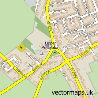
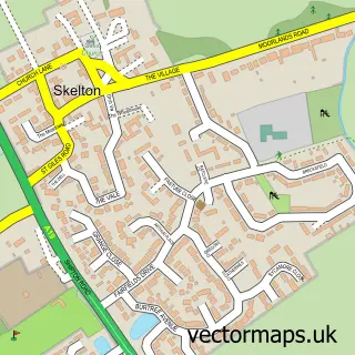
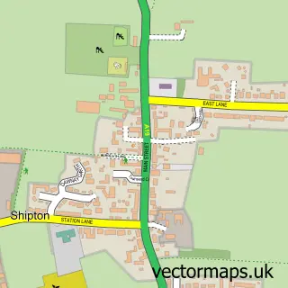
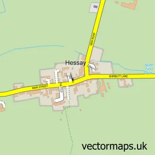
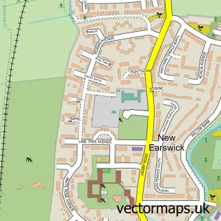
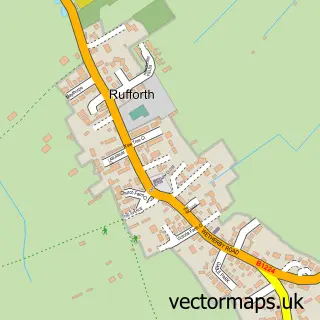
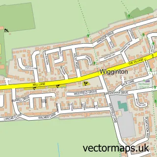
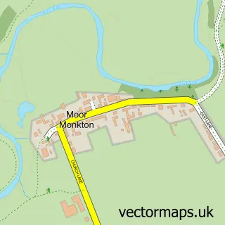
Nearby street map samples around Nether Poppleton


More street maps in North Yorkshire
750 metre map area coverage
Boundary, postcode and point of interest information for the 750m x 750m rectangle centred on this sample map.
Boundaries containing map centre
Constituency: York Outer Co Const
District: York (B)
Icb: NHS Humber and North Yorkshire ICB
Parish: Nether Poppleton CP
Police Force: north yorkshire
Postcode District: YO26
Postcode Sector: YO26 6
Ward: Rural West York Ward
Nearby boundaries intersecting sample
Constituency: Wetherby and Easingwold Co Const
District: North Yorkshire
Parish: Overton CP, Upper Poppleton CP
Postcode District: YO30
Postcode Sector: YO30 1
Postcode coverage
POI category counts
Convenience Store: 3
Preschool: 2
Anglican Church: 1
Architectural Designer: 1
Arts And Crafts: 1
Barber: 1
Beauty Salon: 1
Butcher Shop: 1
Cafe: 1
Caterer: 1
Sample points of interest
- St Everilda's
- Fining Associates - York Architects
- Secondhand Websites Ltd
- JC Barber Shop
- coat beauty
- Poppleton Village Butchers
- The Lemon Tree
- Purple Chilli Events Catering
- Carl Winn Joinery
- Cardland
- Londis
- Londis Londis Poppleton
Create a larger editable map of Nether Poppleton
This sample shows only a 750 metre area. To create a larger map of Nether Poppleton, use our map builder to choose your own coverage area, add titles and download editable SVG, PDF and PNG files.
Create a custom map of Nether Poppleton