This New Aberdour street map is a detailed vector street map covering a 750m x 750m area. Select a larger area to create and download your own vector street map of New Aberdour.
The 750-metre map sample for New Aberdour covers 133 mapped buildings and approximately 10.0 km of road detail, of which 4 named roads are named. The wider area around New Aberdour features 1 hotel. To create a larger or custom map of New Aberdour, the map builder lets you define your own coverage area and download editable SVG, PDF and PNG files.
Create a larger editable map of New Aberdour
Choose any area you need and generate a high-quality vector map instantly. Perfect for print, planning, design, business and personal use.

This New Aberdour street map in Aberdeenshire is available as downloadable SVG, PDF and PNG map files, or as a printed map for planning, business, display, education, local information and design work. You can also create a larger custom map area using the map selector.
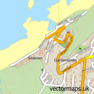
What this New Aberdour map sample shows
New Aberdour lies within Aberdeenshire parish, part of Troup ward in the Aberdeenshire local authority area. The postcode geography for this area includes the AB postcode area, the AB43 postcode district and the AB43 6 postcode sector. Residents fall under the Grampian for NHS services.
Local features near New Aberdour
Within 2 milesAmenities and services in and around New Aberdour.
Administrative and postcode information for New Aberdour
New Aberdour lies within Aberdeenshire parish, part of Troup ward in the Aberdeenshire local authority area. The postcode geography for this area includes the AB postcode area, the AB43 postcode district and the AB43 6 postcode sector. Residents fall under the Grampian for NHS services.
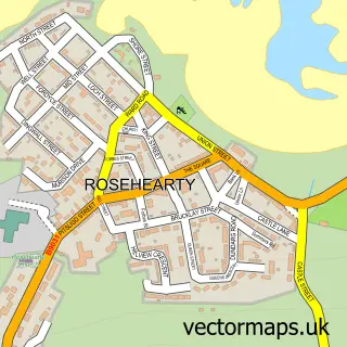
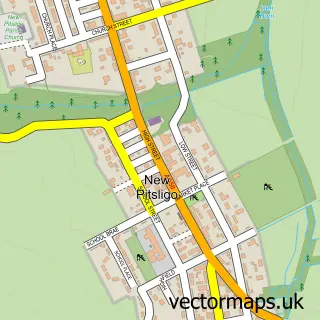
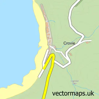
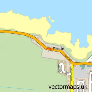
Nearby street map samples around New Aberdour

More street maps in Aberdeenshire
750 metre map area coverage
Boundary, postcode and point of interest information for the 750m x 750m rectangle centred on this sample map.
Boundaries containing map centre
Constituency: Aberdeenshire North and Moray East Co Const
District: Aberdeenshire
Icb: Grampian
Postcode District: AB43
Postcode Sector: AB43 6
Ward: Troup Ward
Nearby boundaries intersecting sample
No additional intersecting boundaries found.
Postcode coverage
POI category counts
Business Management Services: 2
Arts And Crafts: 1
Beach: 1
Catholic Church: 1
Elementary School: 1
Farm: 1
Hotel: 1
Library: 1
Post Office: 1
Sample points of interest
- Robertson Pens Scotland
- New Aberdour Beach
- David Blair Design Ltd.
- Post Office-New Aberdour
- Aberdour
- New Aberdour School
- Clinterty Texels
- B & B at the Shoppe
- New Pitsligo Library
- Post Office
Create a larger editable map of New Aberdour
This sample shows only a 750 metre area. To create a larger map of New Aberdour, use our map builder to choose your own coverage area, add titles and download editable SVG, PDF and PNG files.
Create a custom map of New Aberdour