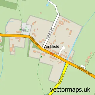
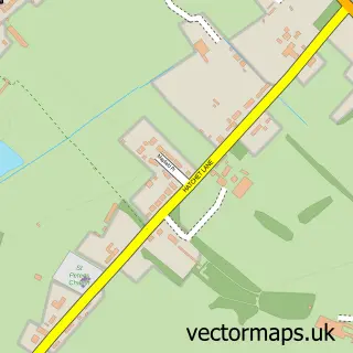
This Newell Green street map is a detailed vector street map covering a 750m x 750m area. Select a larger area to create and download your own vector street map of Newell Green.
The 750-metre map sample for Newell Green covers 219 mapped buildings and approximately 8.3 km of road detail, of which 14 named roads are named. The immediate area includes 5 GP surgeries within 2 miles, 3 pubs and 13 MOT stations within 2 miles. The wider area around Newell Green features 2 tourism points of interest and 4 food and drink venues. To create a larger or custom map of Newell Green, the map builder lets you define your own coverage area and download editable SVG, PDF and PNG files.
Create a larger editable map of Newell Green
Choose any area you need and generate a high-quality vector map instantly. Perfect for print, planning, design, business and personal use.

This Newell Green street map in Berkshire is available as downloadable SVG, PDF and PNG map files, or as a printed map for planning, business, display, education, local information and design work. You can also create a larger custom map area using the map selector.
What this Newell Green map sample shows
Newell Green lies within Warfield Cp parish, part of Binfield With Warfield ward in the Bracknell Forest (B) local authority area. The postcode geography for this area includes the RG postcode area, the RG42 postcode district and the RG42 3 postcode sector. Residents fall under the Nhs Frimley Integrated Care Board for NHS services.
Local features near Newell Green
Within 2 milesAmenities and services in and around Newell Green.
Administrative and postcode information for Newell Green
Newell Green lies within Warfield Cp parish, part of Binfield With Warfield ward in the Bracknell Forest (B) local authority area. The postcode geography for this area includes the RG postcode area, the RG42 postcode district and the RG42 3 postcode sector. Residents fall under the Nhs Frimley Integrated Care Board for NHS services.
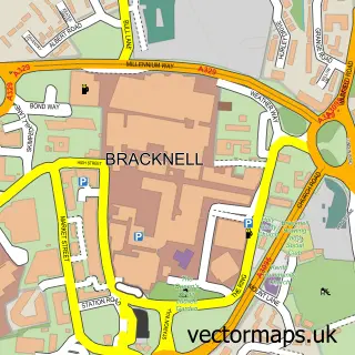
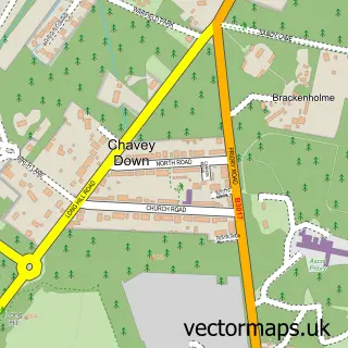
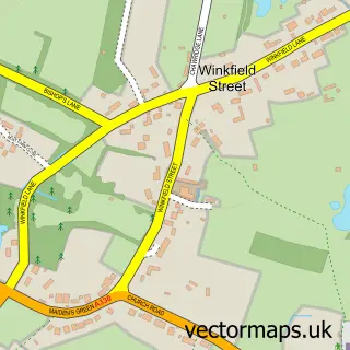
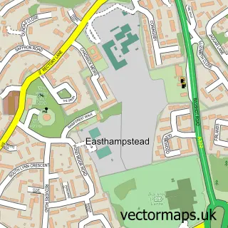
Nearby street map samples around Newell Green

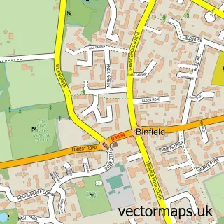
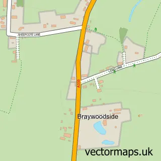
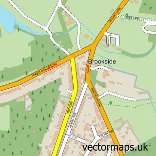
More street maps in Berkshire
750 metre map area coverage
Boundary, postcode and point of interest information for the 750m x 750m rectangle centred on this sample map.
Boundaries containing map centre
Constituency: Maidenhead Co Const
District: Bracknell Forest (B)
Icb: NHS Frimley ICB
Parish: Warfield CP
Police Force: thames valley
Postcode District: RG42
Postcode Sector: RG42 6
Ward: Binfield North & Warfield West Ward
Nearby boundaries intersecting sample
Postcode Sector: RG42 4, RG42 5
Postcode coverage
POI category counts
Pub: 3
Auto Loan Provider: 1
Bar: 1
Building Supply Store: 1
Cafe: 1
Campground: 1
Carpenter: 1
Charity Organization: 1
Community Center: 1
Financial Advising: 1
Sample points of interest
- Think Mortgages
- The Yorkshire Rose
- RJM Plastering & Rendering
- Trend Cafe
- Scotlands House Campsite -Closed till May 2025
- B.A Chamberlain
- Ayelu Integrated Social and Economic Development Association
- Brownlow Hall
- K Moore Capital Limited
- Abbey Place Mews, Nicholas King Homes
- Johnson Associates UK
- Hermitage Park
Create a larger editable map of Newell Green
This sample shows only a 750 metre area. To create a larger map of Newell Green, use our map builder to choose your own coverage area, add titles and download editable SVG, PDF and PNG files.
Create a custom map of Newell Green