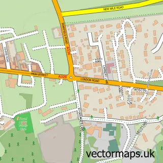
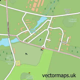
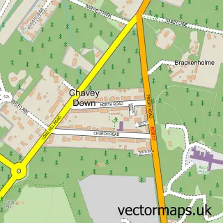
This Cranbourne street map is a detailed vector street map covering a 750m x 750m area. Select a larger area to create and download your own vector street map of Cranbourne.
The 750-metre map sample for Cranbourne covers 94 mapped buildings and approximately 5.5 km of road detail, of which 3 named roads are named. To create a larger or custom map of Cranbourne, the map builder lets you define your own coverage area and download editable SVG, PDF and PNG files.
Create a larger editable map of Cranbourne
Choose any area you need and generate a high-quality vector map instantly. Perfect for print, planning, design, business and personal use.

This Cranbourne street map in Berkshire is available as downloadable SVG, PDF and PNG map files, or as a printed map for planning, business, display, education, local information and design work. You can also create a larger custom map area using the map selector.
What this Cranbourne map sample shows
Cranbourne lies within Winkfield Cp parish, part of Winkfield And Cranbourne ward in the Bracknell Forest (B) local authority area. The postcode geography for this area includes the SL postcode area, the SL4 postcode district and the SL4 4 postcode sector. Residents fall under the Nhs Frimley Integrated Care Board for NHS services.
Local features near Cranbourne
Within 2 milesAmenities and services in and around Cranbourne.
Administrative and postcode information for Cranbourne
The local authority covering Cranbourne is Bracknell Forest (B), within the county of Berkshire. The settlement lies within Winkfield And Cranbourne ward and Winkfield Cp civil parish. The SL4 postcode district and SL4 4 postcode sector serve the immediate area. NHS provision in the area is delivered through Frimley Health Nhs Foundation Trust.
Nearby street map samples around Cranbourne

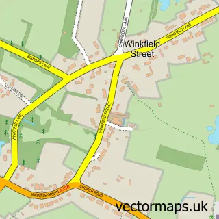
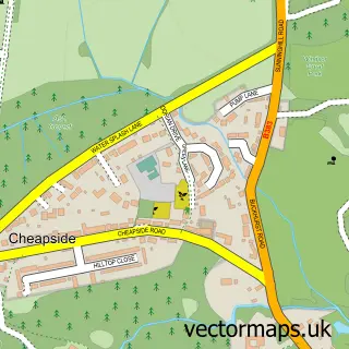
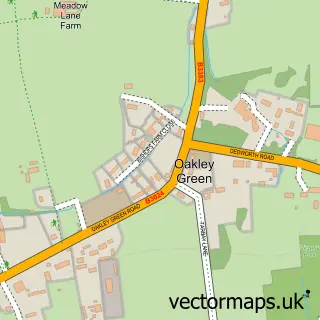
More street maps in Berkshire
750 metre map area coverage
Boundary, postcode and point of interest information for the 750m x 750m rectangle centred on this sample map.
Boundaries containing map centre
Constituency: Maidenhead Co Const
District: Bracknell Forest (B)
Icb: NHS Frimley ICB
Parish: Winkfield CP
Police Force: thames valley
Postcode District: SL4
Postcode Sector: SL4 2
Ward: Winkfield & Warfield East Ward
Nearby boundaries intersecting sample
Constituency: Windsor Co Const
District: Windsor and Maidenhead (B)
Parish: Old Windsor CP
Postcode Sector: SL4 4
Ward: Old Windsor Ward
Postcode coverage
POI category counts
Anglican Church: 1
Automotive Repair: 1
Building Supply Store: 1
Church Cathedral: 1
Gardener: 1
Hardware Store: 1
Parking: 1
Preschool: 1
Retail: 1
School: 1
Sample points of interest
- Cranbourne: St Peter's
- Berkshire Car Clearance
- ABC Michael Newstead Services
- St Peter's Church
- Seasons Green
- Low Priced Mowers
- Elite Car Care
- Little Acorns Montessori
- The Lawnmower Workshop
- Windsor Greek School - Berkshire
- Windsor Heritage Collection
Create a larger editable map of Cranbourne
This sample shows only a 750 metre area. To create a larger map of Cranbourne, use our map builder to choose your own coverage area, add titles and download editable SVG, PDF and PNG files.
Create a custom map of Cranbourne