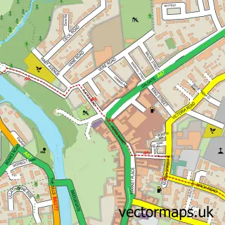
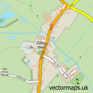
This Newsham street map is a detailed vector street map covering a 750m x 750m area. Select a larger area to create and download your own vector street map of Newsham.
The 750-metre map sample for Newsham covers 131 mapped buildings and approximately 9.0 km of road detail, of which 8 named roads are named. The immediate area includes 1 MOT station within 2 miles. The wider area around Newsham features 3 hotels and 1 campsite within 2 miles. To create a larger or custom map of Newsham, the map builder lets you define your own coverage area and download editable SVG, PDF and PNG files.
Create a larger editable map of Newsham
Choose any area you need and generate a high-quality vector map instantly. Perfect for print, planning, design, business and personal use.

This Newsham street map in North Yorkshire is available as downloadable SVG, PDF and PNG map files, or as a printed map for planning, business, display, education, local information and design work. You can also create a larger custom map area using the map selector.
What this Newsham map sample shows
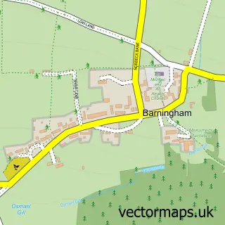
Newsham lies within Newsham Cp parish, part of Gilling West ward in the North Yorkshire local authority area. The postcode geography for this area includes the DL postcode area, the DL11 postcode district and the DL11 7 postcode sector. Residents fall under the Nhs Humber And North Yorkshire Integrated Care Board for NHS services.
Local features near Newsham
Within 2 milesAmenities and services in and around Newsham.
Administrative and postcode information for Newsham
The local authority covering Newsham is North Yorkshire, within the county of North Yorkshire. The settlement lies within Gilling West ward and Newsham Cp civil parish. The DL11 postcode district and DL11 7 postcode sector serve the immediate area. NHS provision in the area is delivered through South Tees Hospitals Nhs Foundation Trust.
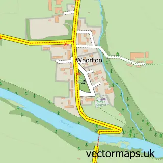
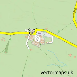
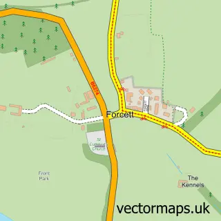
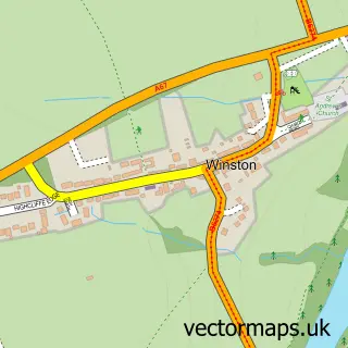
Nearby street map samples around Newsham

More street maps in North Yorkshire
750 metre map area coverage
Boundary, postcode and point of interest information for the 750m x 750m rectangle centred on this sample map.
Boundaries containing map centre
Constituency: Richmond and Northallerton Co Const
District: North Yorkshire
Icb: NHS Humber and North Yorkshire ICB
Parish: Newsham CP
Police Force: north yorkshire
Postcode District: DL11
Postcode Sector: DL11 7
Nearby boundaries intersecting sample
Parish: Dalton CP
Postcode coverage
POI category counts
Hotel: 2
Cottage: 1
Interior Design: 1
It Service And Computer Repair: 1
Lodge: 1
Metal Fabricator: 1
Plumbing: 1
Post Office: 1
Rv Park: 1
Topic Concert Venue: 1
Sample points of interest
- Tavern Cottage, Newsham, near Richmond
- Merok Cottage - Self Catering Holiday Cottage
- Merok Holiday Cottage
- House Indigo
- Harvey IT Services
- Mayfields Retreat
- Ellipse Leisure Buildings Ltd.
- Steven Maude Plumbing, Heating and Building
- Post Office
- Tavern House Caravan Park
- Newsham Village Hall
Create a larger editable map of Newsham
This sample shows only a 750 metre area. To create a larger map of Newsham, use our map builder to choose your own coverage area, add titles and download editable SVG, PDF and PNG files.
Create a custom map of Newsham