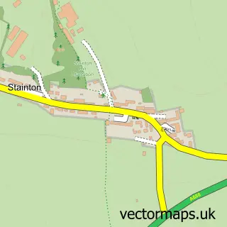
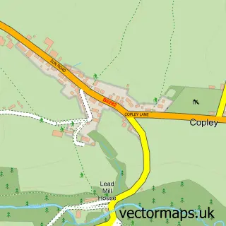
This Stainton Grove street map is a detailed vector street map covering a 750m x 750m area. Select a larger area to create and download your own vector street map of Stainton Grove.
The 750-metre map sample for Stainton Grove covers 83 mapped buildings and approximately 8.4 km of road detail, of which 6 named roads are named. The immediate area includes 1 GP surgery within 2 miles and 3 MOT stations within 2 miles. To create a larger or custom map of Stainton Grove, the map builder lets you define your own coverage area and download editable SVG, PDF and PNG files.
Create a larger editable map of Stainton Grove
Choose any area you need and generate a high-quality vector map instantly. Perfect for print, planning, design, business and personal use.

This Stainton Grove street map in Durham is available as downloadable SVG, PDF and PNG map files, or as a printed map for planning, business, display, education, local information and design work. You can also create a larger custom map area using the map selector.
What this Stainton Grove map sample shows
Stainton Grove lies within Streatlam And Stainton Cp parish, part of Barnard Castle East ward in the County Durham local authority area. The postcode geography for this area includes the DL postcode area, the DL12 postcode district and the DL12 8 postcode sector. Residents fall under the Nhs North East And North Cumbria Integrated Care Board for NHS services.
Local features near Stainton Grove
Within 2 milesAmenities and services in and around Stainton Grove.
Administrative and postcode information for Stainton Grove
Stainton Grove lies within Streatlam And Stainton Cp parish, part of Barnard Castle East ward in the County Durham local authority area. The postcode geography for this area includes the DL postcode area, the DL12 postcode district and the DL12 8 postcode sector. Residents fall under the Nhs North East And North Cumbria Integrated Care Board for NHS services.
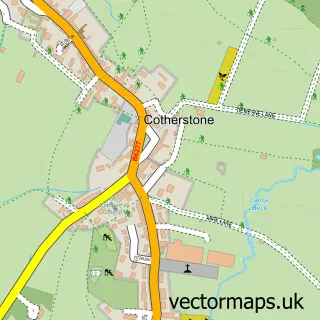
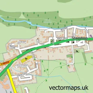
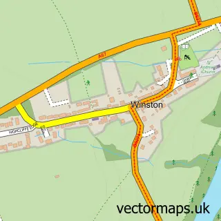
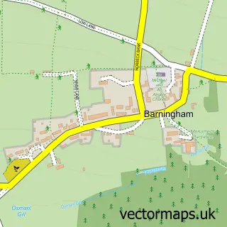
Nearby street map samples around Stainton Grove

More street maps in Durham
750 metre map area coverage
Boundary, postcode and point of interest information for the 750m x 750m rectangle centred on this sample map.
Boundaries containing map centre
Constituency: Bishop Auckland Co Const
District: County Durham
Icb: NHS North East and North Cumbria ICB
Parish: Streatlam and Stainton CP
Police Force: durham
Postcode District: DL12
Postcode Sector: DL12 8
Nearby boundaries intersecting sample
Parish: Marwood CP
Postcode coverage
POI category counts
Automotive Repair: 1
Boxing Class: 1
Business Management Services: 1
Glass And Mirror Sales Service: 1
Nursery And Gardening: 1
Package Locker: 1
Pet Store: 1
Storage Facility: 1
Sample points of interest
- Multifix
- Barnard Castle Amateur Boxing Club
- Eco EnerG Solutions Ltd.
- Wade Glass Ltd
- Palmers Home and Garden
- InPost
- Barnard Castle Pets
- Stainton Grove Storage
Create a larger editable map of Stainton Grove
This sample shows only a 750 metre area. To create a larger map of Stainton Grove, use our map builder to choose your own coverage area, add titles and download editable SVG, PDF and PNG files.
Create a custom map of Stainton Grove