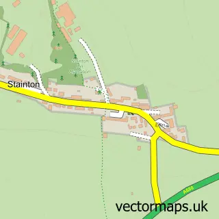
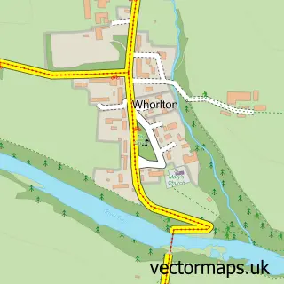
This Staindrop street map is a detailed vector street map covering a 750m x 750m area. Select a larger area to create and download your own vector street map of Staindrop.
The 750-metre map sample for Staindrop covers 198 mapped buildings and approximately 11.6 km of road detail, of which 17 named roads are named. The immediate area includes 1 school, 1 pub and 1 MOT station within 2 miles. The wider area around Staindrop features 1 food and drink venue. To create a larger or custom map of Staindrop, the map builder lets you define your own coverage area and download editable SVG, PDF and PNG files.
Create a larger editable map of Staindrop
Choose any area you need and generate a high-quality vector map instantly. Perfect for print, planning, design, business and personal use.

This Staindrop street map in Durham is available as downloadable SVG, PDF and PNG map files, or as a printed map for planning, business, display, education, local information and design work. You can also create a larger custom map area using the map selector.
What this Staindrop map sample shows
Staindrop lies within Staindrop Cp parish, part of Barnard Castle East ward in the County Durham local authority area. The postcode geography for this area includes the DL postcode area, the DL2 postcode district and the DL2 3 postcode sector. Residents fall under the Nhs North East And North Cumbria Integrated Care Board for NHS services.
Local features near Staindrop
Within 2 milesAmenities and services in and around Staindrop.
Administrative and postcode information for Staindrop
Staindrop lies within Staindrop Cp parish, part of Barnard Castle East ward in the County Durham local authority area. The postcode geography for this area includes the DL postcode area, the DL2 postcode district and the DL2 3 postcode sector. Residents fall under the Nhs North East And North Cumbria Integrated Care Board for NHS services.
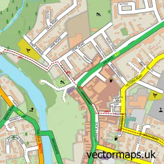
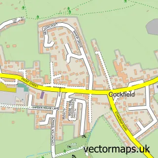
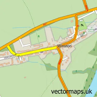
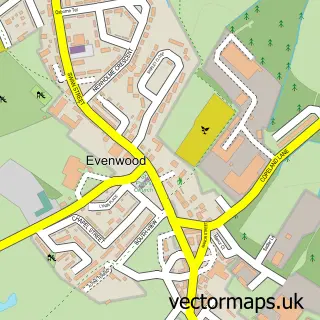
Nearby street map samples around Staindrop

More street maps in Durham
750 metre map area coverage
Boundary, postcode and point of interest information for the 750m x 750m rectangle centred on this sample map.
Boundaries containing map centre
Constituency: Bishop Auckland Co Const
District: County Durham
Icb: NHS North East and North Cumbria ICB
Parish: Staindrop CP
Police Force: durham
Postcode District: DL2
Postcode Sector: DL2 3
Nearby boundaries intersecting sample
No additional intersecting boundaries found.
Postcode coverage
POI category counts
Automotive Repair: 3
Contractor: 2
Convenience Store: 2
Doctor: 2
Preschool: 2
Shipping Center: 2
Automotive Services And Repair: 1
Bed And Breakfast: 1
Campus Building: 1
Church Cathedral: 1
Sample points of interest
- Auto Rae Chem
- Nursery Garage
- SMB 4x4
- Louis Smith Motors
- Millstone House Bed and Breakfast
- Staindrop School An Academy 4171
- St Mary's Church, Staindrop
- Durham County Council
- Staindrop Masonic Hall
- Dovetail Joinery and Building Services
- EF Paving Contractors Limited
- SPAR Staindrop
Create a larger editable map of Staindrop
This sample shows only a 750 metre area. To create a larger map of Staindrop, use our map builder to choose your own coverage area, add titles and download editable SVG, PDF and PNG files.
Create a custom map of Staindrop