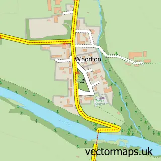
This Gainford street map is a detailed vector street map covering a 750m x 750m area. Select a larger area to create and download your own vector street map of Gainford.
The 750-metre map sample for Gainford covers 211 mapped buildings and approximately 12.2 km of road detail, of which 17 named roads are named. The immediate area includes 1 school and 1 GP surgery within 2 miles. The wider area around Gainford features 1 tourism point of interest and 1 campsite within 2 miles. To create a larger or custom map of Gainford, the map builder lets you define your own coverage area and download editable SVG, PDF and PNG files.
Create a larger editable map of Gainford
Choose any area you need and generate a high-quality vector map instantly. Perfect for print, planning, design, business and personal use.

This Gainford street map in Durham is available as downloadable SVG, PDF and PNG map files, or as a printed map for planning, business, display, education, local information and design work. You can also create a larger custom map area using the map selector.
What this Gainford map sample shows
Gainford lies within Gainford Cp parish, part of Barnard Castle East ward in the County Durham local authority area. The postcode geography for this area includes the DL postcode area, the DL2 postcode district and the DL2 3 postcode sector. Residents fall under the Nhs North East And North Cumbria Integrated Care Board for NHS services.
Local features near Gainford
Within 2 milesAmenities and services in and around Gainford.
Administrative and postcode information for Gainford
Gainford lies within Gainford Cp parish, part of Barnard Castle East ward in the County Durham local authority area. The postcode geography for this area includes the DL postcode area, the DL2 postcode district and the DL2 3 postcode sector. Residents fall under the Nhs North East And North Cumbria Integrated Care Board for NHS services.
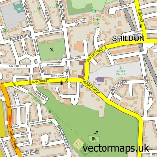
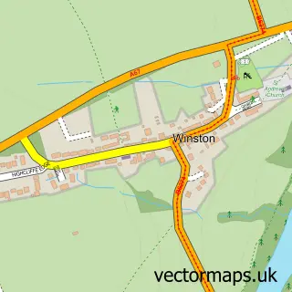
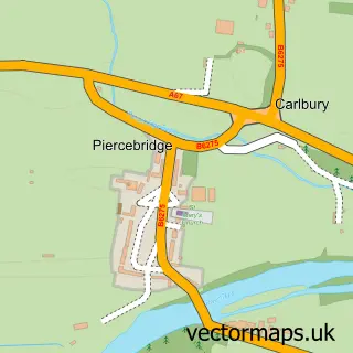
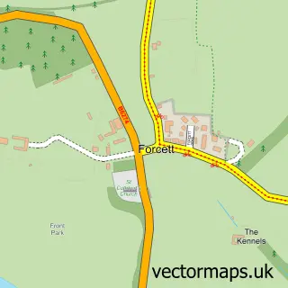
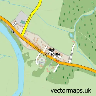
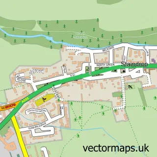
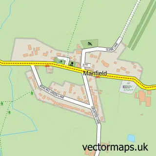
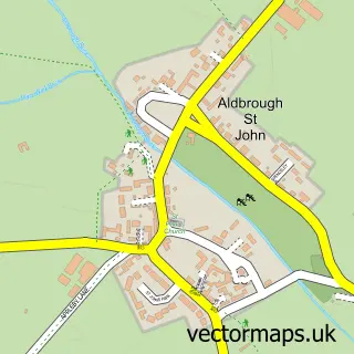
Nearby street map samples around Gainford

More street maps in Durham
750 metre map area coverage
Boundary, postcode and point of interest information for the 750m x 750m rectangle centred on this sample map.
Boundaries containing map centre
Constituency: Bishop Auckland Co Const
District: County Durham
Icb: NHS North East and North Cumbria ICB
Parish: Gainford CP
Police Force: durham
Postcode District: DL2
Postcode Sector: DL2 3
Nearby boundaries intersecting sample
Parish: Barforth CP
Postcode District: DL11
Postcode Sector: DL11 7
Postcode coverage
POI category counts
Hair Salon: 3
Church Cathedral: 2
Sports And Recreation Venue: 2
Theatre: 2
Atms: 1
Attractions And Activities: 1
Automotive Services And Repair: 1
Building Supply Store: 1
Carpet Cleaning: 1
Caterer: 1
Sample points of interest
- PayPoint
- Gainford River
- The Football Database
- Gainford Property Developments
- Spotless Carpet & Upholstery Cleaning
- Gainford Montalbo Village Hall
- St Osmund's
- Gainford St Mary's and Winston St Andrew's
- St Mary's Church, Gainford
- Gainford Village Hall
- Charge Bros
- Charge Bros
Create a larger editable map of Gainford
This sample shows only a 750 metre area. To create a larger map of Gainford, use our map builder to choose your own coverage area, add titles and download editable SVG, PDF and PNG files.
Create a custom map of Gainford