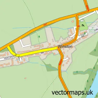
This Piercebridge street map is a detailed vector street map covering a 750m x 750m area. Select a larger area to create and download your own vector street map of Piercebridge.
The 750-metre map sample for Piercebridge covers 62 mapped buildings and approximately 9.2 km of road detail. The immediate area includes 1 pub. The wider area around Piercebridge features 1 tourism point of interest, 1 food and drink venue and 1 hotel. To create a larger or custom map of Piercebridge, the map builder lets you define your own coverage area and download editable SVG, PDF and PNG files.
Create a larger editable map of Piercebridge
Choose any area you need and generate a high-quality vector map instantly. Perfect for print, planning, design, business and personal use.

This Piercebridge street map in Durham is available as downloadable SVG, PDF and PNG map files, or as a printed map for planning, business, display, education, local information and design work. You can also create a larger custom map area using the map selector.
What this Piercebridge map sample shows
Piercebridge lies within Piercebridge Cp parish, part of Heighington & Coniscliffe ward in the Darlington (B) local authority area. The postcode geography for this area includes the DL postcode area, the DL2 postcode district and the DL2 3 postcode sector. Residents fall under the Nhs North East And North Cumbria Integrated Care Board for NHS services.
Local features near Piercebridge
Within 2 milesAmenities and services in and around Piercebridge.
Administrative and postcode information for Piercebridge
Piercebridge lies within Piercebridge Cp parish, part of Heighington & Coniscliffe ward in the Darlington (B) local authority area. The postcode geography for this area includes the DL postcode area, the DL2 postcode district and the DL2 3 postcode sector. Residents fall under the Nhs North East And North Cumbria Integrated Care Board for NHS services.
Nearby street map samples around Piercebridge
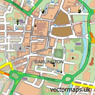

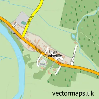
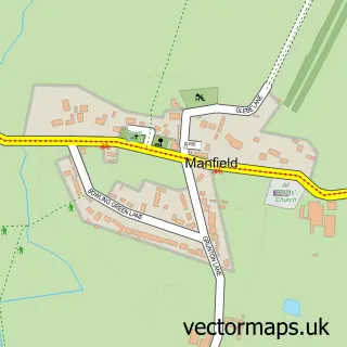
More street maps in Durham
750 metre map area coverage
Boundary, postcode and point of interest information for the 750m x 750m rectangle centred on this sample map.
Boundaries containing map centre
Constituency: Darlington Co Const
District: Darlington (B)
Icb: NHS North East and North Cumbria ICB
Parish: Piercebridge CP
Police Force: durham
Postcode District: DL2
Postcode Sector: DL2 3
Ward: Heighington & Coniscliffe Ward
Nearby boundaries intersecting sample
Constituency: Richmond and Northallerton Co Const
District: North Yorkshire
Parish: Cliffe CP, High Coniscliffe CP, Manfield CP
Police Force: north yorkshire
Postcode coverage
POI category counts
Post Office: 2
Anglican Church: 1
Bed And Breakfast: 1
Bridge: 1
Business Management Services: 1
Farm: 1
Home And Garden: 1
Hotel: 1
Landmark And Historical Building: 1
Pub: 1
Sample points of interest
- St Mary's Church Piercebridge
- The Bridge House
- Piercebridge Roman Bridge
- Piercebridge Post Office
- Piercebridge Farm
- Sam Turner and Sons
- The George of Piercebridge
- Piercebridge Roman Fort
- Piercebridge Post Office
- Post Office
- The Fox Hole
- Chris Hodgson
Create a larger editable map of Piercebridge
This sample shows only a 750 metre area. To create a larger map of Piercebridge, use our map builder to choose your own coverage area, add titles and download editable SVG, PDF and PNG files.
Create a custom map of Piercebridge