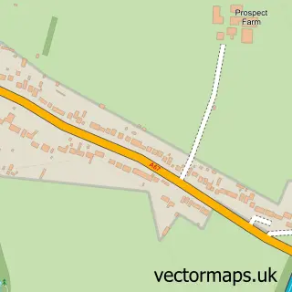
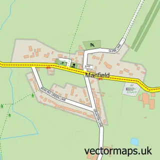
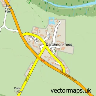
This Stapleton street map is a detailed vector street map covering a 750m x 750m area. Select a larger area to create and download your own vector street map of Stapleton.
The 750-metre map sample for Stapleton covers 84 mapped buildings and approximately 9.0 km of road detail, of which 6 named roads are named. The immediate area includes 1 GP surgery within 2 miles, 1 pub and 1 MOT station within 2 miles. The wider area around Stapleton features 1 food and drink venue. To create a larger or custom map of Stapleton, the map builder lets you define your own coverage area and download editable SVG, PDF and PNG files.
Create a larger editable map of Stapleton
Choose any area you need and generate a high-quality vector map instantly. Perfect for print, planning, design, business and personal use.

This Stapleton street map in North Yorkshire is available as downloadable SVG, PDF and PNG map files, or as a printed map for planning, business, display, education, local information and design work. You can also create a larger custom map area using the map selector.
What this Stapleton map sample shows
Stapleton lies within Stapleton Cp parish, part of Croft & Middleton Tyas ward in the North Yorkshire local authority area. The postcode geography for this area includes the DL postcode area, the DL2 postcode district and the DL2 2 postcode sector. Residents fall under the Nhs Humber And North Yorkshire Integrated Care Board for NHS services.
Local features near Stapleton
Within 2 milesAmenities and services in and around Stapleton.
Administrative and postcode information for Stapleton
Stapleton lies within Stapleton Cp parish, part of Croft & Middleton Tyas ward in the North Yorkshire local authority area. The postcode geography for this area includes the DL postcode area, the DL2 postcode district and the DL2 2 postcode sector. Residents fall under the Nhs Humber And North Yorkshire Integrated Care Board for NHS services.
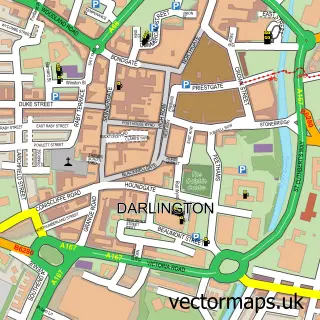
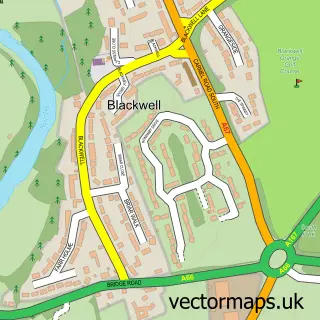
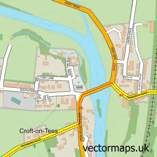
Nearby street map samples around Stapleton

More street maps in North Yorkshire
750 metre map area coverage
Boundary, postcode and point of interest information for the 750m x 750m rectangle centred on this sample map.
Boundaries containing map centre
Constituency: Richmond and Northallerton Co Const
District: North Yorkshire
Icb: NHS Humber and North Yorkshire ICB
Parish: Stapleton CP
Police Force: north yorkshire
Postcode District: DL2
Postcode Sector: DL2 2
Nearby boundaries intersecting sample
Constituency: Stockton West Co Const
District: Darlington (B)
Parish: Cleasby CP, Hurworth CP
Police Force: durham
Ward: Hurworth Ward
Postcode coverage
POI category counts
Computer Store: 1
Day Care Preschool: 1
Furniture Manufacturers: 1
Home Service: 1
It Service And Computer Repair: 1
Metal Supplier: 1
Pet Groomer: 1
Pub: 1
Truck Dealer: 1
Sample points of interest
- Bluecom Computer Repairs
- Kids Planet High Bank
- William Hill
- Rider Industrial Services
- Bluecom
- Jessica Flinn Designs
- Prim and Proper Dog Grooming by Melissa
- The Bridge Inn
- Rider Industrial Services
Create a larger editable map of Stapleton
This sample shows only a 750 metre area. To create a larger map of Stapleton, use our map builder to choose your own coverage area, add titles and download editable SVG, PDF and PNG files.
Create a custom map of Stapleton