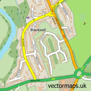
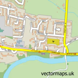
This Darlington street map is a detailed vector street map covering a 750m x 750m area. Select a larger area to create and download your own vector street map of Darlington.
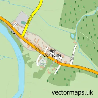
The 750-metre map sample for Darlington covers 157 mapped buildings and approximately 26.9 km of road detail, of which 71 named roads are named. The immediate area includes 1 GP surgery, with 9 within 2 miles, 42 pubs and 42 MOT stations within 2 miles. The wider area around Darlington features 8 tourism points of interest, 99 food and drink venues and 11 hotels. To create a larger or custom map of Darlington, the map builder lets you define your own coverage area and download editable SVG, PDF and PNG files.
Create a larger editable map of Darlington
Choose any area you need and generate a high-quality vector map instantly. Perfect for print, planning, design, business and personal use.

This Darlington street map in Durham is available as downloadable SVG, PDF and PNG map files, or as a printed map for planning, business, display, education, local information and design work. You can also create a larger custom map area using the map selector.
What this Darlington map sample shows
Darlington lies within Darlington (B) parish, part of Northgate ward in the Darlington (B) local authority area. The postcode geography for this area includes the DL postcode area, the DL1 postcode district and the DL1 1 postcode sector. Residents fall under the Nhs North East And North Cumbria Integrated Care Board for NHS services.
Local features near Darlington
Within 2 milesAmenities and services in and around Darlington.
Administrative and postcode information for Darlington
The local authority covering Darlington is Darlington (B), within the county of Durham. The settlement lies within Northgate ward and Darlington (B) civil parish. The DL1 postcode district and DL1 1 postcode sector serve the immediate area. NHS provision in the area is delivered through County Durham And Darlington Nhs Foundation Trust.
Nearby street map samples around Darlington

More street maps in Durham
750 metre map area coverage
Boundary, postcode and point of interest information for the 750m x 750m rectangle centred on this sample map.
Boundaries containing map centre
Constituency: Darlington Co Const
District: Darlington (B)
Icb: NHS North East and North Cumbria ICB
Police Force: durham
Postcode District: DL1
Postcode Sector: DL1 5
Ward: Park East Ward
Nearby boundaries intersecting sample
Postcode District: DL3
Postcode Sector: DL1 1, DL3 6, DL3 7
Ward: Northgate Ward, Park West Ward, Pierremont Ward
Postcode coverage
POI category counts
Beauty Salon: 56
Hair Salon: 42
Pub: 42
Clothing Store: 31
Real Estate Agent: 28
Jewelry Store: 27
Professional Services: 25
Restaurant: 25
Bar: 22
Mobile Phone Store: 21
Sample points of interest
- Ardenter Payroll
- Blaeford Richardson Darlington Ltd
- Haines Watts Darlington
- King Hope
- MCT Accountants
- MKS Accountancy
- Mitchell Gordon LLP
- Patterson Hall Chartered Accountants
- Saks Accounting Services
- Sanders Swinbank
- The Accountant
- The Office (North East) Ltd.
Create a larger editable map of Darlington
This sample shows only a 750 metre area. To create a larger map of Darlington, use our map builder to choose your own coverage area, add titles and download editable SVG, PDF and PNG files.
Create a custom map of Darlington