This Hurworth-on-Tees street map is a detailed vector street map covering a 750m x 750m area. Select a larger area to create and download your own vector street map of Hurworth-on-Tees.
The 750-metre map sample for Hurworth-on-Tees covers 307 mapped buildings and approximately 11.7 km of road detail, of which 25 named roads are named. The immediate area includes 2 schools, 1 GP surgery within 2 miles, 2 pubs and 1 MOT station within 2 miles. The wider area around Hurworth-on-Tees features 1 tourism point of interest and 2 food and drink venues. To create a larger or custom map of Hurworth-on-Tees, the map builder lets you define your own coverage area and download editable SVG, PDF and PNG files.
Create a larger editable map of Hurworth-on-Tees
Choose any area you need and generate a high-quality vector map instantly. Perfect for print, planning, design, business and personal use.

This Hurworth-on-Tees street map in Durham is available as downloadable SVG, PDF and PNG map files, or as a printed map for planning, business, display, education, local information and design work. You can also create a larger custom map area using the map selector.
What this Hurworth-on-Tees map sample shows
Hurworth-on-Tees lies within Hurworth Cp parish, part of Hurworth ward in the Darlington (B) local authority area. The postcode geography for this area includes the DL postcode area, the DL2 postcode district and the DL2 2 postcode sector. Residents fall under the Nhs North East And North Cumbria Integrated Care Board for NHS services.
Local features near Hurworth-on-Tees
Within 2 milesAmenities and services in and around Hurworth-on-Tees.
Administrative and postcode information for Hurworth-on-Tees
The local authority covering Hurworth-on-Tees is Darlington (B), within the county of Durham. The settlement lies within Hurworth ward and Hurworth Cp civil parish. The DL2 postcode district and DL2 2 postcode sector serve the immediate area. NHS provision in the area is delivered through County Durham And Darlington Nhs Foundation Trust.
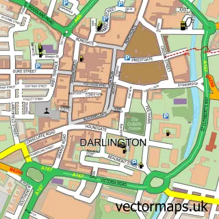
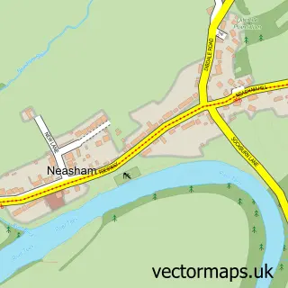
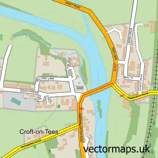
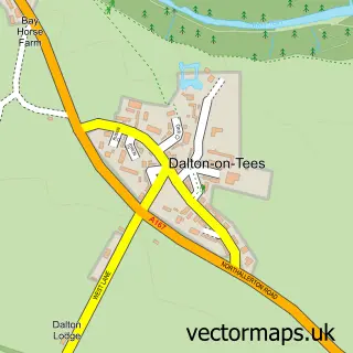
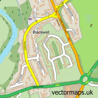
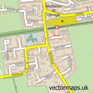
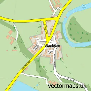
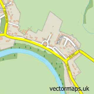
Nearby street map samples around Hurworth-on-Tees


More street maps in Durham
750 metre map area coverage
Boundary, postcode and point of interest information for the 750m x 750m rectangle centred on this sample map.
Boundaries containing map centre
Constituency: Stockton West Co Const
District: Darlington (B)
Icb: NHS North East and North Cumbria ICB
Parish: Hurworth CP
Police Force: durham
Postcode District: DL2
Postcode Sector: DL2 2
Ward: Hurworth Ward
Nearby boundaries intersecting sample
Constituency: Richmond and Northallerton Co Const
District: North Yorkshire
Icb: NHS Humber and North Yorkshire ICB
Parish: Eryholme CP
Police Force: north yorkshire
Postcode coverage
POI category counts
Pet Services: 2
Physical Therapy: 2
Pub: 2
Anglican Church: 1
Beer Garden: 1
British Restaurant: 1
Building Supply Store: 1
Church Cathedral: 1
Community Services Non Profits: 1
Dentist: 1
Sample points of interest
- All Saints Church, Hurworth
- Emmerson Arms
- La Vita
- Plumber 24hr
- All Saints Church
- Hurworth Village Hall
- Onward House Dental Practice
- Priory Education & Childrens Services
- 3 Wire
- Hurworth Primary School
- Hurworth Fisheries
- The Bay Horse
Create a larger editable map of Hurworth-on-Tees
This sample shows only a 750 metre area. To create a larger map of Hurworth-on-Tees, use our map builder to choose your own coverage area, add titles and download editable SVG, PDF and PNG files.
Create a custom map of Hurworth-on-Tees