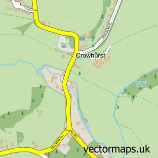
This Ninfield street map is a detailed vector street map covering a 750m x 750m area. Select a larger area to create and download your own vector street map of Ninfield.
The 750-metre map sample for Ninfield covers 290 mapped buildings and approximately 11.5 km of road detail, of which 16 named roads are named. The immediate area includes 1 pub and 2 MOT stations within 2 miles. The wider area around Ninfield features 1 tourism point of interest, 1 food and drink venue and 2 campsites within 2 miles. To create a larger or custom map of Ninfield, the map builder lets you define your own coverage area and download editable SVG, PDF and PNG files.
Create a larger editable map of Ninfield
Choose any area you need and generate a high-quality vector map instantly. Perfect for print, planning, design, business and personal use.

This Ninfield street map in East Sussex is available as downloadable SVG, PDF and PNG map files, or as a printed map for planning, business, display, education, local information and design work. You can also create a larger custom map area using the map selector.
What this Ninfield map sample shows
Ninfield lies within Ninfield Cp parish, part of Herstmonceux & Pevensey Levels ward in the Wealden District local authority area. The postcode geography for this area includes the TN postcode area, the TN33 postcode district and the TN33 9 postcode sector. Residents fall under the Nhs Sussex Integrated Care Board for NHS services.
Local features near Ninfield
Within 2 milesAmenities and services in and around Ninfield.
Administrative and postcode information for Ninfield
The local authority covering Ninfield is Wealden District, within the county of East Sussex. The settlement lies within Herstmonceux & Pevensey Levels ward and Ninfield Cp civil parish. The TN33 postcode district and TN33 9 postcode sector serve the immediate area. NHS provision in the area is delivered through East Sussex Healthcare Nhs Trust.
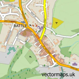
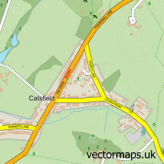
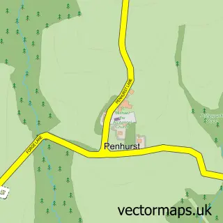
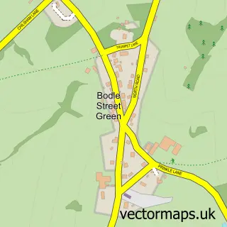
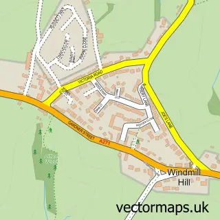
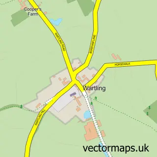
Nearby street map samples around Ninfield

More street maps in East Sussex
750 metre map area coverage
Boundary, postcode and point of interest information for the 750m x 750m rectangle centred on this sample map.
Boundaries containing map centre
Constituency: Bexhill and Battle Co Const
County: East Sussex County
District: Wealden District
Icb: NHS Surrey and Sussex ICB
Parish: Ninfield CP
Police Force: sussex
Postcode District: TN33
Postcode Sector: TN33 9
Ward: Herstmonceux & Pevensey Levels Ward
Nearby boundaries intersecting sample
No additional intersecting boundaries found.
Postcode coverage
POI category counts
Architect: 1
Arts And Crafts: 1
Campground: 1
Contractor: 1
Dance School: 1
Doctor: 1
Event Planning: 1
Farmers Market: 1
Financial Service: 1
Forestry Service: 1
Sample points of interest
- Elm Architectural Services
- Colour Splash Supplies
- Burning Heart River Camp
- Parker & Son
- Little Stars School of Dance
- Ninfield Surgery
- Frickley Lake
- Very Berry Farm
- Richmond Finance Services
- Foxhills Tree Services
- The Blacksmiths Inn
- Four Seasons Holistic Veterinary Care
Create a larger editable map of Ninfield
This sample shows only a 750 metre area. To create a larger map of Ninfield, use our map builder to choose your own coverage area, add titles and download editable SVG, PDF and PNG files.
Create a custom map of Ninfield