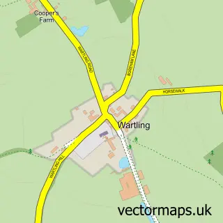
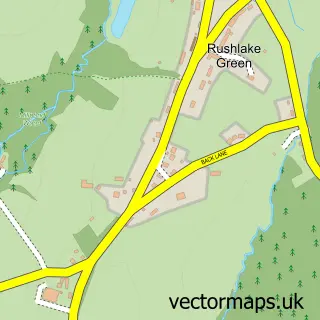
This Windmill Hill street map is a detailed vector street map covering a 750m x 750m area. Select a larger area to create and download your own vector street map of Windmill Hill.
The 750-metre map sample for Windmill Hill covers 193 mapped buildings and approximately 12.1 km of road detail, of which 15 named roads are named. The immediate area includes 1 GP surgery within 2 miles. The wider area around Windmill Hill features 5 tourism points of interest and 1 hotel. To create a larger or custom map of Windmill Hill, the map builder lets you define your own coverage area and download editable SVG, PDF and PNG files.
Create a larger editable map of Windmill Hill
Choose any area you need and generate a high-quality vector map instantly. Perfect for print, planning, design, business and personal use.

This Windmill Hill street map in East Sussex is available as downloadable SVG, PDF and PNG map files, or as a printed map for planning, business, display, education, local information and design work. You can also create a larger custom map area using the map selector.
What this Windmill Hill map sample shows
Windmill Hill lies within Wartling Cp parish, part of Herstmonceux & Pevensey Levels ward in the Wealden District local authority area. The postcode geography for this area includes the BN postcode area, the BN27 postcode district and the BN27 4 postcode sector. Residents fall under the Nhs Sussex Integrated Care Board for NHS services.
Local features near Windmill Hill
Within 2 milesAmenities and services in and around Windmill Hill.
Administrative and postcode information for Windmill Hill
The local authority covering Windmill Hill is Wealden District, within the county of East Sussex. The settlement lies within Herstmonceux & Pevensey Levels ward and Wartling Cp civil parish. The BN27 postcode district and BN27 4 postcode sector serve the immediate area. NHS provision in the area is delivered through East Sussex Healthcare Nhs Trust.
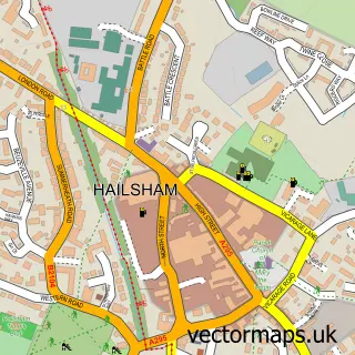
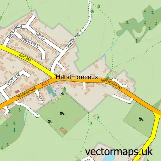
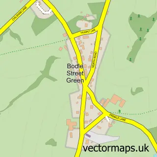
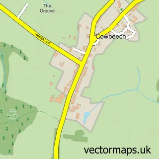
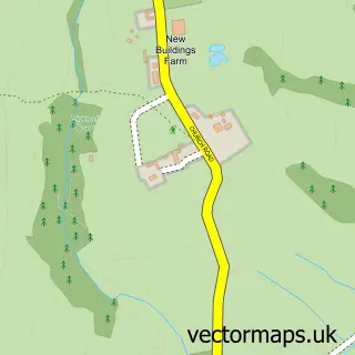
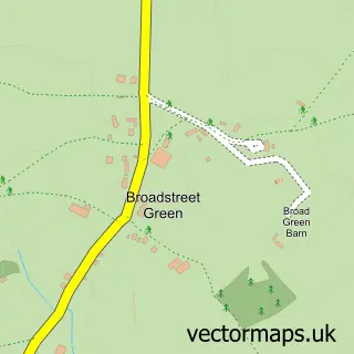
Nearby street map samples around Windmill Hill

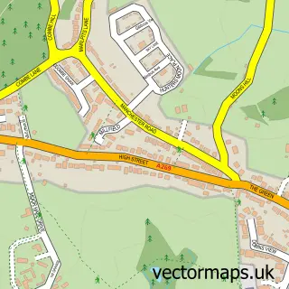
More street maps in East Sussex
750 metre map area coverage
Boundary, postcode and point of interest information for the 750m x 750m rectangle centred on this sample map.
Boundaries containing map centre
Constituency: Bexhill and Battle Co Const
County: East Sussex County
District: Wealden District
Icb: NHS Surrey and Sussex ICB
Parish: Herstmonceux CP
Police Force: sussex
Postcode District: BN27
Postcode Sector: BN27 4
Ward: Herstmonceux & Pevensey Levels Ward
Nearby boundaries intersecting sample
Parish: Wartling CP
Postcode coverage
POI category counts
Landmark And Historical Building: 3
Arts And Entertainment: 1
Campground: 1
Convenience Store: 1
Electrician: 1
Food Delivery Service: 1
Furniture Store: 1
Gardener: 1
Hotel: 1
Park: 1
Sample points of interest
- Delaware Pavilion Bexhill-on-Sea
- Orchard View Caravan Park
- Premier
- Redman Residential
- Evri ParcelShop
- Furniture That Fits
- R P Taylor
- The Horseshoe Inn
- The Windmill at Windmill Hill
- Windmill Hill
- Windmill Hill Mill, Herstmonceux
- Orchard View Park
Create a larger editable map of Windmill Hill
This sample shows only a 750 metre area. To create a larger map of Windmill Hill, use our map builder to choose your own coverage area, add titles and download editable SVG, PDF and PNG files.
Create a custom map of Windmill Hill