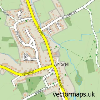
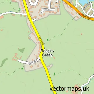
This Niton street map is a detailed vector street map covering a 750m x 750m area. Select a larger area to create and download your own vector street map of Niton.
The 750-metre map sample for Niton covers 342 mapped buildings and approximately 9.5 km of road detail, of which 24 named roads are named. The immediate area includes 1 school, 1 pub and 3 MOT stations within 2 miles. The wider area around Niton features 1 tourism point of interest and 1 food and drink venue. To create a larger or custom map of Niton, the map builder lets you define your own coverage area and download editable SVG, PDF and PNG files.
Create a larger editable map of Niton
Choose any area you need and generate a high-quality vector map instantly. Perfect for print, planning, design, business and personal use.

This Niton street map in Isle of Wight is available as downloadable SVG, PDF and PNG map files, or as a printed map for planning, business, display, education, local information and design work. You can also create a larger custom map area using the map selector.
What this Niton map sample shows
Niton lies within Niton And Whitwell Cp parish, part of Chale, Niton And Whitwell ward in the Isle Of Wight local authority area. The postcode geography for this area includes the PO postcode area, the PO38 postcode district and the PO38 2 postcode sector. Residents fall under the Nhs Hampshire And Isle Of Wight Integrated Care Board for NHS services.
Local features near Niton
Within 2 milesAmenities and services in and around Niton.
Administrative and postcode information for Niton
Niton lies within Niton And Whitwell Cp parish, part of Chale, Niton And Whitwell ward in the Isle Of Wight local authority area. The postcode geography for this area includes the PO postcode area, the PO38 postcode district and the PO38 2 postcode sector. Residents fall under the Nhs Hampshire And Isle Of Wight Integrated Care Board for NHS services.
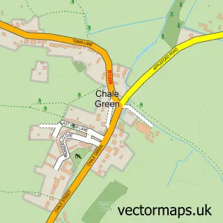
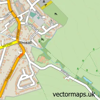
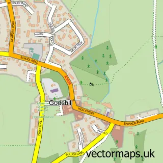
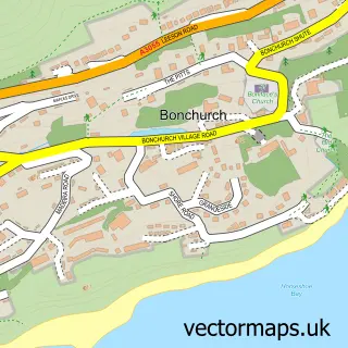
Nearby street map samples around Niton

More street maps in Isle of Wight
750 metre map area coverage
Boundary, postcode and point of interest information for the 750m x 750m rectangle centred on this sample map.
Boundaries containing map centre
Constituency: Isle of Wight West Co Const
District: Isle of Wight
Icb: NHS Hampshire and Isle of Wight ICB
Parish: Niton and Whitwell CP
Police Force: hampshire
Postcode District: PO38
Postcode Sector: PO38 2
Nearby boundaries intersecting sample
Postcode Sector: PO38 1
Postcode coverage
POI category counts
Pharmacy: 2
Post Office: 2
Arts And Crafts: 1
Bike Rentals: 1
Business: 1
Car Rental Agency: 1
Church Cathedral: 1
Community Center: 1
Doctor: 1
Driving School: 1
Sample points of interest
- Tregear Pottery
- Zoom EBIKE Hire
- Thomas Wyeth Building Contractor
- Westbrook Wedding Cars
- Church of St John the Baptist, Niton
- Niton Village Hall
- Dr South Wight Medical Practice
- AJB Driving Lessons
- Ayres Punchard Investment Management
- Norris Family Grocers-Nisa, Niton, Isle of Wight
- Zelies Beauty
- Pebbles Holiday Chalet
Create a larger editable map of Niton
This sample shows only a 750 metre area. To create a larger map of Niton, use our map builder to choose your own coverage area, add titles and download editable SVG, PDF and PNG files.
Create a custom map of Niton