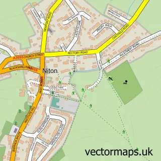
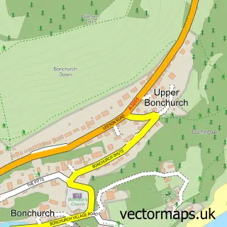
This Whitwell street map is a detailed vector street map covering a 750m x 750m area. Select a larger area to create and download your own vector street map of Whitwell.
The 750-metre map sample for Whitwell covers 294 mapped buildings and approximately 9.5 km of road detail, of which 13 named roads are named. The immediate area includes 1 pub and 1 MOT station, with 2 within 2 miles. The wider area around Whitwell features 1 tourism point of interest, 1 food and drink venue and 1 hotel. To create a larger or custom map of Whitwell, the map builder lets you define your own coverage area and download editable SVG, PDF and PNG files.
Create a larger editable map of Whitwell
Choose any area you need and generate a high-quality vector map instantly. Perfect for print, planning, design, business and personal use.

This Whitwell street map in Isle of Wight is available as downloadable SVG, PDF and PNG map files, or as a printed map for planning, business, display, education, local information and design work. You can also create a larger custom map area using the map selector.
What this Whitwell map sample shows
Whitwell lies within Niton And Whitwell Cp parish, part of Chale, Niton And Whitwell ward in the Isle Of Wight local authority area. The postcode geography for this area includes the PO postcode area, the PO38 postcode district and the PO38 2 postcode sector. Residents fall under the Nhs Hampshire And Isle Of Wight Integrated Care Board for NHS services.
Local features near Whitwell
Within 2 milesAmenities and services in and around Whitwell.
Administrative and postcode information for Whitwell
The local authority covering Whitwell is Isle Of Wight, within the county of Isle Of Wight. The settlement lies within Chale, Niton And Whitwell ward and Niton And Whitwell Cp civil parish. The PO38 postcode district and PO38 2 postcode sector serve the immediate area. NHS provision in the area is delivered through Isle Of Wight Nhs Trust.
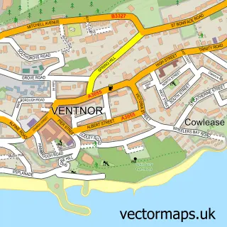
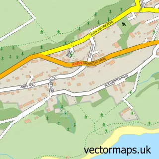
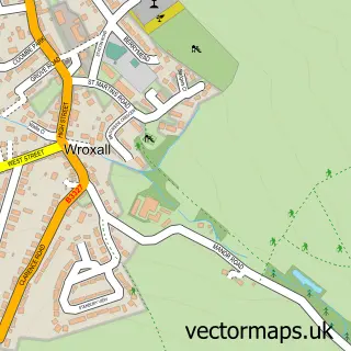
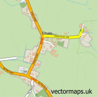
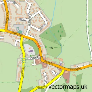
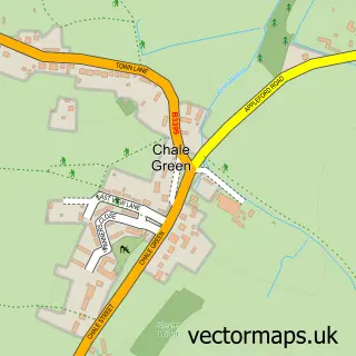
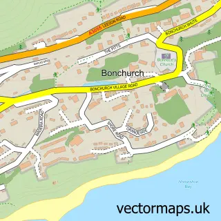
Nearby street map samples around Whitwell

More street maps in Isle of Wight
750 metre map area coverage
Boundary, postcode and point of interest information for the 750m x 750m rectangle centred on this sample map.
Boundaries containing map centre
Constituency: Isle of Wight West Co Const
District: Isle of Wight
Icb: NHS Hampshire and Isle of Wight ICB
Parish: Niton and Whitwell CP
Police Force: hampshire
Postcode District: PO38
Postcode Sector: PO38 2
Nearby boundaries intersecting sample
No additional intersecting boundaries found.
Postcode coverage
POI category counts
Anglican Church: 2
Bed And Breakfast: 2
Car Dealer: 2
Cottage: 2
Gas Station: 2
Antique Store: 1
Automotive Repair: 1
Bridal Shop: 1
Carpet Cleaning: 1
Community Center: 1
Sample points of interest
- Church of St Mary and St Rhadegund
- St Mary & St Rhadegund
- Kevin UK Delftware
- Niton Undercliff Garage
- Kingsmede B&B Isle of Wight
- Kingsmede Bed and Breakfast
- Bridal Treasures
- Ford UK
- Whitwell Garage
- First Aid Carpet Cleaning
- Whitwell Village Hall - Isle of Wight
- Post Office-Whitwell
Create a larger editable map of Whitwell
This sample shows only a 750 metre area. To create a larger map of Whitwell, use our map builder to choose your own coverage area, add titles and download editable SVG, PDF and PNG files.
Create a custom map of Whitwell