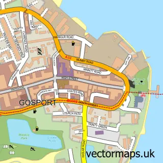
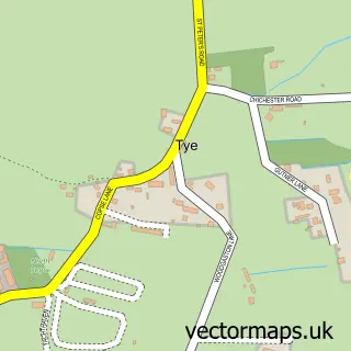
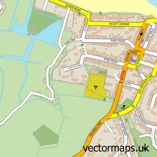
This Portsmouth street map is a detailed vector street map covering a 750m x 750m area. Select a larger area to create and download your own vector street map of Portsmouth.
The 750-metre map sample for Portsmouth covers 137 mapped buildings and approximately 22.3 km of road detail, of which 63 named roads are named. The immediate area includes 1 school, 1 railway station, 1 GP surgery, with 9 within 2 miles and 16 pubs among other local services. The wider area around Portsmouth features 9 tourism points of interest, 43 food and drink venues and 5 hotels. To create a larger or custom map of Portsmouth, the map builder lets you define your own coverage area and download editable SVG, PDF and PNG files.
Create a larger editable map of Portsmouth
Choose any area you need and generate a high-quality vector map instantly. Perfect for print, planning, design, business and personal use.

This Portsmouth street map in Hampshire is available as downloadable SVG, PDF and PNG map files, or as a printed map for planning, business, display, education, local information and design work. You can also create a larger custom map area using the map selector.
What this Portsmouth map sample shows
Portsmouth lies within City Of Portsmouth (B) parish, part of Charles Dickens ward in the City Of Portsmouth (B) local authority area. The postcode geography for this area includes the PO postcode area, the PO1 postcode district and the PO1 3 postcode sector. Residents fall under the Nhs Hampshire And Isle Of Wight Integrated Care Board for NHS services.
Local features near Portsmouth
Within 2 milesAmenities and services in and around Portsmouth.
Administrative and postcode information for Portsmouth
Portsmouth lies within City Of Portsmouth (B) parish, part of Charles Dickens ward in the City Of Portsmouth (B) local authority area. The postcode geography for this area includes the PO postcode area, the PO1 postcode district and the PO1 3 postcode sector. Residents fall under the Nhs Hampshire And Isle Of Wight Integrated Care Board for NHS services.
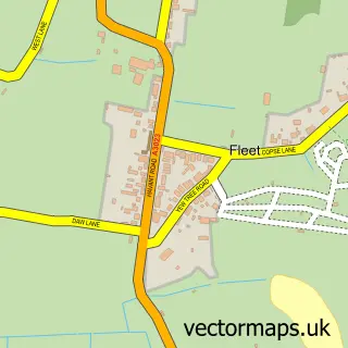
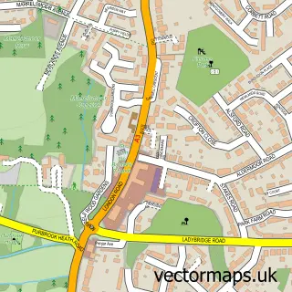
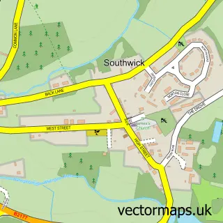
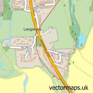
Nearby street map samples around Portsmouth
More street maps in Hampshire
750 metre map area coverage
Boundary, postcode and point of interest information for the 750m x 750m rectangle centred on this sample map.
Boundaries containing map centre
Constituency: Portsmouth South Boro Const
District: City of Portsmouth (B)
Icb: NHS Hampshire and Isle of Wight ICB
Police Force: hampshire
Postcode District: PO1
Postcode Sector: PO1 1
Ward: Charles Dickens Ward
Nearby boundaries intersecting sample
Postcode District: PO5
Postcode Sector: PO1 2, PO1 3, PO1 4, PO5 4
Ward: St. Thomas Ward
Postcode coverage
POI category counts
Clothing Store: 25
Employment Agencies: 18
Mobile Phone Store: 16
Pub: 16
Hair Salon: 14
Jewelry Store: 14
Fast Food Restaurant: 11
Gym: 11
Cafe: 10
Coffee Shop: 10
Sample points of interest
- Catherine House
- Jassi Halls
- Portsmouth Student Accommodations - Fountain Halls
- Unite Students - Margaret Rule Hall
- Energie Fitness For Women Portsmouth
- Love Empire
- Wiggle Strip Club
- Proven Concept
- Playland
- St Luke's Southsea
- BAE Systems
- Mountbatten Gallery
Create a larger editable map of Portsmouth
This sample shows only a 750 metre area. To create a larger map of Portsmouth, use our map builder to choose your own coverage area, add titles and download editable SVG, PDF and PNG files.
Create a custom map of Portsmouth