This Tye street map is a detailed vector street map covering a 750m x 750m area. Select a larger area to create and download your own vector street map of Tye.
The 750-metre map sample for Tye covers 88 mapped buildings and approximately 7.2 km of road detail, of which 5 named roads are named. The immediate area includes 2 GP surgeries within 2 miles and 3 MOT stations within 2 miles. The wider area around Tye features 2 tourism points of interest, 1 food and drink venue and 2 campsites within 2 miles. To create a larger or custom map of Tye, the map builder lets you define your own coverage area and download editable SVG, PDF and PNG files.
Create a larger editable map of Tye
Choose any area you need and generate a high-quality vector map instantly. Perfect for print, planning, design, business and personal use.

This Tye street map in Hampshire is available as downloadable SVG, PDF and PNG map files, or as a printed map for planning, business, display, education, local information and design work. You can also create a larger custom map area using the map selector.
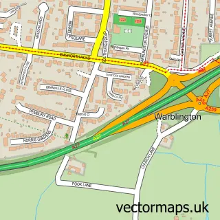
What this Tye map sample shows
Tye lies within Hampshire County parish, part of Hayling West ward in the Havant District (B) local authority area. The postcode geography for this area includes the PO postcode area, the PO11 postcode district and the PO11 0 postcode sector. Residents fall under the Nhs Hampshire And Isle Of Wight Integrated Care Board for NHS services.
Local features near Tye
Within 2 milesAmenities and services in and around Tye.
Administrative and postcode information for Tye
Tye lies within Hampshire County parish, part of Hayling West ward in the Havant District (B) local authority area. The postcode geography for this area includes the PO postcode area, the PO11 postcode district and the PO11 0 postcode sector. Residents fall under the Nhs Hampshire And Isle Of Wight Integrated Care Board for NHS services.
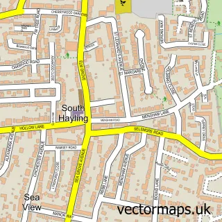
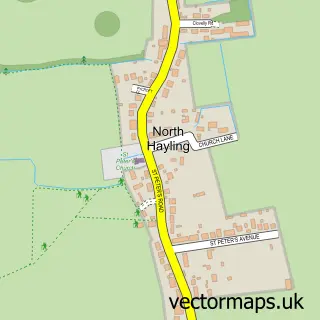
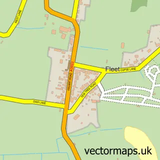
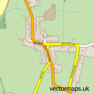
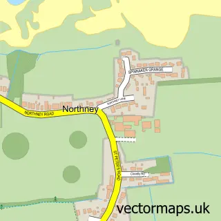
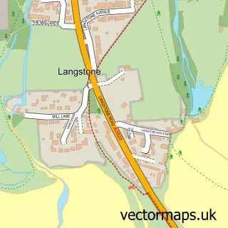
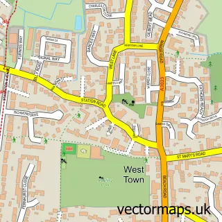
Nearby street map samples around Tye

More street maps in Hampshire
750 metre map area coverage
Boundary, postcode and point of interest information for the 750m x 750m rectangle centred on this sample map.
Boundaries containing map centre
Constituency: Havant Boro Const
County: Hampshire County
District: Havant District (B)
Icb: NHS Hampshire and Isle of Wight ICB
Police Force: hampshire
Postcode District: PO11
Postcode Sector: PO11 0
Ward: Hayling West Ward
Nearby boundaries intersecting sample
No additional intersecting boundaries found.
Postcode coverage
POI category counts
Auto Body Shop: 2
Auto Customization: 1
Building Supply Store: 1
Campground: 1
Construction Services: 1
Farm: 1
Nursery And Gardening: 1
Park: 1
Restaurant: 1
Sample points of interest
- Prep N Paint
- T.A. Blake Body Repairs
- KC Customs Portsmouth
- Drive Pride
- St Hermans Estate Co Limited
- P R Newell Scaffolding
- Sam's Sunflowers
- Meadow Farm Plants Direct
- Lower Tye Farm Caravan Park, Hayling Island
- Kilmelford Yacht Haven
Create a larger editable map of Tye
This sample shows only a 750 metre area. To create a larger map of Tye, use our map builder to choose your own coverage area, add titles and download editable SVG, PDF and PNG files.
Create a custom map of Tye