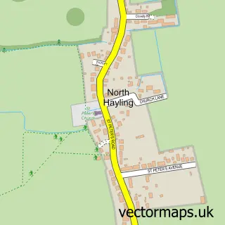
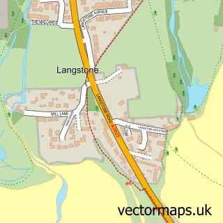
This Mengham street map is a detailed vector street map covering a 750m x 750m area. Select a larger area to create and download your own vector street map of Mengham.
The 750-metre map sample for Mengham covers 678 mapped buildings and approximately 18.9 km of road detail, of which 40 named roads are named. The immediate area includes 2 GP surgeries and 6 MOT stations within 2 miles. The wider area around Mengham features 2 tourism points of interest, 3 food and drink venues and 2 campsites within 2 miles. To create a larger or custom map of Mengham, the map builder lets you define your own coverage area and download editable SVG, PDF and PNG files.
Create a larger editable map of Mengham
Choose any area you need and generate a high-quality vector map instantly. Perfect for print, planning, design, business and personal use.

This Mengham street map in Hampshire is available as downloadable SVG, PDF and PNG map files, or as a printed map for planning, business, display, education, local information and design work. You can also create a larger custom map area using the map selector.
What this Mengham map sample shows
Mengham lies within Hampshire County parish, part of Hayling West ward in the Havant District (B) local authority area. The postcode geography for this area includes the PO postcode area, the PO11 postcode district and the PO11 0 postcode sector. Residents fall under the Nhs Hampshire And Isle Of Wight Integrated Care Board for NHS services.
Local features near Mengham
Within 2 milesAmenities and services in and around Mengham.
Administrative and postcode information for Mengham
Mengham lies within Hampshire County parish, part of Hayling West ward in the Havant District (B) local authority area. The postcode geography for this area includes the PO postcode area, the PO11 postcode district and the PO11 0 postcode sector. Residents fall under the Nhs Hampshire And Isle Of Wight Integrated Care Board for NHS services.
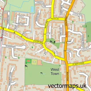
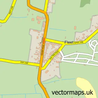
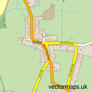
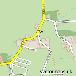
Nearby street map samples around Mengham

More street maps in Hampshire
750 metre map area coverage
Boundary, postcode and point of interest information for the 750m x 750m rectangle centred on this sample map.
Boundaries containing map centre
Constituency: Havant Boro Const
County: Hampshire County
District: Havant District (B)
Icb: NHS Hampshire and Isle of Wight ICB
Police Force: hampshire
Postcode District: PO11
Postcode Sector: PO11 9
Ward: Hayling East Ward
Nearby boundaries intersecting sample
Ward: Hayling West Ward
Postcode coverage
POI category counts
Charity Organization: 5
Banks: 4
Beauty Salon: 4
Church Cathedral: 4
Doctor: 4
Flowers And Gifts Shop: 4
Landscaping: 4
Naturopathic Holistic: 4
Antique Store: 3
Automotive Repair: 3
Sample points of interest
- C J Driscoll Chartered Accountants & Tax Advisers
- Sibur Business Services Ltd.
- Island Acutherapy & Massage Centre
- Jan Hartfree Hypnotherapy
- Wagg 'n' Heels
- AllSorts Antiques LTD
- Allsorts Antiques & Collectables
- Sue Ryder
- Community Integrated Care
- The Cooperative Food Hayling Island - Selsmore Road
- IBM Autos
- Simon B Rigden Mobile Mechanic
Create a larger editable map of Mengham
This sample shows only a 750 metre area. To create a larger map of Mengham, use our map builder to choose your own coverage area, add titles and download editable SVG, PDF and PNG files.
Create a custom map of Mengham