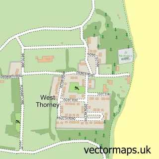
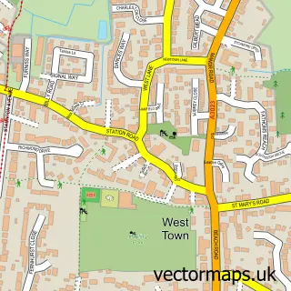
This North Hayling street map is a detailed vector street map covering a 750m x 750m area. Select a larger area to create and download your own vector street map of North Hayling.
The 750-metre map sample for North Hayling covers 142 mapped buildings and approximately 3.9 km of road detail, of which 5 named roads are named. The immediate area includes 1 GP surgery within 2 miles and 5 MOT stations within 2 miles. The wider area around North Hayling features 1 campsite within 2 miles. To create a larger or custom map of North Hayling, the map builder lets you define your own coverage area and download editable SVG, PDF and PNG files.
Create a larger editable map of North Hayling
Choose any area you need and generate a high-quality vector map instantly. Perfect for print, planning, design, business and personal use.

This North Hayling street map in Hampshire is available as downloadable SVG, PDF and PNG map files, or as a printed map for planning, business, display, education, local information and design work. You can also create a larger custom map area using the map selector.
What this North Hayling map sample shows
North Hayling lies within Hampshire County parish, part of Hayling East ward in the Havant District (B) local authority area. The postcode geography for this area includes the PO postcode area, the PO11 postcode district and the PO11 0 postcode sector. Residents fall under the Nhs Hampshire And Isle Of Wight Integrated Care Board for NHS services.
Local features near North Hayling
Within 2 milesAmenities and services in and around North Hayling.
Administrative and postcode information for North Hayling
North Hayling lies within Hampshire County parish, part of Hayling East ward in the Havant District (B) local authority area. The postcode geography for this area includes the PO postcode area, the PO11 postcode district and the PO11 0 postcode sector. Residents fall under the Nhs Hampshire And Isle Of Wight Integrated Care Board for NHS services.
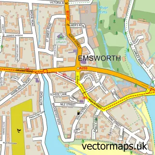
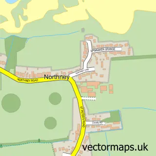
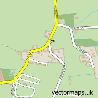
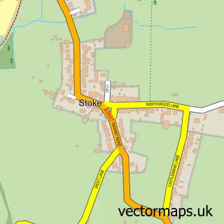
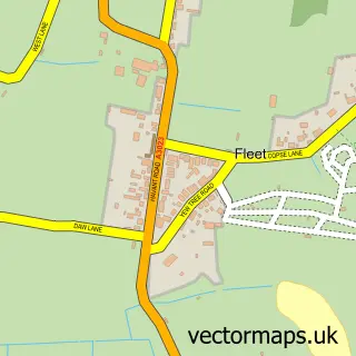
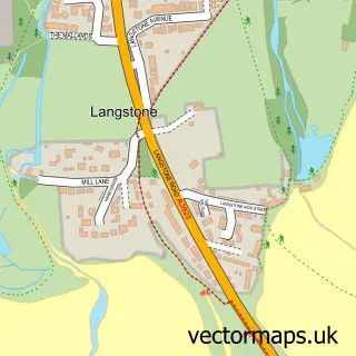
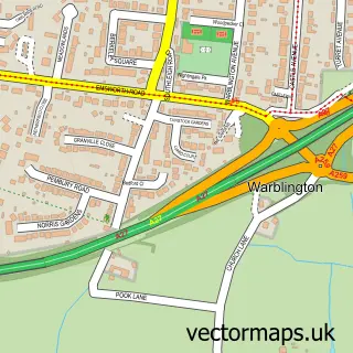
Nearby street map samples around North Hayling

More street maps in Hampshire
750 metre map area coverage
Boundary, postcode and point of interest information for the 750m x 750m rectangle centred on this sample map.
Boundaries containing map centre
Constituency: Havant Boro Const
County: Hampshire County
District: Havant District (B)
Icb: NHS Hampshire and Isle of Wight ICB
Police Force: hampshire
Postcode District: PO11
Postcode Sector: PO11 0
Ward: Hayling West Ward
Nearby boundaries intersecting sample
No additional intersecting boundaries found.
Postcode coverage
POI category counts
Advertising Agency: 2
Architect: 1
Church Cathedral: 1
Community Center: 1
Cottage: 1
Domestic Business And Trade Organizations: 1
Home Health Care: 1
Landscape Architect: 1
Pet Store: 1
Sample points of interest
- Bob Ede Films & Television
- Ede Bob Films & Television
- Hebden Design Studio
- St Peter's Church
- North Hayling Recreation Hall
- The Coach House
- Guild of Professional English Butlers Ltd.
- IGS Fencing
- Hampshire Tree Services
- Aviary Accessories
Create a larger editable map of North Hayling
This sample shows only a 750 metre area. To create a larger map of North Hayling, use our map builder to choose your own coverage area, add titles and download editable SVG, PDF and PNG files.
Create a custom map of North Hayling