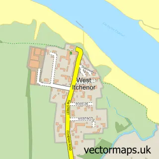
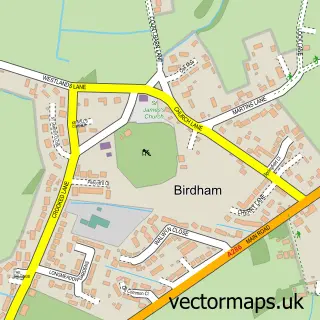
This West Wittering street map is a detailed vector street map covering a 750m x 750m area. Select a larger area to create and download your own vector street map of West Wittering.
The 750-metre map sample for West Wittering covers 409 mapped buildings and approximately 13.5 km of road detail, of which 23 named roads are named. The immediate area includes 1 school, 1 GP surgery within 2 miles, 1 pub and 2 MOT stations within 2 miles. The wider area around West Wittering features 1 tourism point of interest, 4 food and drink venues and 2 campsites within 2 miles. To create a larger or custom map of West Wittering, the map builder lets you define your own coverage area and download editable SVG, PDF and PNG files.
Create a larger editable map of West Wittering
Choose any area you need and generate a high-quality vector map instantly. Perfect for print, planning, design, business and personal use.

This West Wittering street map in West Sussex is available as downloadable SVG, PDF and PNG map files, or as a printed map for planning, business, display, education, local information and design work. You can also create a larger custom map area using the map selector.
What this West Wittering map sample shows
West Wittering lies within West Wittering Cp parish, part of The Witterings ward in the Chichester District local authority area. The postcode geography for this area includes the PO postcode area, the PO20 postcode district and the PO20 8 postcode sector. Residents fall under the Nhs Sussex Integrated Care Board for NHS services.
Local features near West Wittering
Within 2 milesAmenities and services in and around West Wittering.
Administrative and postcode information for West Wittering
West Wittering lies within West Wittering Cp parish, part of The Witterings ward in the Chichester District local authority area. The postcode geography for this area includes the PO postcode area, the PO20 postcode district and the PO20 8 postcode sector. Residents fall under the Nhs Sussex Integrated Care Board for NHS services.
Nearby street map samples around West Wittering

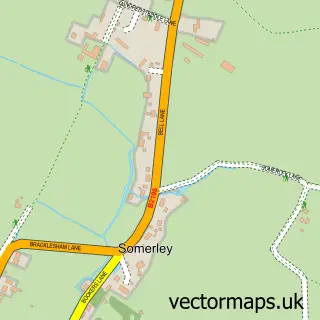
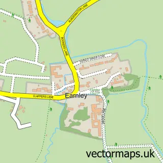
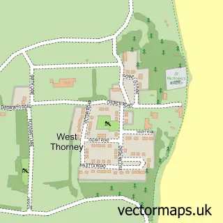
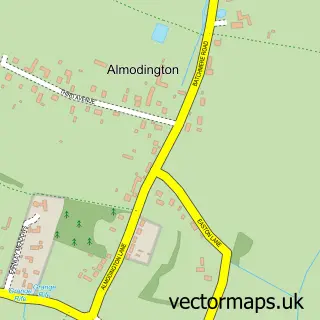
More street maps in West Sussex
750 metre map area coverage
Boundary, postcode and point of interest information for the 750m x 750m rectangle centred on this sample map.
Boundaries containing map centre
Constituency: Chichester Co Const
County: West Sussex County
District: Chichester District
Icb: NHS Surrey and Sussex ICB
Parish: West Wittering CP
Police Force: sussex
Postcode District: PO20
Postcode Sector: PO20 8
Ward: The Witterings Ward
Nearby boundaries intersecting sample
No additional intersecting boundaries found.
Postcode coverage
POI category counts
Church Cathedral: 3
Convenience Store: 2
Flowers And Gifts Shop: 2
Anglican Church: 1
Art Gallery: 1
Automotive Repair: 1
Beach: 1
Bed And Breakfast: 1
Butcher Shop: 1
Cafe: 1
Sample points of interest
- St Peter & St Paul
- The little art gallery
- Warnett Racing Services
- West Wittering Estate
- The Beach House
- Tessier Family Butchers
- West Wittering Beach Cafe
- Chichester Harbour Churches
- St Peter and St Paul Church
- St. Peter and St. Paul's Parish Church
- The Landing
- All Seasons Builders and Roofers
Create a larger editable map of West Wittering
This sample shows only a 750 metre area. To create a larger map of West Wittering, use our map builder to choose your own coverage area, add titles and download editable SVG, PDF and PNG files.
Create a custom map of West Wittering