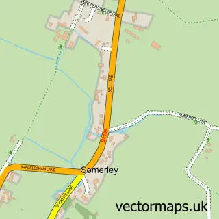
This Bracklesham street map is a detailed vector street map covering a 750m x 750m area. Select a larger area to create and download your own vector street map of Bracklesham.
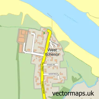
The 750-metre map sample for Bracklesham covers 547 mapped buildings and approximately 14.3 km of road detail, of which 32 named roads are named. The immediate area includes 1 GP surgery within 2 miles, 1 pub and 1 MOT station, with 4 within 2 miles. The wider area around Bracklesham features 3 tourism points of interest, 4 food and drink venues and 2 campsites within 2 miles. To create a larger or custom map of Bracklesham, the map builder lets you define your own coverage area and download editable SVG, PDF and PNG files.
Create a larger editable map of Bracklesham
Choose any area you need and generate a high-quality vector map instantly. Perfect for print, planning, design, business and personal use.

This Bracklesham street map in West Sussex is available as downloadable SVG, PDF and PNG map files, or as a printed map for planning, business, display, education, local information and design work. You can also create a larger custom map area using the map selector.
What this Bracklesham map sample shows
Bracklesham lies within Earnley Cp parish, part of The Witterings ward in the Chichester District local authority area. The postcode geography for this area includes the PO postcode area, the PO20 postcode district and the PO20 7 postcode sector. Residents fall under the Nhs Sussex Integrated Care Board for NHS services.
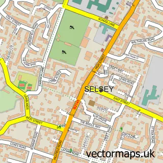
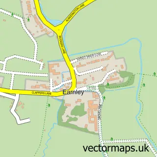
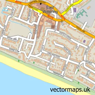
Local features near Bracklesham
Within 2 milesAmenities and services in and around Bracklesham.
Administrative and postcode information for Bracklesham
Bracklesham lies within Earnley Cp parish, part of The Witterings ward in the Chichester District local authority area. The postcode geography for this area includes the PO postcode area, the PO20 postcode district and the PO20 7 postcode sector. Residents fall under the Nhs Sussex Integrated Care Board for NHS services.
Nearby street map samples around Bracklesham

More street maps in West Sussex
750 metre map area coverage
Boundary, postcode and point of interest information for the 750m x 750m rectangle centred on this sample map.
Boundaries containing map centre
Constituency: Chichester Co Const
County: West Sussex County
District: Chichester District
Icb: NHS Surrey and Sussex ICB
Parish: East Wittering CP
Police Force: sussex
Postcode District: PO20
Postcode Sector: PO20 8
Ward: The Witterings Ward
Nearby boundaries intersecting sample
No additional intersecting boundaries found.
Postcode coverage
POI category counts
British Restaurant: 3
Professional Services: 3
Campground: 2
Carpet Cleaning: 2
Coffee Shop: 2
Convenience Store: 2
Outdoor Furniture Store: 2
Used Car Dealer: 2
Animal Shelter: 1
Atms: 1
Sample points of interest
- Harmony Cattery
- The Cooperative Food East Wittering, Bracklesham Lane
- GetKiteboarding Kitesurfing School
- Bracklesham Garage
- Newton's Bakery
- The Color Bar
- Bracklesham Bay
- Complete worx cabin
- Sea Horses Self-Catering Accommodation
- Little Monster By The Bay
- Billys on the Beach Bracklesham
- Cliffords Cottage
Create a larger editable map of Bracklesham
This sample shows only a 750 metre area. To create a larger map of Bracklesham, use our map builder to choose your own coverage area, add titles and download editable SVG, PDF and PNG files.
Create a custom map of Bracklesham