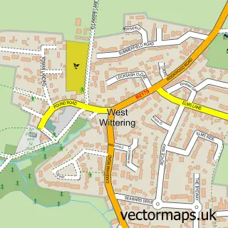
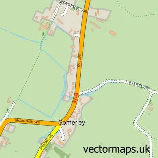
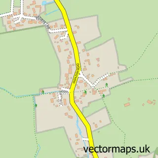
This East Wittering street map is a detailed vector street map covering a 750m x 750m area. Select a larger area to create and download your own vector street map of East Wittering.
The 750-metre map sample for East Wittering covers 492 mapped buildings and approximately 15.1 km of road detail, of which 29 named roads are named. The immediate area includes 1 school, 1 GP surgery, 3 pubs and 1 MOT station, with 3 within 2 miles. The wider area around East Wittering features 9 food and drink venues, 2 hotels and 2 campsites within 2 miles. To create a larger or custom map of East Wittering, the map builder lets you define your own coverage area and download editable SVG, PDF and PNG files.
Create a larger editable map of East Wittering
Choose any area you need and generate a high-quality vector map instantly. Perfect for print, planning, design, business and personal use.

This East Wittering street map in West Sussex is available as downloadable SVG, PDF and PNG map files, or as a printed map for planning, business, display, education, local information and design work. You can also create a larger custom map area using the map selector.
What this East Wittering map sample shows
East Wittering lies within West Wittering Cp parish, part of The Witterings ward in the Chichester District local authority area. The postcode geography for this area includes the PO postcode area, the PO20 postcode district and the PO20 8 postcode sector. Residents fall under the Nhs Sussex Integrated Care Board for NHS services.
Local features near East Wittering
Within 2 milesAmenities and services in and around East Wittering.
Administrative and postcode information for East Wittering
The local authority covering East Wittering is Chichester District, within the county of West Sussex. The settlement lies within The Witterings ward and West Wittering Cp civil parish. The PO20 postcode district and PO20 8 postcode sector serve the immediate area. NHS provision in the area is delivered through University Hospitals Sussex Nhs Foundation Trust.
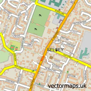
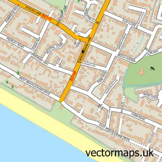
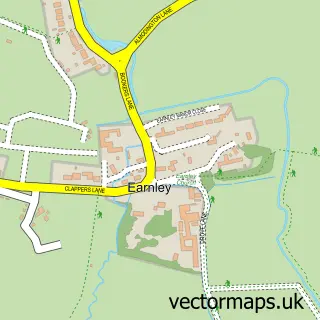
Nearby street map samples around East Wittering

More street maps in West Sussex
750 metre map area coverage
Boundary, postcode and point of interest information for the 750m x 750m rectangle centred on this sample map.
Boundaries containing map centre
Constituency: Chichester Co Const
County: West Sussex County
District: Chichester District
Icb: NHS Surrey and Sussex ICB
Parish: East Wittering CP
Police Force: sussex
Postcode District: PO20
Postcode Sector: PO20 8
Ward: The Witterings Ward
Nearby boundaries intersecting sample
Parish: West Wittering CP
Postcode coverage
POI category counts
Flowers And Gifts Shop: 5
Real Estate Agent: 5
Beauty Salon: 4
Indian Restaurant: 4
Bakery: 3
Barber: 3
Beach: 3
Cafe: 3
Chinese Restaurant: 3
Financial Service: 3
Sample points of interest
- Hubbl. Marketing Ltd.
- St Anne's East Wittering
- The Doodle Den Caffe
- The Southern Co-Operative East Wittering Cakeham Road, Cakeham Road
- Securicare Systems
- Shore Financial Services
- Shore Road Garage
- Brownie Bay UK
- Knead Bakery
- Splits
- Lloyds Bank
- Barclays
Create a larger editable map of East Wittering
This sample shows only a 750 metre area. To create a larger map of East Wittering, use our map builder to choose your own coverage area, add titles and download editable SVG, PDF and PNG files.
Create a custom map of East Wittering