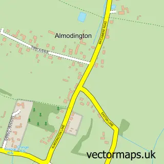
This West Itchenor street map is a detailed vector street map covering a 750m x 750m area. Select a larger area to create and download your own vector street map of West Itchenor.
The 750-metre map sample for West Itchenor covers 105 mapped buildings and approximately 2.6 km of road detail, of which 5 named roads are named. The immediate area includes 1 pub and 1 MOT station within 2 miles. The wider area around West Itchenor features 1 tourism point of interest and 3 food and drink venues. To create a larger or custom map of West Itchenor, the map builder lets you define your own coverage area and download editable SVG, PDF and PNG files.
Create a larger editable map of West Itchenor
Choose any area you need and generate a high-quality vector map instantly. Perfect for print, planning, design, business and personal use.

This West Itchenor street map in West Sussex is available as downloadable SVG, PDF and PNG map files, or as a printed map for planning, business, display, education, local information and design work. You can also create a larger custom map area using the map selector.
What this West Itchenor map sample shows
West Itchenor lies within West Itchenor Cp parish, part of The Witterings ward in the Chichester District local authority area. The postcode geography for this area includes the PO postcode area, the PO20 postcode district and the PO20 7 postcode sector. Residents fall under the Nhs Sussex Integrated Care Board for NHS services.
Local features near West Itchenor
Within 2 milesAmenities and services in and around West Itchenor.
Administrative and postcode information for West Itchenor
West Itchenor lies within West Itchenor Cp parish, part of The Witterings ward in the Chichester District local authority area. The postcode geography for this area includes the PO postcode area, the PO20 postcode district and the PO20 7 postcode sector. Residents fall under the Nhs Sussex Integrated Care Board for NHS services.
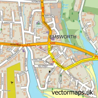
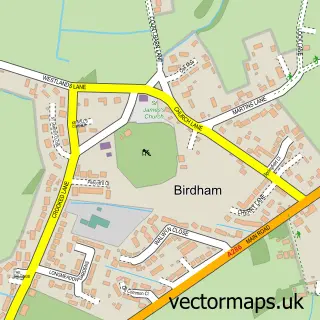
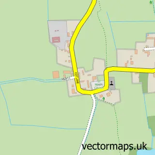
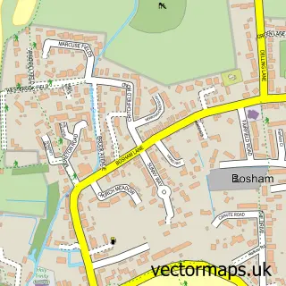
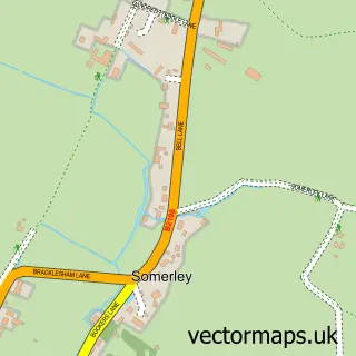
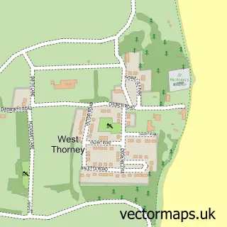
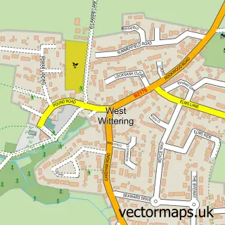
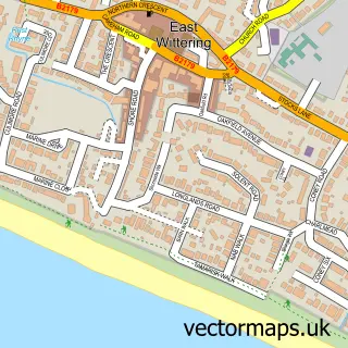
Nearby street map samples around West Itchenor

More street maps in West Sussex
750 metre map area coverage
Boundary, postcode and point of interest information for the 750m x 750m rectangle centred on this sample map.
Boundaries containing map centre
Constituency: Chichester Co Const
County: West Sussex County
District: Chichester District
Icb: NHS Surrey and Sussex ICB
Parish: West Itchenor CP
Police Force: sussex
Postcode District: PO20
Postcode Sector: PO20 7
Ward: The Witterings Ward
Nearby boundaries intersecting sample
Parish: Bosham CP
Ward: Harbour Villages Ward
Postcode coverage
POI category counts
Boat Rental And Training: 2
Boat Service And Repair: 2
Cafe: 2
Boat Tours: 1
Event Planning: 1
Ferry Boat Company: 1
Marina: 1
Metal Fabricator: 1
Park: 1
Pub: 1
Sample points of interest
- Itchenor Boat Hire
- Itchenor Boat Hire
- Haines Boatyard
- Northshore Yacht Services
- Chichester Harbour Water Tours
- The Quarterdeck Cafe
- The Quarterdeck
- Salty Dog Game Fishing
- Itchenor Ferry
- Northshore Boatyard
- Orca Metalcraft
- Solar Heritage, Itchenor
Create a larger editable map of West Itchenor
This sample shows only a 750 metre area. To create a larger map of West Itchenor, use our map builder to choose your own coverage area, add titles and download editable SVG, PDF and PNG files.
Create a custom map of West Itchenor