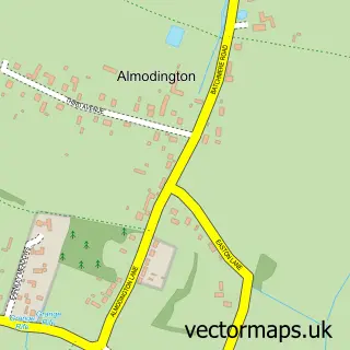
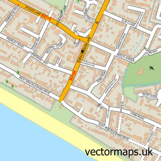
This Highleigh street map is a detailed vector street map covering a 750m x 750m area. Select a larger area to create and download your own vector street map of Highleigh.
The 750-metre map sample for Highleigh covers 130 mapped buildings and approximately 3.1 km of road detail, of which 4 named roads are named. The immediate area includes 4 MOT stations within 2 miles. To create a larger or custom map of Highleigh, the map builder lets you define your own coverage area and download editable SVG, PDF and PNG files.
Create a larger editable map of Highleigh
Choose any area you need and generate a high-quality vector map instantly. Perfect for print, planning, design, business and personal use.

This Highleigh street map in West Sussex is available as downloadable SVG, PDF and PNG map files, or as a printed map for planning, business, display, education, local information and design work. You can also create a larger custom map area using the map selector.
What this Highleigh map sample shows
Highleigh lies within Sidlesham Cp parish, part of Sidlesham With Selsey North ward in the Chichester District local authority area. The postcode geography for this area includes the PO postcode area, the PO20 postcode district and the PO20 7 postcode sector. Residents fall under the Nhs Sussex Integrated Care Board for NHS services.
Local features near Highleigh
Within 2 milesAmenities and services in and around Highleigh.
Administrative and postcode information for Highleigh
Highleigh lies within Sidlesham Cp parish, part of Sidlesham With Selsey North ward in the Chichester District local authority area. The postcode geography for this area includes the PO postcode area, the PO20 postcode district and the PO20 7 postcode sector. Residents fall under the Nhs Sussex Integrated Care Board for NHS services.
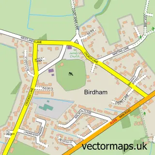
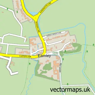
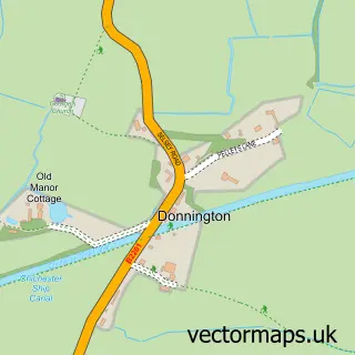
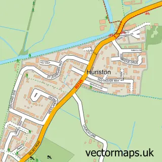
Nearby street map samples around Highleigh
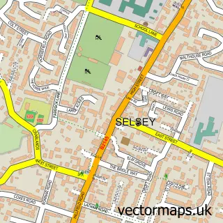

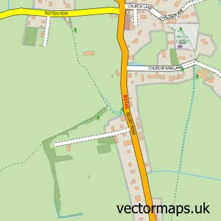
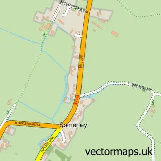
More street maps in West Sussex
750 metre map area coverage
Boundary, postcode and point of interest information for the 750m x 750m rectangle centred on this sample map.
Boundaries containing map centre
Constituency: Chichester Co Const
County: West Sussex County
District: Chichester District
Icb: NHS Surrey and Sussex ICB
Parish: Sidlesham CP
Police Force: sussex
Postcode District: PO20
Postcode Sector: PO20 7
Ward: Sidlesham with Selsey North Ward
Nearby boundaries intersecting sample
No additional intersecting boundaries found.
Postcode coverage
POI category counts
Arts And Crafts: 1
Automotive Repair: 1
Holiday Rental Home: 1
Interior Design: 1
Pet Boarding: 1
Pet Services: 1
Reflexology: 1
Veterinarian: 1
Sample points of interest
- Handmade4u
- Tony Partridge Autos
- Orchard Croft Lodge
- ThirtyC Yacht Design
- Chichester Dog Sitters
- Treetops Cattery
- Zen Shen Therapies
- The Old Gardens Animal Rescue Centre
Create a larger editable map of Highleigh
This sample shows only a 750 metre area. To create a larger map of Highleigh, use our map builder to choose your own coverage area, add titles and download editable SVG, PDF and PNG files.
Create a custom map of Highleigh