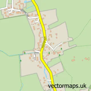
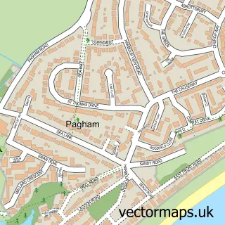
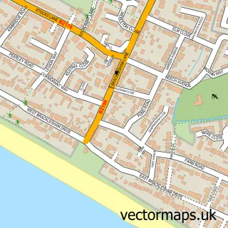
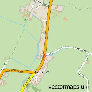
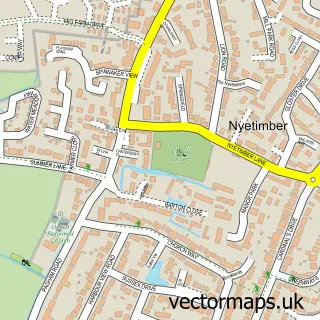
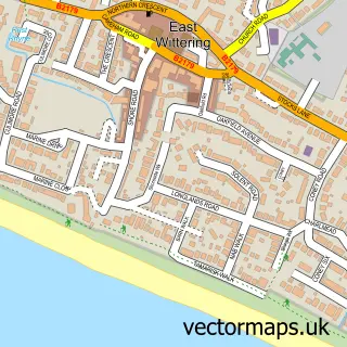
This Selsey street map is a detailed vector street map covering a 750m x 750m area. Select a larger area to create and download your own vector street map of Selsey.
The 750-metre map sample for Selsey covers 605 mapped buildings and approximately 16.6 km of road detail, of which 50 named roads are named. The immediate area includes 2 schools, 1 GP surgery, 5 pubs and 2 MOT stations. The wider area around Selsey features 1 tourism point of interest, 19 food and drink venues and 1 campsite within 2 miles. To create a larger or custom map of Selsey, the map builder lets you define your own coverage area and download editable SVG, PDF and PNG files.
Create a larger editable map of Selsey
Choose any area you need and generate a high-quality vector map instantly. Perfect for print, planning, design, business and personal use.

This Selsey street map in West Sussex is available as downloadable SVG, PDF and PNG map files, or as a printed map for planning, business, display, education, local information and design work. You can also create a larger custom map area using the map selector.
What this Selsey map sample shows
Selsey lies within Selsey Cp parish, part of Selsey South ward in the Chichester District local authority area. The postcode geography for this area includes the PO postcode area, the PO20 postcode district and the PO20 0 postcode sector. Residents fall under the Nhs Sussex Integrated Care Board for NHS services.
Local features near Selsey
Within 2 milesAmenities and services in and around Selsey.
Administrative and postcode information for Selsey
The local authority covering Selsey is Chichester District, within the county of West Sussex. The settlement lies within Selsey South ward and Selsey Cp civil parish. The PO20 postcode district and PO20 0 postcode sector serve the immediate area. NHS provision in the area is delivered through University Hospitals Sussex Nhs Foundation Trust.
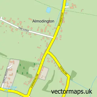
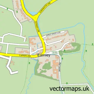
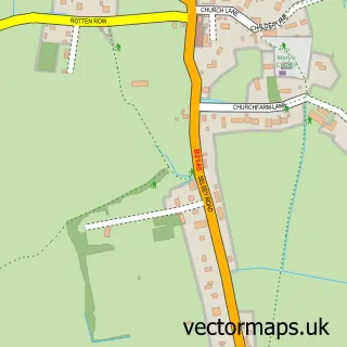
Nearby street map samples around Selsey

More street maps in West Sussex
750 metre map area coverage
Boundary, postcode and point of interest information for the 750m x 750m rectangle centred on this sample map.
Boundaries containing map centre
Constituency: Chichester Co Const
County: West Sussex County
District: Chichester District
Icb: NHS Surrey and Sussex ICB
Parish: Selsey CP
Police Force: sussex
Postcode District: PO20
Postcode Sector: PO20 0
Ward: Selsey South Ward
Nearby boundaries intersecting sample
Postcode Sector: PO20 9
Postcode coverage
POI category counts
Cafe: 6
Beauty Salon: 5
Convenience Store: 5
Flowers And Gifts Shop: 5
Pub: 5
Real Estate Agent: 5
Restaurant: 5
Barber: 4
Charity Organization: 4
Elementary School: 4
Sample points of interest
- Peek & Co
- Crablands Bowling & Tennis Club
- Star Advertising Products
- Penny’s American Diner
- St Wilfrid's Hospice Shop
- Seal Island Wools
- Chisel Pottery
- The Cooperative Food Selsey - High Street, Selsey
- The Southern Co-Operative Selsey High Street, Selsey
- Aspect Electrical
- Frost Electrical Contractors
- Dave Lee Motors
Create a larger editable map of Selsey
This sample shows only a 750 metre area. To create a larger map of Selsey, use our map builder to choose your own coverage area, add titles and download editable SVG, PDF and PNG files.
Create a custom map of Selsey