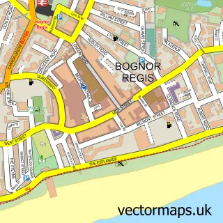
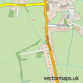
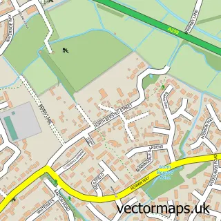
This Pagham street map is a detailed vector street map covering a 750m x 750m area. Select a larger area to create and download your own vector street map of Pagham.
The 750-metre map sample for Pagham covers 489 mapped buildings and approximately 17.0 km of road detail, of which 38 named roads are named. The immediate area includes 1 GP surgery within 2 miles and 1 MOT station, with 2 within 2 miles. The wider area around Pagham features 3 food and drink venues. To create a larger or custom map of Pagham, the map builder lets you define your own coverage area and download editable SVG, PDF and PNG files.
Create a larger editable map of Pagham
Choose any area you need and generate a high-quality vector map instantly. Perfect for print, planning, design, business and personal use.

This Pagham street map in West Sussex is available as downloadable SVG, PDF and PNG map files, or as a printed map for planning, business, display, education, local information and design work. You can also create a larger custom map area using the map selector.
What this Pagham map sample shows
Pagham lies within Pagham Cp parish, part of Pagham ward in the Arun District local authority area. The postcode geography for this area includes the PO postcode area, the PO21 postcode district and the PO21 4 postcode sector. Residents fall under the Nhs Sussex Integrated Care Board for NHS services.
Local features near Pagham
Within 2 milesAmenities and services in and around Pagham.
Administrative and postcode information for Pagham
Pagham lies within Pagham Cp parish, part of Pagham ward in the Arun District local authority area. The postcode geography for this area includes the PO postcode area, the PO21 postcode district and the PO21 4 postcode sector. Residents fall under the Nhs Sussex Integrated Care Board for NHS services.
Nearby street map samples around Pagham

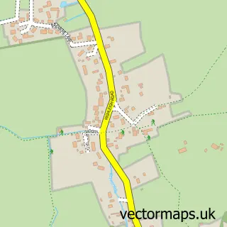
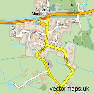
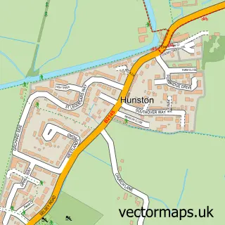
More street maps in West Sussex
750 metre map area coverage
Boundary, postcode and point of interest information for the 750m x 750m rectangle centred on this sample map.
Boundaries containing map centre
Constituency: Chichester Co Const
County: West Sussex County
District: Arun District
Icb: NHS Surrey and Sussex ICB
Parish: Pagham CP
Police Force: sussex
Postcode District: PO21
Postcode Sector: PO21 4
Ward: Pagham Ward
Nearby boundaries intersecting sample
No additional intersecting boundaries found.
Postcode coverage
POI category counts
Hair Salon: 3
Barber: 2
Building Supply Store: 2
Convenience Store: 2
Dentist: 2
Funeral Services And Cemeteries: 2
Holiday Rental Home: 2
Retail: 2
Sports Club And League: 2
Advertising Agency: 1
Sample points of interest
- Coastal View Marketing
- The Family Fun Centre
- Spice Paradise
- The Cooperative Food Pagham - The Parade, Pagham
- Pagham Service Station
- A1 Barber Shop & Ladies Salon
- Alfred Benjamin
- The Beach House
- Tomlins
- The Small Fry
- Orbital Technical Services Ltd
- Warmer4u
Create a larger editable map of Pagham
This sample shows only a 750 metre area. To create a larger map of Pagham, use our map builder to choose your own coverage area, add titles and download editable SVG, PDF and PNG files.
Create a custom map of Pagham