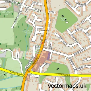
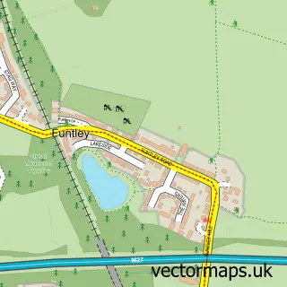
This Southwick street map is a detailed vector street map covering a 750m x 750m area. Select a larger area to create and download your own vector street map of Southwick.
The 750-metre map sample for Southwick covers 125 mapped buildings and approximately 11.3 km of road detail, of which 12 named roads are named. The immediate area includes 3 pubs and 5 MOT stations within 2 miles. The wider area around Southwick features 1 tourism point of interest, 3 food and drink venues and 1 hotel. To create a larger or custom map of Southwick, the map builder lets you define your own coverage area and download editable SVG, PDF and PNG files.
Create a larger editable map of Southwick
Choose any area you need and generate a high-quality vector map instantly. Perfect for print, planning, design, business and personal use.

This Southwick street map in Hampshire is available as downloadable SVG, PDF and PNG map files, or as a printed map for planning, business, display, education, local information and design work. You can also create a larger custom map area using the map selector.
What this Southwick map sample shows
Southwick lies within Southwick And Widley Cp parish, part of Southwick And Wickham ward in the Winchester District (B) local authority area. The postcode geography for this area includes the PO postcode area, the PO17 postcode district and the PO17 6 postcode sector. Residents fall under the Nhs Hampshire And Isle Of Wight Integrated Care Board for NHS services.
Local features near Southwick
Within 2 milesAmenities and services in and around Southwick.
Administrative and postcode information for Southwick
The local authority covering Southwick is Winchester District (B), within the county of Hampshire. The settlement lies within Southwick And Wickham ward and Southwick And Widley Cp civil parish. The PO17 postcode district and PO17 6 postcode sector serve the immediate area. NHS provision in the area is delivered through Portsmouth Hospitals University National Health Service Trust.
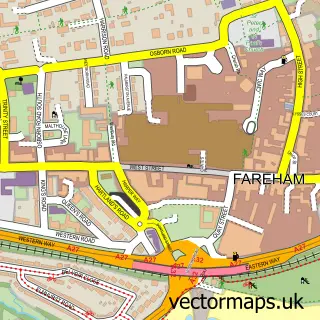
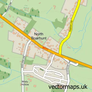
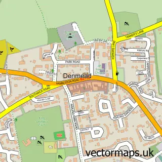
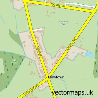
Nearby street map samples around Southwick

More street maps in Hampshire
750 metre map area coverage
Boundary, postcode and point of interest information for the 750m x 750m rectangle centred on this sample map.
Boundaries containing map centre
Constituency: Fareham and Waterlooville Co Const
County: Hampshire County
District: Winchester District (B)
Icb: NHS Hampshire and Isle of Wight ICB
Parish: Southwick and Widley CP
Police Force: hampshire
Postcode District: PO17
Postcode Sector: PO17 6
Ward: Southwick & Wickham Ward
Nearby boundaries intersecting sample
No additional intersecting boundaries found.
Postcode coverage
POI category counts
Pub: 3
Accountant: 2
Kitchen And Bath: 2
Real Estate Agent: 2
Active Life: 1
Anglican Church: 1
Building Supply Store: 1
Business Consulting: 1
Church Cathedral: 1
Community Center: 1
Sample points of interest
- Alexander Vaughan
- K T Accountants Limited
- Southwick Village
- St James
- Aldworth Roofing Contracts
- S B Business Services
- St James's Church
- Southwick D day Memorial Hall
- Southwick Village Stores
- Back to Basics Kitchens
- DW Development - National Pool Lifeguard Qualification and EFAW, EPFA
- Compas Personal Finance
Create a larger editable map of Southwick
This sample shows only a 750 metre area. To create a larger map of Southwick, use our map builder to choose your own coverage area, add titles and download editable SVG, PDF and PNG files.
Create a custom map of Southwick