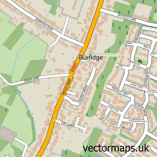
This Funtley street map is a detailed vector street map covering a 750m x 750m area. Select a larger area to create and download your own vector street map of Funtley.
The 750-metre map sample for Funtley covers 126 mapped buildings and approximately 10.3 km of road detail, of which 7 named roads are named. The immediate area includes 3 GP surgeries within 2 miles, 1 pub and 13 MOT stations within 2 miles. The wider area around Funtley features 2 food and drink venues, 1 hotel and 1 campsite within 2 miles. To create a larger or custom map of Funtley, the map builder lets you define your own coverage area and download editable SVG, PDF and PNG files.
Create a larger editable map of Funtley
Choose any area you need and generate a high-quality vector map instantly. Perfect for print, planning, design, business and personal use.

This Funtley street map in Hampshire is available as downloadable SVG, PDF and PNG map files, or as a printed map for planning, business, display, education, local information and design work. You can also create a larger custom map area using the map selector.
What this Funtley map sample shows
Funtley lies within Hampshire County parish, part of Fareham North ward in the Fareham District (B) local authority area. The postcode geography for this area includes the PO postcode area, the PO17 postcode district and the PO17 5 postcode sector. Residents fall under the Nhs Hampshire And Isle Of Wight Integrated Care Board for NHS services.
Local features near Funtley
Within 2 milesAmenities and services in and around Funtley.
Administrative and postcode information for Funtley
The local authority covering Funtley is Fareham District (B), within the county of Hampshire. The settlement lies within Fareham North ward and Hampshire County civil parish. The PO17 postcode district and PO17 5 postcode sector serve the immediate area. NHS provision in the area is delivered through Portsmouth Hospitals University National Health Service Trust.
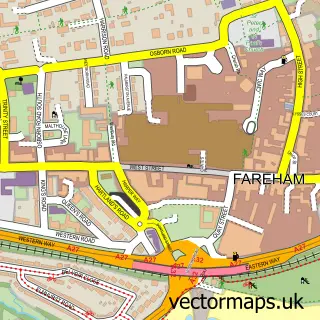
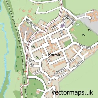
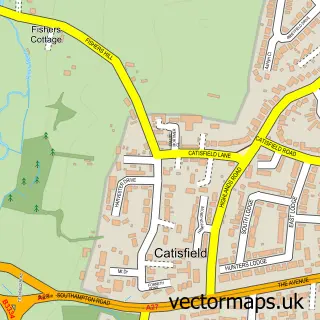
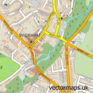
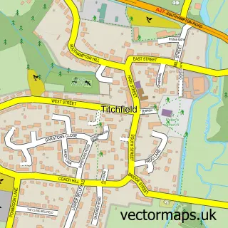
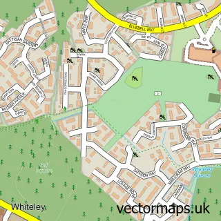
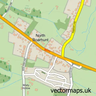
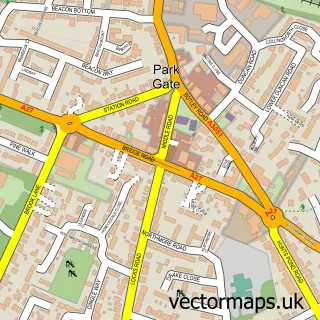
Nearby street map samples around Funtley

More street maps in Hampshire
750 metre map area coverage
Boundary, postcode and point of interest information for the 750m x 750m rectangle centred on this sample map.
Boundaries containing map centre
Constituency: Fareham and Waterlooville Co Const
County: Hampshire County
District: Fareham District (B)
Icb: NHS Hampshire and Isle of Wight ICB
Police Force: hampshire
Postcode District: PO17
Postcode Sector: PO17 5
Ward: Uplands & Funtley Ward
Nearby boundaries intersecting sample
Postcode District: PO15, PO16
Postcode Sector: PO15 6, PO16 7
Ward: Fareham Park Ward
Postcode coverage
POI category counts
Contractor: 1
Electrician: 1
Financial Service: 1
Hotel: 1
Hvac Supplier: 1
Marketing Agency: 1
Plumbing: 1
Pub: 1
Public Service And Government: 1
Real Estate Agent: 1
Sample points of interest
- Fairway Home Improvements
- Daxter Electricals Ltd
- ESJ Business Solutions
- Santa Suzanna, Spain
- Moore Refrigeration & Air Conditioning Ltd.
- Inspired B2B Marketing
- Solent Gas Care
- The Miner's Arms
- Portsmouth City Centre
- Landspeed Affordable Homes
- Funtley coffee shop
- Funtley Social Club
Create a larger editable map of Funtley
This sample shows only a 750 metre area. To create a larger map of Funtley, use our map builder to choose your own coverage area, add titles and download editable SVG, PDF and PNG files.
Create a custom map of Funtley