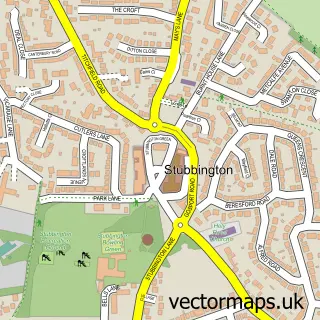
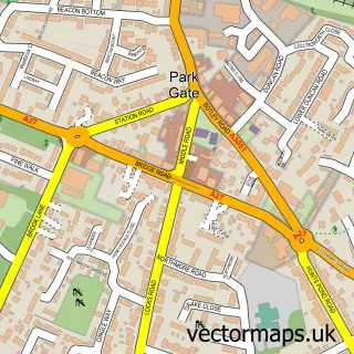
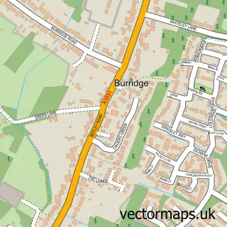
This Catisfield street map is a detailed vector street map covering a 750m x 750m area. Select a larger area to create and download your own vector street map of Catisfield.
The 750-metre map sample for Catisfield covers 322 mapped buildings and approximately 13.3 km of road detail, of which 24 named roads are named. The immediate area includes 4 GP surgeries within 2 miles and 18 MOT stations within 2 miles. The wider area around Catisfield features 1 campsite within 2 miles. To create a larger or custom map of Catisfield, the map builder lets you define your own coverage area and download editable SVG, PDF and PNG files.
Create a larger editable map of Catisfield
Choose any area you need and generate a high-quality vector map instantly. Perfect for print, planning, design, business and personal use.

This Catisfield street map in Hampshire is available as downloadable SVG, PDF and PNG map files, or as a printed map for planning, business, display, education, local information and design work. You can also create a larger custom map area using the map selector.
What this Catisfield map sample shows
Catisfield lies within Hampshire County parish, part of Titchfield ward in the Fareham District (B) local authority area. The postcode geography for this area includes the PO postcode area, the PO14 postcode district and the PO14 4 postcode sector. Residents fall under the Nhs Hampshire And Isle Of Wight Integrated Care Board for NHS services.
Local features near Catisfield
Within 2 milesAmenities and services in and around Catisfield.
Administrative and postcode information for Catisfield
Catisfield lies within Hampshire County parish, part of Titchfield ward in the Fareham District (B) local authority area. The postcode geography for this area includes the PO postcode area, the PO14 postcode district and the PO14 4 postcode sector. Residents fall under the Nhs Hampshire And Isle Of Wight Integrated Care Board for NHS services.
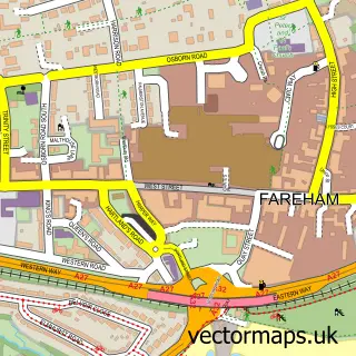
Nearby street map samples around Catisfield

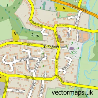
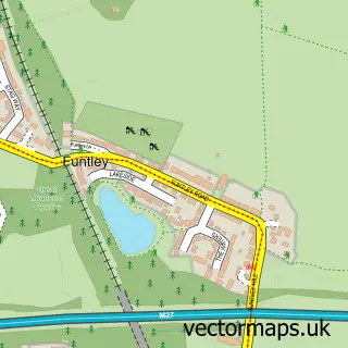
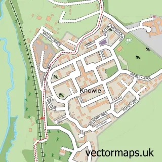
More street maps in Hampshire
750 metre map area coverage
Boundary, postcode and point of interest information for the 750m x 750m rectangle centred on this sample map.
Boundaries containing map centre
Constituency: Hamble Valley Co Const
County: Hampshire County
District: Fareham District (B)
Icb: NHS Hampshire and Isle of Wight ICB
Police Force: hampshire
Postcode District: PO15
Postcode Sector: PO15 5
Ward: Titchfield Ward
Nearby boundaries intersecting sample
Constituency: Fareham and Waterlooville Co Const
Postcode District: PO14
Postcode Sector: PO14 3
Ward: Avenue Ward
Postcode coverage
POI category counts
Assisted Living Facility: 2
Advertising Agency: 1
Community Center: 1
Educational Services: 1
Forestry Service: 1
Home Improvement Store: 1
Printing Equipment And Supply: 1
Professional Services: 1
Property Management: 1
Retail: 1
Sample points of interest
- CSI Print
- Barchester - The Fernes Care Home
- Glen Rose Nursing Home
- Catisfield Memorial Hall
- Golden Light Reiki School
- J W Bartlett
- Southwicks Garden Rooms
- Patron
- ActivWinchester
- Harvester Court Catisfield
- Aerial Sparks
- The Fernes Care Home - Barchester Healthcare
Create a larger editable map of Catisfield
This sample shows only a 750 metre area. To create a larger map of Catisfield, use our map builder to choose your own coverage area, add titles and download editable SVG, PDF and PNG files.
Create a custom map of Catisfield