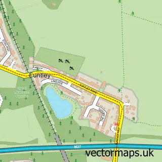
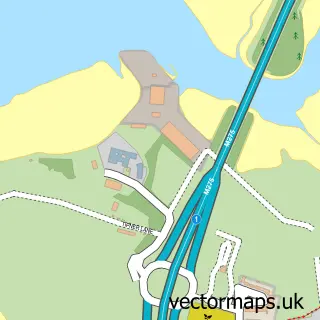
This Fareham street map is a detailed vector street map covering a 750m x 750m area. Select a larger area to create and download your own vector street map of Fareham.
The 750-metre map sample for Fareham covers 294 mapped buildings and approximately 21.3 km of road detail, of which 32 named roads are named. The immediate area includes 1 school, 1 GP surgery, with 4 within 2 miles, 10 pubs and 1 MOT station, with 23 within 2 miles. The wider area around Fareham features 4 tourism points of interest, 30 food and drink venues and 4 hotels. To create a larger or custom map of Fareham, the map builder lets you define your own coverage area and download editable SVG, PDF and PNG files.
Create a larger editable map of Fareham
Choose any area you need and generate a high-quality vector map instantly. Perfect for print, planning, design, business and personal use.

This Fareham street map in Hampshire is available as downloadable SVG, PDF and PNG map files, or as a printed map for planning, business, display, education, local information and design work. You can also create a larger custom map area using the map selector.
What this Fareham map sample shows
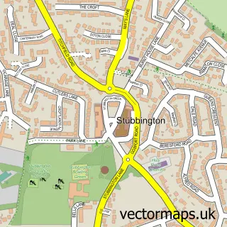
Fareham lies within Hampshire County parish, part of Fareham North ward in the Fareham District (B) local authority area. The postcode geography for this area includes the PO postcode area, the PO16 postcode district and the PO16 7 postcode sector. Residents fall under the Nhs Hampshire And Isle Of Wight Integrated Care Board for NHS services.
Local features near Fareham
Within 2 milesAmenities and services in and around Fareham.
Administrative and postcode information for Fareham
The local authority covering Fareham is Fareham District (B), within the county of Hampshire. The settlement lies within Fareham North ward and Hampshire County civil parish. The PO16 postcode district and PO16 7 postcode sector serve the immediate area. NHS provision in the area is delivered through Portsmouth Hospitals University National Health Service Trust.
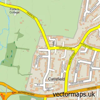
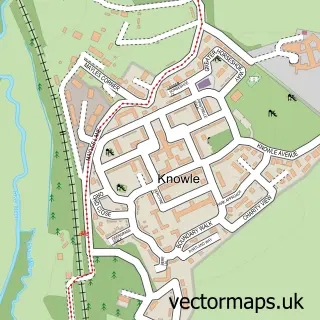
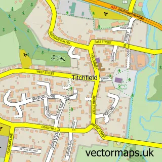
Nearby street map samples around Fareham

More street maps in Hampshire
750 metre map area coverage
Boundary, postcode and point of interest information for the 750m x 750m rectangle centred on this sample map.
Boundaries containing map centre
Constituency: Fareham and Waterlooville Co Const
County: Hampshire County
District: Fareham District (B)
Icb: NHS Hampshire and Isle of Wight ICB
Police Force: hampshire
Postcode District: PO16
Postcode Sector: PO16 0
Ward: Fareham Town Ward
Nearby boundaries intersecting sample
Postcode Sector: PO16 7
Ward: Fort Fareham Ward, Wallington & Downend Ward
Postcode coverage
POI category counts
Mobile Phone Store: 13
Coffee Shop: 12
Dentist: 12
Hair Salon: 12
Bank Credit Union: 11
Clothing Store: 10
Pub: 10
Gym: 9
Beauty Salon: 8
Fast Food Restaurant: 8
Sample points of interest
- Alliott Wingham Limited
- David Huang Acupuncture
- Dr China Fareham
- Clarke Creative
- Little Web
- Little Web
- RM Advertising
- Suður England
- Mark Curry
- Fareham: Holy Trinity
- St Peter and St Paul Fareham
- British Red Cross
Create a larger editable map of Fareham
This sample shows only a 750 metre area. To create a larger map of Fareham, use our map builder to choose your own coverage area, add titles and download editable SVG, PDF and PNG files.
Create a custom map of Fareham