This Wickham street map is a detailed vector street map covering a 750m x 750m area. Select a larger area to create and download your own vector street map of Wickham.
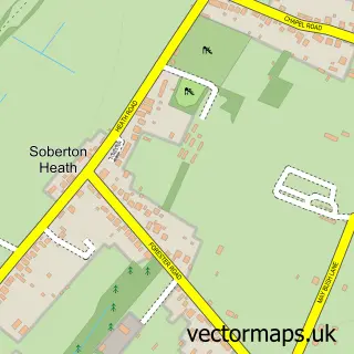
The 750-metre map sample for Wickham covers 369 mapped buildings and approximately 18.6 km of road detail, of which 30 named roads are named. The immediate area includes 1 GP surgery within 2 miles, 2 pubs and 2 MOT stations, with 5 within 2 miles. The wider area around Wickham features 4 tourism points of interest, 8 food and drink venues and 2 hotels. To create a larger or custom map of Wickham, the map builder lets you define your own coverage area and download editable SVG, PDF and PNG files.
Create a larger editable map of Wickham
Choose any area you need and generate a high-quality vector map instantly. Perfect for print, planning, design, business and personal use.

This Wickham street map in Hampshire is available as downloadable SVG, PDF and PNG map files, or as a printed map for planning, business, display, education, local information and design work. You can also create a larger custom map area using the map selector.
What this Wickham map sample shows
Wickham lies within Wickham And Knowle Cp parish, part of Southwick And Wickham ward in the Winchester District (B) local authority area. The postcode geography for this area includes the PO postcode area, the PO17 postcode district and the PO17 5 postcode sector. Residents fall under the Nhs Hampshire And Isle Of Wight Integrated Care Board for NHS services.
Local features near Wickham
Within 2 milesAmenities and services in and around Wickham.
Administrative and postcode information for Wickham
The local authority covering Wickham is Winchester District (B), within the county of Hampshire. The settlement lies within Southwick And Wickham ward and Wickham And Knowle Cp civil parish. The PO17 postcode district and PO17 5 postcode sector serve the immediate area. NHS provision in the area is delivered through Portsmouth Hospitals University National Health Service Trust.
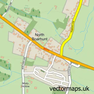
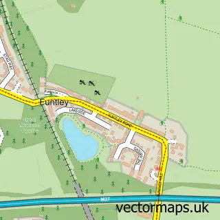
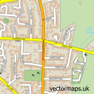
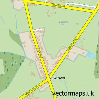
Nearby street map samples around Wickham

More street maps in Hampshire
750 metre map area coverage
Boundary, postcode and point of interest information for the 750m x 750m rectangle centred on this sample map.
Boundaries containing map centre
Constituency: Fareham and Waterlooville Co Const
County: Hampshire County
District: Winchester District (B)
Icb: NHS Hampshire and Isle of Wight ICB
Parish: Wickham and Knowle CP
Police Force: hampshire
Postcode District: PO17
Postcode Sector: PO17 5
Ward: Southwick & Wickham Ward
Nearby boundaries intersecting sample
Postcode Sector: PO17 6
Postcode coverage
POI category counts
Tea Room: 6
Convenience Store: 5
Antique Store: 4
Beauty Salon: 4
Indian Restaurant: 4
Restaurant: 4
Automotive Repair: 3
Beauty And Spa: 3
Beauty Product Supplier: 3
Building Supply Store: 3
Sample points of interest
- Glow Marketing
- St Nicholas
- Anchor Antiques
- CW Antiques
- Chesapeake Mill
- Warwick Market
- Axis Architecture
- Wild Art Gallery
- A Good Yarn - Wickham
- Shell Wickham, Wickham
- The Southern Co-Operative Wickham The Square (ERF), Wickham
- The Water Meadows
Create a larger editable map of Wickham
This sample shows only a 750 metre area. To create a larger map of Wickham, use our map builder to choose your own coverage area, add titles and download editable SVG, PDF and PNG files.
Create a custom map of Wickham