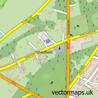
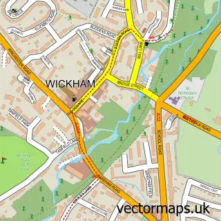
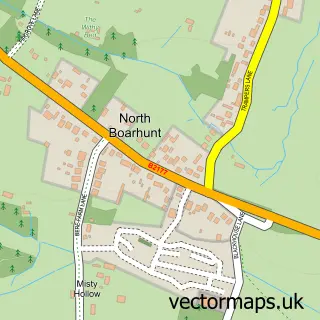
This Shirrell Heath street map is a detailed vector street map covering a 750m x 750m area. Select a larger area to create and download your own vector street map of Shirrell Heath.
The 750-metre map sample for Shirrell Heath covers 303 mapped buildings and approximately 9.4 km of road detail, of which 9 named roads are named. The immediate area includes 1 GP surgery within 2 miles and 1 MOT station, with 7 within 2 miles. The wider area around Shirrell Heath features 1 tourism point of interest and 1 campsite within 2 miles. To create a larger or custom map of Shirrell Heath, the map builder lets you define your own coverage area and download editable SVG, PDF and PNG files.
Create a larger editable map of Shirrell Heath
Choose any area you need and generate a high-quality vector map instantly. Perfect for print, planning, design, business and personal use.

This Shirrell Heath street map in Hampshire is available as downloadable SVG, PDF and PNG map files, or as a printed map for planning, business, display, education, local information and design work. You can also create a larger custom map area using the map selector.
What this Shirrell Heath map sample shows
Shirrell Heath lies within Shedfield Cp parish, part of Whiteley And Shedfield ward in the Winchester District (B) local authority area. The postcode geography for this area includes the SO postcode area, the SO32 postcode district and the SO32 2 postcode sector. Residents fall under the Nhs Hampshire And Isle Of Wight Integrated Care Board for NHS services.
Local features near Shirrell Heath
Within 2 milesAmenities and services in and around Shirrell Heath.
Administrative and postcode information for Shirrell Heath
Shirrell Heath lies within Shedfield Cp parish, part of Whiteley And Shedfield ward in the Winchester District (B) local authority area. The postcode geography for this area includes the SO postcode area, the SO32 postcode district and the SO32 2 postcode sector. Residents fall under the Nhs Hampshire And Isle Of Wight Integrated Care Board for NHS services.
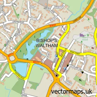
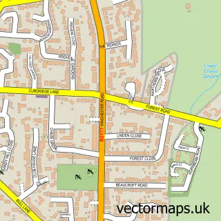
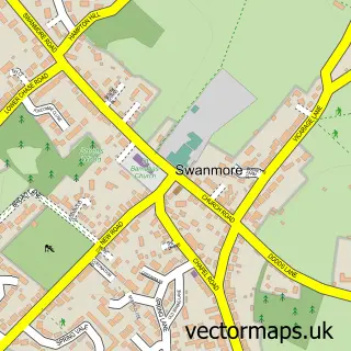
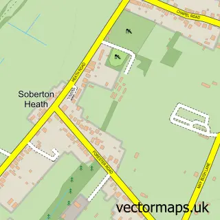
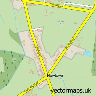
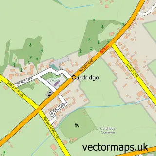
Nearby street map samples around Shirrell Heath

More street maps in Hampshire
750 metre map area coverage
Boundary, postcode and point of interest information for the 750m x 750m rectangle centred on this sample map.
Boundaries containing map centre
Constituency: Hamble Valley Co Const
County: Hampshire County
District: Winchester District (B)
Icb: NHS Hampshire and Isle of Wight ICB
Parish: Shedfield CP
Police Force: hampshire
Postcode District: SO32
Postcode Sector: SO32 2
Ward: Whiteley & Shedfield Ward
Nearby boundaries intersecting sample
No additional intersecting boundaries found.
Postcode coverage
POI category counts
Automotive Repair: 2
Bar: 1
Church Cathedral: 1
Counseling And Mental Health: 1
Hair Salon: 1
Handyman: 1
Landmark And Historical Building: 1
Sample points of interest
- Move My Motor
- Winkworths Garage
- The Prince of Wales
- Shirrell Heath Methodist Church
- LinkedUp Counselling
- Strategic Change Management
- A F F Handyman Services
- Shirrell Heath
Create a larger editable map of Shirrell Heath
This sample shows only a 750 metre area. To create a larger map of Shirrell Heath, use our map builder to choose your own coverage area, add titles and download editable SVG, PDF and PNG files.
Create a custom map of Shirrell Heath