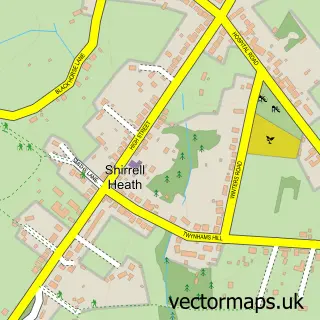
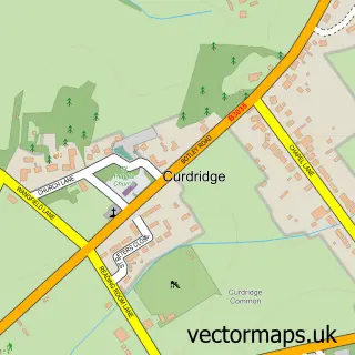
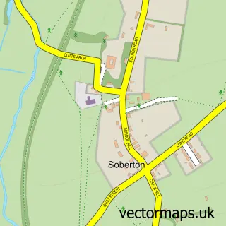
This Waltham Chase street map is a detailed vector street map covering a 750m x 750m area. Select a larger area to create and download your own vector street map of Waltham Chase.
The 750-metre map sample for Waltham Chase covers 569 mapped buildings and approximately 16.1 km of road detail, of which 31 named roads are named. The immediate area includes 1 GP surgery within 2 miles and 8 MOT stations within 2 miles. To create a larger or custom map of Waltham Chase, the map builder lets you define your own coverage area and download editable SVG, PDF and PNG files.
Create a larger editable map of Waltham Chase
Choose any area you need and generate a high-quality vector map instantly. Perfect for print, planning, design, business and personal use.

This Waltham Chase street map in Hampshire is available as downloadable SVG, PDF and PNG map files, or as a printed map for planning, business, display, education, local information and design work. You can also create a larger custom map area using the map selector.
What this Waltham Chase map sample shows
Waltham Chase lies within Shedfield Cp parish, part of Central Meon Valley ward in the Winchester District (B) local authority area. The postcode geography for this area includes the SO postcode area, the SO32 postcode district and the SO32 2 postcode sector. Residents fall under the Nhs Hampshire And Isle Of Wight Integrated Care Board for NHS services.
Local features near Waltham Chase
Within 2 milesAmenities and services in and around Waltham Chase.
Administrative and postcode information for Waltham Chase
The local authority covering Waltham Chase is Winchester District (B), within the county of Hampshire. The settlement lies within Central Meon Valley ward and Shedfield Cp civil parish. The SO32 postcode district and SO32 2 postcode sector serve the immediate area. NHS provision in the area is delivered through Hampshire Hospitals Nhs Foundation Trust.
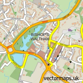
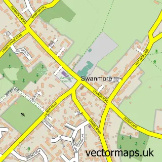
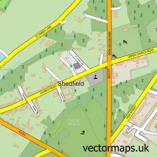
Nearby street map samples around Waltham Chase

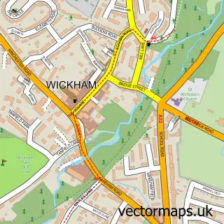
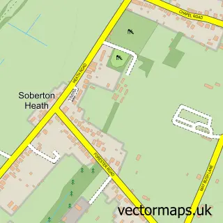
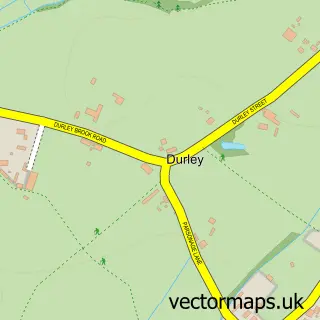
More street maps in Hampshire
750 metre map area coverage
Boundary, postcode and point of interest information for the 750m x 750m rectangle centred on this sample map.
Boundaries containing map centre
Constituency: Winchester Co Const
County: Hampshire County
District: Winchester District (B)
Icb: NHS Hampshire and Isle of Wight ICB
Parish: Shedfield CP
Police Force: hampshire
Postcode District: SO32
Postcode Sector: SO32 2
Ward: Central Meon Valley Ward
Nearby boundaries intersecting sample
Parish: Swanmore CP
Postcode coverage
POI category counts
Contractor: 3
Landscaping: 3
Beauty And Spa: 2
Home Health Care: 2
Hvac Services: 2
It Service And Computer Repair: 2
Massage Therapy: 2
Shipping Center: 2
Architect: 1
Auto Electrical Repair: 1
Sample points of interest
- Landmark Design
- Chase Farm Electrical
- Phils Auto Repairs
- Clara's Beauty Cabin
- The Holistic Healing Tree
- Browns Hair Lounge - Waltham Chase
- Sound Barrier Systems
- Abrahams Electrical Services
- Jest Events
- Chase Cycles
- Waltham Chase Methodist Church
- K Richards Plastering
Create a larger editable map of Waltham Chase
This sample shows only a 750 metre area. To create a larger map of Waltham Chase, use our map builder to choose your own coverage area, add titles and download editable SVG, PDF and PNG files.
Create a custom map of Waltham Chase