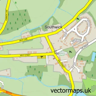
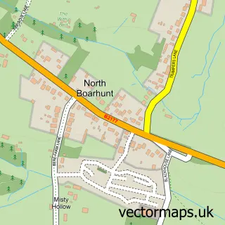
This Denmead street map is a detailed vector street map covering a 750m x 750m area. Select a larger area to create and download your own vector street map of Denmead.
The 750-metre map sample for Denmead covers 376 mapped buildings and approximately 12.9 km of road detail, of which 26 named roads are named. The immediate area includes 1 GP surgery, 3 pubs and 5 MOT stations within 2 miles. The wider area around Denmead features 1 tourism point of interest and 4 food and drink venues. To create a larger or custom map of Denmead, the map builder lets you define your own coverage area and download editable SVG, PDF and PNG files.
Create a larger editable map of Denmead
Choose any area you need and generate a high-quality vector map instantly. Perfect for print, planning, design, business and personal use.

This Denmead street map in Hampshire is available as downloadable SVG, PDF and PNG map files, or as a printed map for planning, business, display, education, local information and design work. You can also create a larger custom map area using the map selector.
What this Denmead map sample shows
Denmead lies within Denmead Cp parish, part of Denmead ward in the Winchester District (B) local authority area. The postcode geography for this area includes the PO postcode area, the PO7 postcode district and the PO7 6 postcode sector. Residents fall under the Nhs Hampshire And Isle Of Wight Integrated Care Board for NHS services.
Local features near Denmead
Within 2 milesAmenities and services in and around Denmead.
Administrative and postcode information for Denmead
The local authority covering Denmead is Winchester District (B), within the county of Hampshire. The settlement lies within Denmead ward and Denmead Cp civil parish. The PO7 postcode district and PO7 6 postcode sector serve the immediate area. NHS provision in the area is delivered through Portsmouth Hospitals University National Health Service Trust.
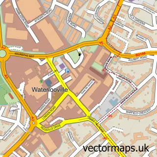
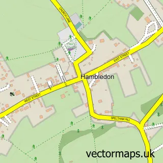
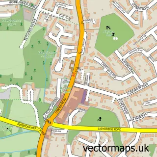
Nearby street map samples around Denmead

More street maps in Hampshire
750 metre map area coverage
Boundary, postcode and point of interest information for the 750m x 750m rectangle centred on this sample map.
Boundaries containing map centre
Constituency: Fareham and Waterlooville Co Const
County: Hampshire County
District: Winchester District (B)
Icb: NHS Hampshire and Isle of Wight ICB
Parish: Denmead CP
Police Force: hampshire
Postcode District: PO7
Postcode Sector: PO7 6
Ward: Denmead Ward
Nearby boundaries intersecting sample
No additional intersecting boundaries found.
Postcode coverage
POI category counts
Beauty Salon: 5
Hair Salon: 4
Pub: 3
Anglican Church: 2
Asian Fusion Restaurant: 2
Building Supply Store: 2
Carpenter: 2
Cosmetology School: 2
Family Practice: 2
Funeral Services And Cemeteries: 2
Sample points of interest
- King George's Park and Playing Fields
- All Saints Church
- All Saints, Denmead
- Bengal Forest
- Bengal Forest
- The Southern Co-Operative Denmead (Int), Denmead
- Procar Detailing Paint Correction Ceramic Coating Specialist
- Moneysprite Solent
- Denmead Garage Services
- The Bakehouse
- Lloyds Bank
- NatWest
Create a larger editable map of Denmead
This sample shows only a 750 metre area. To create a larger map of Denmead, use our map builder to choose your own coverage area, add titles and download editable SVG, PDF and PNG files.
Create a custom map of Denmead