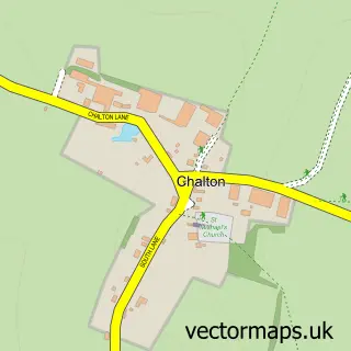
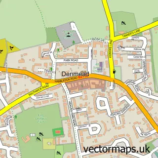
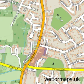
This Catherington street map is a detailed vector street map covering a 750m x 750m area. Select a larger area to create and download your own vector street map of Catherington.
The 750-metre map sample for Catherington covers 77 mapped buildings and approximately 9.5 km of road detail, of which 5 named roads are named. The immediate area includes 1 school, 3 GP surgeries within 2 miles, 1 pub and 9 MOT stations within 2 miles. The wider area around Catherington features 1 food and drink venue. To create a larger or custom map of Catherington, the map builder lets you define your own coverage area and download editable SVG, PDF and PNG files.
Create a larger editable map of Catherington
Choose any area you need and generate a high-quality vector map instantly. Perfect for print, planning, design, business and personal use.

This Catherington street map in Hampshire is available as downloadable SVG, PDF and PNG map files, or as a printed map for planning, business, display, education, local information and design work. You can also create a larger custom map area using the map selector.
What this Catherington map sample shows
Catherington lies within Horndean Cp parish, part of Horndean Catherington ward in the East Hampshire District local authority area. The postcode geography for this area includes the PO postcode area, the PO8 postcode district and the PO8 0 postcode sector. Residents fall under the Nhs Hampshire And Isle Of Wight Integrated Care Board for NHS services.
Local features near Catherington
Within 2 milesAmenities and services in and around Catherington.
Administrative and postcode information for Catherington
Catherington lies within Horndean Cp parish, part of Horndean Catherington ward in the East Hampshire District local authority area. The postcode geography for this area includes the PO postcode area, the PO8 postcode district and the PO8 0 postcode sector. Residents fall under the Nhs Hampshire And Isle Of Wight Integrated Care Board for NHS services.
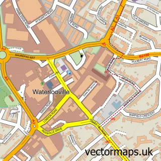
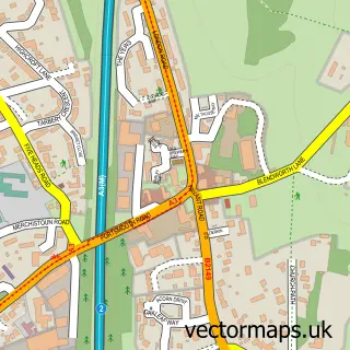
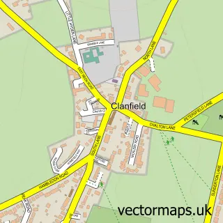
Nearby street map samples around Catherington

More street maps in Hampshire
750 metre map area coverage
Boundary, postcode and point of interest information for the 750m x 750m rectangle centred on this sample map.
Boundaries containing map centre
Constituency: East Hampshire Co Const
County: Hampshire County
District: East Hampshire District
Icb: NHS Hampshire and Isle of Wight ICB
Parish: Horndean CP
Police Force: hampshire
Postcode District: PO8
Postcode Sector: PO8 0
Ward: Horndean Catherington Ward
Nearby boundaries intersecting sample
Postcode Sector: PO8 9
Ward: Horndean Downs Ward
Postcode coverage
POI category counts
Property Management: 2
Beauty Salon: 1
Car Dealer: 1
Car Stereo Store: 1
Car Window Tinting: 1
Church Cathedral: 1
Elementary School: 1
Engineering Services: 1
Equestrian Facility: 1
Hiking Trail: 1
Sample points of interest
- SerenityBeauty
- P M Trading
- Cannon Car Audio
- Global Tint Ltd.
- All Saints Church
- Catherington Church of England School
- Empress Tooling
- Malcolm Dunning Saddlery
- Catherington Down
- Catherington Nursery
- Kingscourt School
- Safeguard
Create a larger editable map of Catherington
This sample shows only a 750 metre area. To create a larger map of Catherington, use our map builder to choose your own coverage area, add titles and download editable SVG, PDF and PNG files.
Create a custom map of Catherington