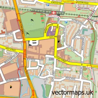
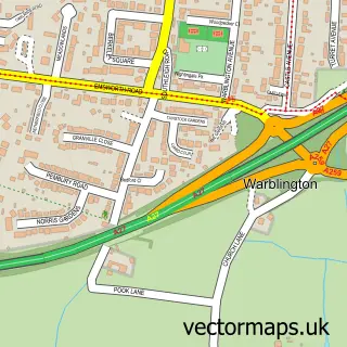
This Rowlands Castle street map is a detailed vector street map covering a 750m x 750m area. Select a larger area to create and download your own vector street map of Rowlands Castle.
The 750-metre map sample for Rowlands Castle covers 338 mapped buildings and approximately 21.2 km of road detail, of which 16 named roads are named. The immediate area includes 1 railway station, 1 GP surgery, 4 pubs and 1 MOT station, with 5 within 2 miles. The wider area around Rowlands Castle features 2 tourism points of interest and 5 food and drink venues. To create a larger or custom map of Rowlands Castle, the map builder lets you define your own coverage area and download editable SVG, PDF and PNG files.
Create a larger editable map of Rowlands Castle
Choose any area you need and generate a high-quality vector map instantly. Perfect for print, planning, design, business and personal use.

This Rowlands Castle street map in Hampshire is available as downloadable SVG, PDF and PNG map files, or as a printed map for planning, business, display, education, local information and design work. You can also create a larger custom map area using the map selector.
What this Rowlands Castle map sample shows
Rowlands Castle lies within Rowlands Castle Cp parish, part of Rowlands Castle ward in the East Hampshire District local authority area. The postcode geography for this area includes the PO postcode area, the PO9 postcode district and the PO9 6 postcode sector. Residents fall under the Nhs Hampshire And Isle Of Wight Integrated Care Board for NHS services.
Local features near Rowlands Castle
Within 2 milesAmenities and services in and around Rowlands Castle.
Administrative and postcode information for Rowlands Castle
Rowlands Castle lies within Rowlands Castle Cp parish, part of Rowlands Castle ward in the East Hampshire District local authority area. The postcode geography for this area includes the PO postcode area, the PO9 postcode district and the PO9 6 postcode sector. Residents fall under the Nhs Hampshire And Isle Of Wight Integrated Care Board for NHS services.
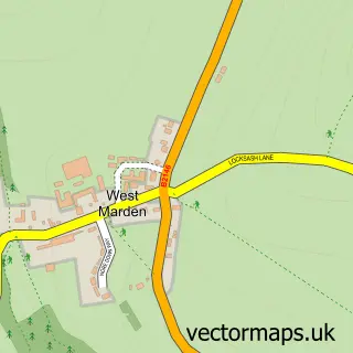
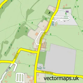
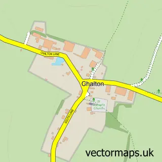
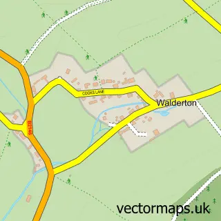
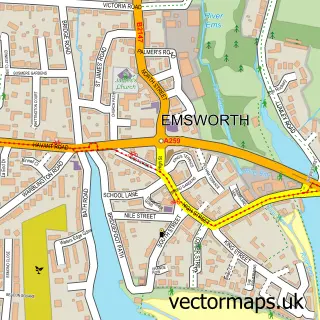
Nearby street map samples around Rowlands Castle

More street maps in Hampshire
750 metre map area coverage
Boundary, postcode and point of interest information for the 750m x 750m rectangle centred on this sample map.
Boundaries containing map centre
Constituency: East Hampshire Co Const
County: Hampshire County
District: East Hampshire District
Icb: NHS Hampshire and Isle of Wight ICB
Parish: Rowlands Castle CP
Police Force: hampshire
Postcode District: PO9
Postcode Sector: PO9 6
Ward: Rowlands Castle Ward
Nearby boundaries intersecting sample
Constituency: Chichester Co Const
County: West Sussex County
District: Chichester District
Icb: NHS Surrey and Sussex ICB
Parish: Stoughton CP
Police Force: sussex
Ward: Westbourne Ward
Postcode coverage
POI category counts
Pub: 4
Hardware Store: 3
Barber: 2
Business Consulting: 2
Church Cathedral: 2
Community Services Non Profits: 2
Convenience Store: 2
Hair Stylist: 2
Land Surveying: 2
Shipping Center: 2
Sample points of interest
- Handmade Studio
- Stanstead Forest
- Hall's Garage
- Livelink Technology
- Lloyds Bank
- Barbers on the green
- Mane attraction
- Specialist Health and Beauty
- Rowlands Castle BnB
- Keyline Builders Merchants
- Tyco Hire
- Catherine Billam Coaching
Create a larger editable map of Rowlands Castle
This sample shows only a 750 metre area. To create a larger map of Rowlands Castle, use our map builder to choose your own coverage area, add titles and download editable SVG, PDF and PNG files.
Create a custom map of Rowlands Castle