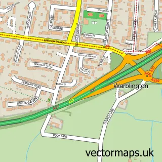
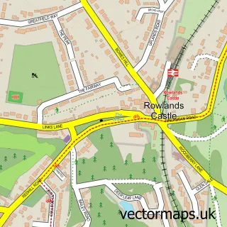
This Havant street map is a detailed vector street map covering a 750m x 750m area. Select a larger area to create and download your own vector street map of Havant.
The 750-metre map sample for Havant covers 339 mapped buildings and approximately 18.7 km of road detail, of which 39 named roads are named. The immediate area includes 2 schools, 1 railway station, 1 GP surgery, with 4 within 2 miles and 7 pubs among other local services. The wider area around Havant features 4 tourism points of interest and 22 food and drink venues. To create a larger or custom map of Havant, the map builder lets you define your own coverage area and download editable SVG, PDF and PNG files.
Create a larger editable map of Havant
Choose any area you need and generate a high-quality vector map instantly. Perfect for print, planning, design, business and personal use.

This Havant street map in Hampshire is available as downloadable SVG, PDF and PNG map files, or as a printed map for planning, business, display, education, local information and design work. You can also create a larger custom map area using the map selector.
What this Havant map sample shows
Havant lies within Hampshire County parish, part of St Faith's ward in the Havant District (B) local authority area. The postcode geography for this area includes the PO postcode area, the PO9 postcode district and the PO9 2 postcode sector. Residents fall under the Nhs Hampshire And Isle Of Wight Integrated Care Board for NHS services.
Local features near Havant
Within 2 milesAmenities and services in and around Havant.
Administrative and postcode information for Havant
Havant lies within Hampshire County parish, part of St Faith's ward in the Havant District (B) local authority area. The postcode geography for this area includes the PO postcode area, the PO9 postcode district and the PO9 2 postcode sector. Residents fall under the Nhs Hampshire And Isle Of Wight Integrated Care Board for NHS services.
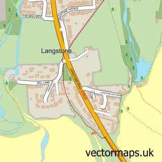
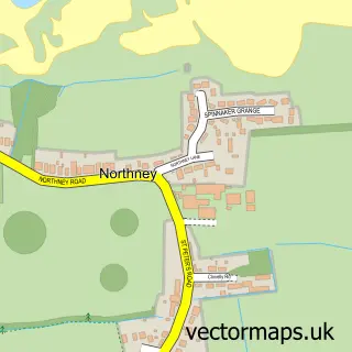
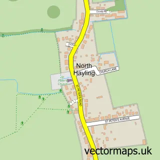
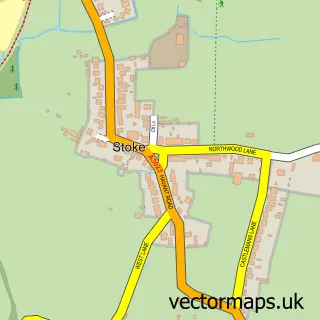
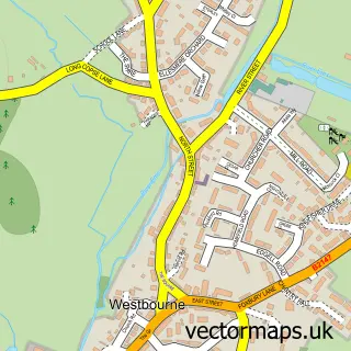
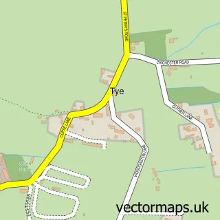
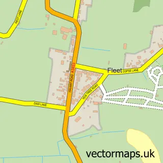
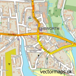
Nearby street map samples around Havant

More street maps in Hampshire
750 metre map area coverage
Boundary, postcode and point of interest information for the 750m x 750m rectangle centred on this sample map.
Boundaries containing map centre
Constituency: Havant Boro Const
County: Hampshire County
District: Havant District (B)
Icb: NHS Hampshire and Isle of Wight ICB
Police Force: hampshire
Postcode District: PO9
Postcode Sector: PO9 1
Ward: Havant St. Faith's Ward
Nearby boundaries intersecting sample
Postcode Sector: PO9 2
Ward: Bedhampton Ward
Postcode coverage
POI category counts
Beauty Salon: 14
Employment Agencies: 10
Hair Salon: 10
Retail: 8
Barber: 7
Charity Organization: 7
Coffee Shop: 7
Community Services Non Profits: 7
Dentist: 7
Discount Store: 7
Sample points of interest
- AJD Accountants and Business Advisers
- AM-PM Accounting Solutions Limited
- Azets - Accountants & Business Advisors
- KM Accounting and Bookkeeping
- Morris Crocker
- Solent Accounting
- Acupuncture Centre
- High View Chinese Medical Clinic
- Dene Bank Design
- InterLocal LTD
- Interlocal
- Owen Advertising
Create a larger editable map of Havant
This sample shows only a 750 metre area. To create a larger map of Havant, use our map builder to choose your own coverage area, add titles and download editable SVG, PDF and PNG files.
Create a custom map of Havant