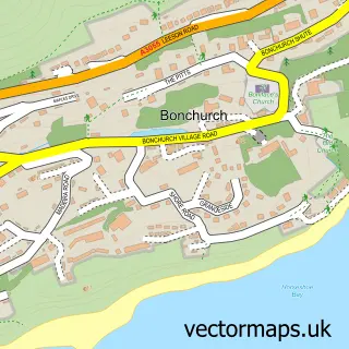
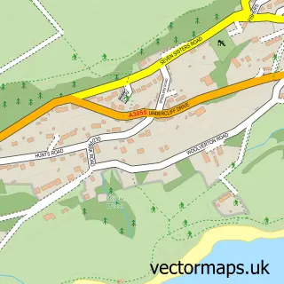
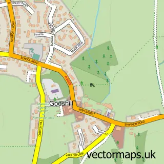
This Upper Bonchurch street map is a detailed vector street map covering a 750m x 750m area. Select a larger area to create and download your own vector street map of Upper Bonchurch.
The 750-metre map sample for Upper Bonchurch covers 143 mapped buildings and approximately 6.1 km of road detail, of which 4 named roads are named. The immediate area includes 1 GP surgery within 2 miles, 1 pub and 3 MOT stations within 2 miles. The wider area around Upper Bonchurch features 2 tourism points of interest and 1 food and drink venue. To create a larger or custom map of Upper Bonchurch, the map builder lets you define your own coverage area and download editable SVG, PDF and PNG files.
Create a larger editable map of Upper Bonchurch
Choose any area you need and generate a high-quality vector map instantly. Perfect for print, planning, design, business and personal use.

This Upper Bonchurch street map in Isle of Wight is available as downloadable SVG, PDF and PNG map files, or as a printed map for planning, business, display, education, local information and design work. You can also create a larger custom map area using the map selector.
What this Upper Bonchurch map sample shows
Upper Bonchurch lies within Ventnor Cp parish, part of Ventnor East ward in the Isle Of Wight local authority area. The postcode geography for this area includes the PO postcode area, the PO38 postcode district and the PO38 1 postcode sector. Residents fall under the Nhs Hampshire And Isle Of Wight Integrated Care Board for NHS services.
Local features near Upper Bonchurch
Within 2 milesAmenities and services in and around Upper Bonchurch.
Administrative and postcode information for Upper Bonchurch
Upper Bonchurch lies within Ventnor Cp parish, part of Ventnor East ward in the Isle Of Wight local authority area. The postcode geography for this area includes the PO postcode area, the PO38 postcode district and the PO38 1 postcode sector. Residents fall under the Nhs Hampshire And Isle Of Wight Integrated Care Board for NHS services.
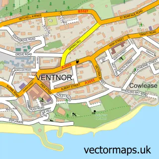
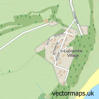
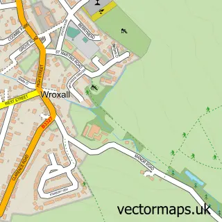
Nearby street map samples around Upper Bonchurch

More street maps in Isle of Wight
750 metre map area coverage
Boundary, postcode and point of interest information for the 750m x 750m rectangle centred on this sample map.
Boundaries containing map centre
Constituency: Isle of Wight East Co Const
District: Isle of Wight
Icb: NHS Hampshire and Isle of Wight ICB
Parish: Ventnor CP
Police Force: hampshire
Postcode District: PO38
Postcode Sector: PO38 1
Nearby boundaries intersecting sample
No additional intersecting boundaries found.
Postcode coverage
POI category counts
Landmark And Historical Building: 2
Accommodation: 1
Armed Forces Branch: 1
Arts And Entertainment: 1
Bed And Breakfast: 1
Bridal Shop: 1
Church Cathedral: 1
Event Planning: 1
Holiday Rental Home: 1
Italian Restaurant: 1
Sample points of interest
- Torwood - Isle of Wight
- RAF Ventnor
- Chink
- Claddagh Bed & Breakfast
- Charleston Classic Vehicles
- St Boniface Church
- East Dene Weddings
- OceanBlue Coastal Retreats
- Bonchurch Inn
- Joseph Allnatt Centres
- Bonchurch Pond
- Bonchurch
Create a larger editable map of Upper Bonchurch
This sample shows only a 750 metre area. To create a larger map of Upper Bonchurch, use our map builder to choose your own coverage area, add titles and download editable SVG, PDF and PNG files.
Create a custom map of Upper Bonchurch