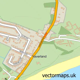
This Shanklin street map is a detailed vector street map covering a 750m x 750m area. Select a larger area to create and download your own vector street map of Shanklin.
The 750-metre map sample for Shanklin covers 514 mapped buildings and approximately 23.1 km of road detail, of which 51 named roads are named. The immediate area includes 1 school, 1 GP surgery within 2 miles, 8 pubs and 4 MOT stations within 2 miles. The wider area around Shanklin features 2 tourism points of interest, 30 food and drink venues and 48 hotels. To create a larger or custom map of Shanklin, the map builder lets you define your own coverage area and download editable SVG, PDF and PNG files.
Create a larger editable map of Shanklin
Choose any area you need and generate a high-quality vector map instantly. Perfect for print, planning, design, business and personal use.

This Shanklin street map in Isle of Wight is available as downloadable SVG, PDF and PNG map files, or as a printed map for planning, business, display, education, local information and design work. You can also create a larger custom map area using the map selector.
What this Shanklin map sample shows
Shanklin lies within Shanklin Cp parish, part of Shanklin Central ward in the Isle Of Wight local authority area. The postcode geography for this area includes the PO postcode area, the PO37 postcode district and the PO37 6 postcode sector. Residents fall under the Nhs Hampshire And Isle Of Wight Integrated Care Board for NHS services.
Local features near Shanklin
Within 2 milesAmenities and services in and around Shanklin.
Administrative and postcode information for Shanklin
The local authority covering Shanklin is Isle Of Wight, within the county of Isle Of Wight. The settlement lies within Shanklin Central ward and Shanklin Cp civil parish. The PO37 postcode district and PO37 6 postcode sector serve the immediate area. NHS provision in the area is delivered through Isle Of Wight Nhs Trust.
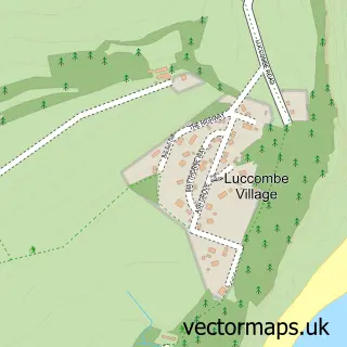
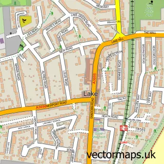
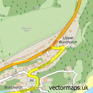
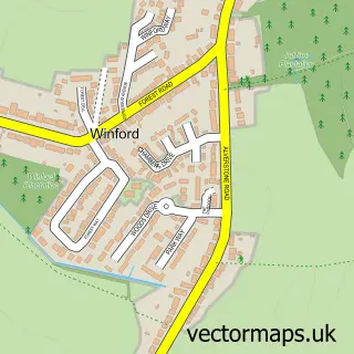
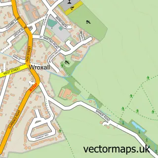
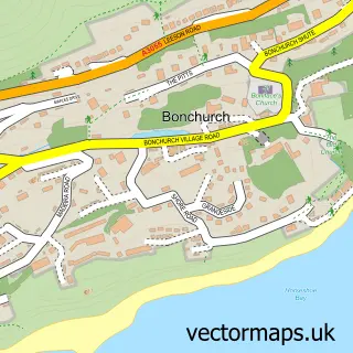
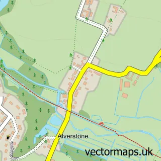
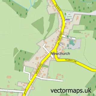
Nearby street map samples around Shanklin

More street maps in Isle of Wight
750 metre map area coverage
Boundary, postcode and point of interest information for the 750m x 750m rectangle centred on this sample map.
Boundaries containing map centre
Constituency: Isle of Wight East Co Const
District: Isle of Wight
Icb: NHS Hampshire and Isle of Wight ICB
Parish: Shanklin CP
Police Force: hampshire
Postcode District: PO37
Postcode Sector: PO37 6
Nearby boundaries intersecting sample
Postcode Sector: PO37 7
Postcode coverage
POI category counts
Hotel: 48
Bed And Breakfast: 23
Flowers And Gifts Shop: 16
Pub: 9
Cafe: 8
Holiday Rental Home: 8
Restaurant: 8
Antique Store: 6
Clothing Store: 6
Coffee Shop: 6
Sample points of interest
- Undercliff Accounting
- Deelite Fitness
- Hockey Stars Elite Camp
- British Red Cross
- Fossil Cavern
- Shanklin Chic
- Taffeta Antiques
- The Squirrel's Drey
- Victoria Antiques
- T L C Appliances
- Steamer Gallery
- Crafting Around
Create a larger editable map of Shanklin
This sample shows only a 750 metre area. To create a larger map of Shanklin, use our map builder to choose your own coverage area, add titles and download editable SVG, PDF and PNG files.
Create a custom map of Shanklin