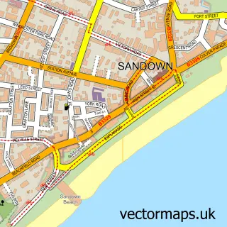
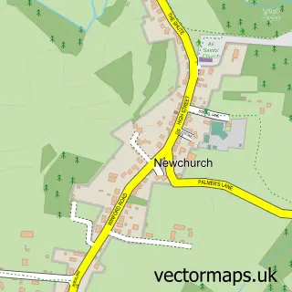
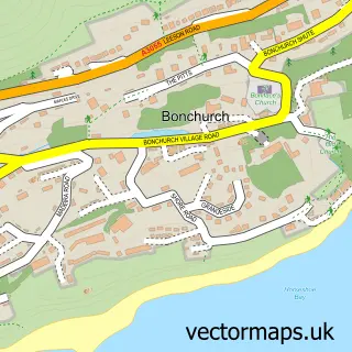
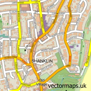
This Lake street map is a detailed vector street map covering a 750m x 750m area. Select a larger area to create and download your own vector street map of Lake.
The 750-metre map sample for Lake covers 728 mapped buildings and approximately 19.1 km of road detail, of which 44 named roads are named. The immediate area includes 1 railway station, 1 GP surgery within 2 miles, 1 pub and 7 MOT stations within 2 miles. The wider area around Lake features 1 tourism point of interest, 2 food and drink venues and 4 hotels. To create a larger or custom map of Lake, the map builder lets you define your own coverage area and download editable SVG, PDF and PNG files.
Create a larger editable map of Lake
Choose any area you need and generate a high-quality vector map instantly. Perfect for print, planning, design, business and personal use.

This Lake street map in Isle of Wight is available as downloadable SVG, PDF and PNG map files, or as a printed map for planning, business, display, education, local information and design work. You can also create a larger custom map area using the map selector.
What this Lake map sample shows
Lake lies within Sandown Cp parish, part of Sandown South ward in the Isle Of Wight local authority area. The postcode geography for this area includes the PO postcode area, the PO36 postcode district and the PO36 8 postcode sector. Residents fall under the Nhs Hampshire And Isle Of Wight Integrated Care Board for NHS services.
Local features near Lake
Within 2 milesAmenities and services in and around Lake.
Administrative and postcode information for Lake
The local authority covering Lake is Isle Of Wight, within the county of Isle Of Wight. The settlement lies within Sandown South ward and Sandown Cp civil parish. The PO36 postcode district and PO36 8 postcode sector serve the immediate area. NHS provision in the area is delivered through Isle Of Wight Nhs Trust.
Nearby street map samples around Lake

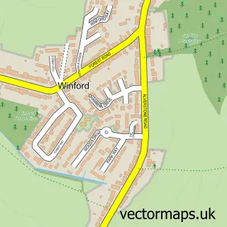
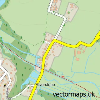
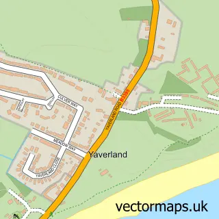
More street maps in Isle of Wight
750 metre map area coverage
Boundary, postcode and point of interest information for the 750m x 750m rectangle centred on this sample map.
Boundaries containing map centre
Constituency: Isle of Wight East Co Const
District: Isle of Wight
Icb: NHS Hampshire and Isle of Wight ICB
Parish: Lake CP
Police Force: hampshire
Postcode District: PO36
Postcode Sector: PO36 9
Nearby boundaries intersecting sample
Parish: Sandown CP
Postcode Sector: PO36 8
Postcode coverage
POI category counts
Convenience Store: 6
Hotel: 4
Church Cathedral: 3
Train Station: 3
Bed And Breakfast: 2
Chinese Restaurant: 2
Cleaning Services: 2
Gardener: 2
Land Surveying: 2
Optometrist: 2
Sample points of interest
- Allegri And Co.
- The Good Shepherd
- Lake Antiques
- Knit Knacks
- Islecare 97
- Lake Cliff Path Gardens
- Plattsy's Barber Shop
- Shanklin Seaside
- Cliff Lodge
- Haytor Lodge
- Ace Marine Services
- The Wight Cleaning Company
Create a larger editable map of Lake
This sample shows only a 750 metre area. To create a larger map of Lake, use our map builder to choose your own coverage area, add titles and download editable SVG, PDF and PNG files.
Create a custom map of Lake