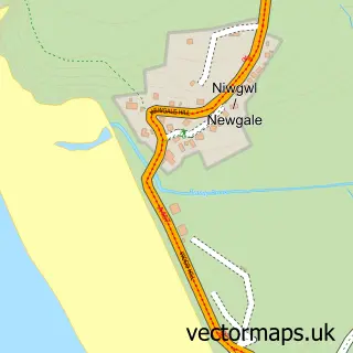
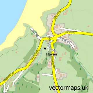
This Nolton Haven street map is a detailed vector street map covering a 750m x 750m area. Select a larger area to create and download your own vector street map of Nolton Haven.
The 750-metre map sample for Nolton Haven covers 57 mapped buildings and approximately 8.3 km of road detail, of which 3 named roads are named. The immediate area includes 1 pub. The wider area around Nolton Haven features 2 tourism points of interest, 1 food and drink venue and 3 hotels. To create a larger or custom map of Nolton Haven, the map builder lets you define your own coverage area and download editable SVG, PDF and PNG files.
Create a larger editable map of Nolton Haven
Choose any area you need and generate a high-quality vector map instantly. Perfect for print, planning, design, business and personal use.

This Nolton Haven street map in Dyfed is available as downloadable SVG, PDF and PNG map files, or as a printed map for planning, business, display, education, local information and design work. You can also create a larger custom map area using the map selector.
What this Nolton Haven map sample shows
Nolton Haven lies within Nolton And Roch Community parish, part of Camrose ward in the Sir Benfro - Pembrokeshire local authority area. The postcode geography for this area includes the SA postcode area, the SA62 postcode district and the SA62 3 postcode sector. Residents fall under the Hywel Dda University Health Board for NHS services.
Local features near Nolton Haven
Within 2 milesAmenities and services in and around Nolton Haven.
Administrative and postcode information for Nolton Haven
Nolton Haven lies within Nolton And Roch Community parish, part of Camrose ward in the Sir Benfro - Pembrokeshire local authority area. The postcode geography for this area includes the SA postcode area, the SA62 postcode district and the SA62 3 postcode sector. Residents fall under the Hywel Dda University Health Board for NHS services.
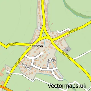
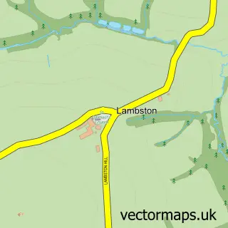
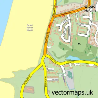
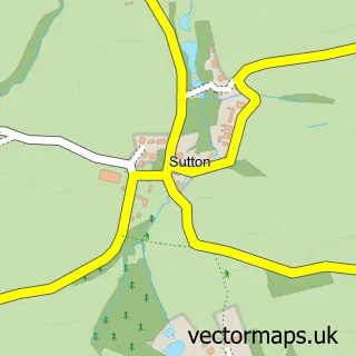
Nearby street map samples around Nolton Haven

More street maps in Dyfed
750 metre map area coverage
Boundary, postcode and point of interest information for the 750m x 750m rectangle centred on this sample map.
Boundaries containing map centre
Constituency: Mid and South Pembrokeshire Co Const
District: Sir Benfro - Pembrokeshire
Icb: Hywel Dda
Parish: Nolton and Roch Community
Police Force: dyfed-powys
Postcode District: SA62
Postcode Sector: SA62 3
Nearby boundaries intersecting sample
No additional intersecting boundaries found.
Postcode coverage
POI category counts
Hotel: 3
Campground: 2
Holiday Rental Home: 2
Beach: 1
Event Planning: 1
Pub: 1
Sample points of interest
- Nolton Haven Beach
- Nolton Cross Caravan Park
- Nolton Haven Bay Campsite
- The Mariners
- Nolton Haven Holiday Cottages
- Nolton Haven Quality Cottages
- Nolton Haven Quality Cottages
- Smithy Cottage Holiday Home, Nolton Haven
- Westerly
- Mariners Inn
Create a larger editable map of Nolton Haven
This sample shows only a 750 metre area. To create a larger map of Nolton Haven, use our map builder to choose your own coverage area, add titles and download editable SVG, PDF and PNG files.
Create a custom map of Nolton Haven